Deutsch-Chinesische Enzyklopädie, 德汉百科


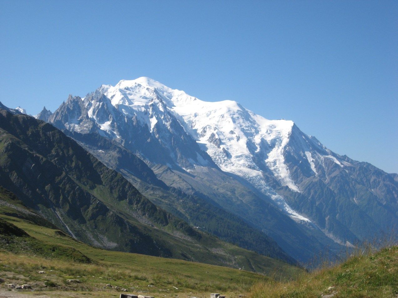
勃朗峰(法语:Mont Blanc,意大利语:Monte Bianco,意为“白色山峰”[1]),是阿尔卑斯山的最高峰,位于法国的上萨瓦省和意大利的瓦莱达奥斯塔大区的交界处。勃朗峰是西欧与欧盟境内的最高峰[2],海拔为4,808.73米[3][4]。勃朗峰于1786年8月8日首次被人类征服。勃朗峰有时也被称为“白色少女”(法语:La Dame blanche)或“白色山峰”(意大利语:Il Bianco)。
勃朗峰附近最有名的两个城镇是意大利瓦莱达奥斯塔大区的库马约尔与法国罗讷-阿尔卑斯大区上萨瓦省的霞慕尼(Chamonix),这里也是第一届冬季奥运会的举办地区。游客可以搭乘缆车上山,路线会经过库尔马耶乌尔与霞慕尼。
白山隧道于1957年开始建造,于1965年完成,连接着法国的霞慕尼及意大利的库马约尔,全长11.6公里,是穿越阿尔卑斯山主要的交通路线。
Der Mont Blanc [mõˈblɑ̃] (auch Montblanc[1], italienisch Monte Bianco [ˌmonteˈbi̯aŋko], übersetzt ‚weißer Berg‘) an der Grenze zwischen Frankreich und Italien ist mit 4810 m Höhe der höchste Berg der Alpen und der EU. Ob dieser oder der Elbrus (5642 m) im russischen Kaukasus der höchste Berg Europas ist, hängt von der Definition der innereurasischen Grenze ab. Seit 2000 steht das Bergmassiv des Mont Blanc auf der Vorschlagsliste Frankreichs zum UNESCO-Welterbe.[2]
モンブラン(仏: Mont Blanc 伊: Monte Bianco)は、フランスとイタリアの国境に位置する、ヨーロッパアルプスの最高峰。標高4810.9m。ヨーロッパではロシアのエルブルス山に次ぎ高い山であり、西ヨーロッパでは最高峰である。
Mont Blanc (French: [mɔ̃ blɑ̃]; Italian: Monte Bianco [ˈmonte ˈbjaŋko]; meaning "White Mountain") is the second-highest mountain in Europe after Mount Elbrus. It is the highest mountain in the Alps, rising 4,808 m (15,774 ft) above sea level. It is the eleventh-most prominent peak in the world.[3] The mountain stands in a range called the Graian Alps, between the regions of Aosta Valley, Italy, and Savoie and Haute-Savoie, France. The location of the summit is on the watershed line between the valleys of Ferret and Veny in Italy and the valleys of Montjoie, and Arve in France, on the border between the two countries.
The Mont Blanc massif is popular for outdoor activities like hiking, climbing, trail running and winter sports like skiing, and snowboarding. The most popular route is the Goûter Route, which typically takes two days.
The three towns and their communes which surround Mont Blanc are Courmayeur in Aosta Valley, Italy; and Saint-Gervais-les-Bains and Chamonix in Haute-Savoie, France. The latter town was the site of the first Winter Olympics. A cable car ascends and crosses the mountain range from Courmayeur to Chamonix, through the Col du Géant. The 11.6 km (7 1⁄4-mile) Mont Blanc Tunnel, constructed between 1957 and 1965, runs beneath the mountain and is a major trans-Alpine transport route.
Le mont Blanc (en italien : Monte Bianco), dans le massif du Mont-Blanc, est le point culminant de la chaîne des Alpes. Avec une altitude de 4 809 mètres, il est le plus haut sommet d'Europe occidentale et le sixième sur le plan continental en prenant en compte les montagnes du Caucase, dont l'Elbrouz (5 642 mètres) est le plus haut sommet. Il se situe sur la frontière franco-italienne, entre le département de la Haute-Savoie (en France) et la Vallée d'Aoste (en Italie) ; cette frontière est l'objet d'un litige entre les deux pays.
Le sommet, objet de fascination dans de nombreuses œuvres culturelles, a depuis plusieurs siècles représenté un objectif pour toutes sortes d'aventuriers, depuis sa première ascension en 1786. De nombreux itinéraires fréquentés permettent désormais de le gravir avec une préparation sérieuse. Afin de déterminer son altitude précise et quantifier l'évolution de celle-ci, des géomètres experts font l'ascension périodiquement. La dernière mesure connue (2017) est de 4 808,72 mètres.
Il Monte Bianco (Mont Blanc in francese e in arpitano) è la montagna più alta delle Alpi, d'Italia, di Francia, con i suoi 4.808,72 m di altitudine (ultima misura ufficiale il 13 settembre 2017)[1], e secondo alcune convenzioni, dell'Europa[2][3], da cui il soprannome, a volte usato, di Re delle Alpi[4], condividendo assieme al monte Elbrus nel Caucaso un posto tra le cosiddette Sette Vette del Pianeta.
Posta nel settore delle Alpi Nord-occidentali, lungo la sezione alpina delle Alpi Graie, sulla linea spartiacque tra la Valle d'Aosta (val Veny e val Ferret in Italia) e l'Alta Savoia (valle dell'Arve in Francia), nei territori comunali di Courmayeur[5] e Chamonix, dà il nome all'omonimo massiccio, appartenente alla sottosezione delle Alpi del Monte Bianco. Prevalentemente di natura granitica, irta di guglie e di creste, intagliata da profondi valloni nei quali scorrono numerosi ghiacciai, è considerata una montagna di grande richiamo per l'alpinismo internazionale[6] e, dal punto di vista della storiografia alpinistica, la nascita dell'alpinismo stesso coincide con la data della sua prima ascensione: l'8 agosto 1786[7].
El Mont Blanc o Monte Bianco —orónimo en francés e italiano, respectivamente; traducido al español como ‘Monte Blanco’— es la montaña granítica culminante de los Alpes, con una altitud oficial de 4810 m s. n. m. (metros sobre el nivel del mar) según la última medición de septiembre de 2013.1 Es el punto más elevado de la Unión Europea y uno de los más altos del resto de Europa, superado solo por varias montañas de Rusia y Georgia como el Elbrús (5642 m s. n. m.).3
Rodeado de valles con numerosos glaciares, el Mont Blanc forma parte del macizo homónimo que se extiende entre las demarcaciones del valle de Aosta, en Italia, y de Alta Saboya, en Francia. Las ciudades más pobladas cercanas al Mont Blanc son Chamonix-Mont-Blanc y Saint-Gervais-les-Bains, situadas en Francia, y Courmayeur en Italia.45
La situación de la cima es compartida entre Italia y Francia por un tratado internacional de 1860, aunque desde entonces se mantiene cierta controversia y diferentes fuentes cartográficas atribuyen enteramente la ubicación a uno de los dos países. Así, los mapas del Instituto Geográfico Nacional de Francia incluyen toda la cumbre dentro de las propias fronteras, lo que contrasta con el mapa geográfico del Archivo de Estado de Turín, según el cual la cima es íntegramente italiana.6
Numerosos glaciares se encuentran a su alrededor: al sur los glaciares de Freney, de La Brenva, de Miage, del Mont Blanc y de Brouillard, y al norte, los glaciares de Bossons y de Taconnaz. En 1957 se inició la construcción del túnel de Mont Blanc (se terminó en 1965), que tiene 11,6 km de largo y es una de las mayores rutas de transporte transalpino, ya que une a Italia y Francia.7 El macizo del Mont Blanc es la cuna del alpinismo, cuyas expediciones empezaron hacia el siglo xviii, siendo un destino de referencia en Europa para la práctica del senderismo, el esquí y el snowboarding.
Монбла́н (фр. Mont Blanc, итал. Monte Bianco, букв. «белая гора») — кристаллический массив, высота которого достигает 4810 м (самая высокая точка Европы при условии проведения границы Европы и Азии по северной границе Кавказа). Расположен в Западных Альпах, входящих в горную систему Альпы. Находится на границе Франции и Италии в районах Верхняя Савойя и Курмайор. Высшая точка Альп и Европы, без учёта кавказских пиков. Протяжённость — около 50 км. Площадь оледенения свыше 200 км², крупный ледник Мер-де-Глас. Центр альпинизма, а также горного туризма — вокруг Монблана проходит популярный в Европе пеший туристический маршрут Tour du Mont Blanc.
Под Монбланом проложен автомобильный тоннель длиной в 11,6 км, соединяющий Францию и Италию. Проезд через тоннель платный. Стоимость проезда зависит от стороны въезда, типа транспортного средства и количества поездок.
У западного подножья Монблана, на французской стороне расположен известный горнолыжный курорт Шамони. У южного, на итальянской стороне — Курмайор.

跑酷,(香港譯作:「飛躍道」),即Parkour(或Le Parkour),有時簡寫為PK,常被归类为是一种極限運動,以日常生活的環境(多为城市)為運動的場所。它并没有既定规则,做这项运动的人只是将各种日常设施当作障碍物或辅助,在其间跑跳穿行。
目前有多种中文译法,除「跑酷」外,还有「暴酷」、「城市疾走」、「位移的藝術(l'art du déplacement)」。香港譯作 : 「飛躍道」。
這個運動是由法國的大衛·貝爾(David Belle)所創立的,它能使人通过敏捷的运动来增强身心对紧急情况的应变能力,这点和武术近似。不同之处,武术虚拟格斗反击,而跑酷虚拟紧急脱逃。
Parkour ( 飛躍道 )不只是對身體有利,思想也是很重要的。當在練Parkour (飛躍道) 的時候,你要非常的專注。學 Parkour(飛躍道)會讓人明白, 怎麼克服自己的恐懼 (Fear ), 和加強克服困難的能力。人是不斷提升自己和突破障礙的。


Stratosphärensprung bezeichnet einen Fallschirmsprung aus der Stratosphäre, also einen Absprung aus einer Höhe von über der Troposphäre, die je nach Breitengrad bis in etwa 8 bis 18 Kilometer Höhe reicht. Im englischen Sprachraum hat sich dafür, in Abgrenzung zum Ausdruck „Sky diving“ für das Fallschirmspringen, der Ausdruck „Space diving“ etabliert, obwohl der Beginn des Weltraums (engl. space) durch die Fédération Aéronautique Internationale (FAI) bei der Kármán-Linie in 100 Kilometern Höhe festgelegt wurde.
Ein Stratosphärensprung unterscheidet sich erheblich von einfachen Fallschirmsprüngen. Zunächst ist die erforderliche Höhe nicht mit einem Flugzeug erreichbar, weshalb stattdessen ein Heliumballon zum Einsatz kommt. Darüber hinaus benötigt ein Springer in der Umgebung der Stratosphäre zum Schutz einen Raumanzug. Die Geschwindigkeit, die beim Freifall erreicht wird, beträgt bis zu 1.300 km/h. Für einen stabilen Freifall kann ein Bremsschirm benutzt werden.


 Sport
Sport

 Ski vacation
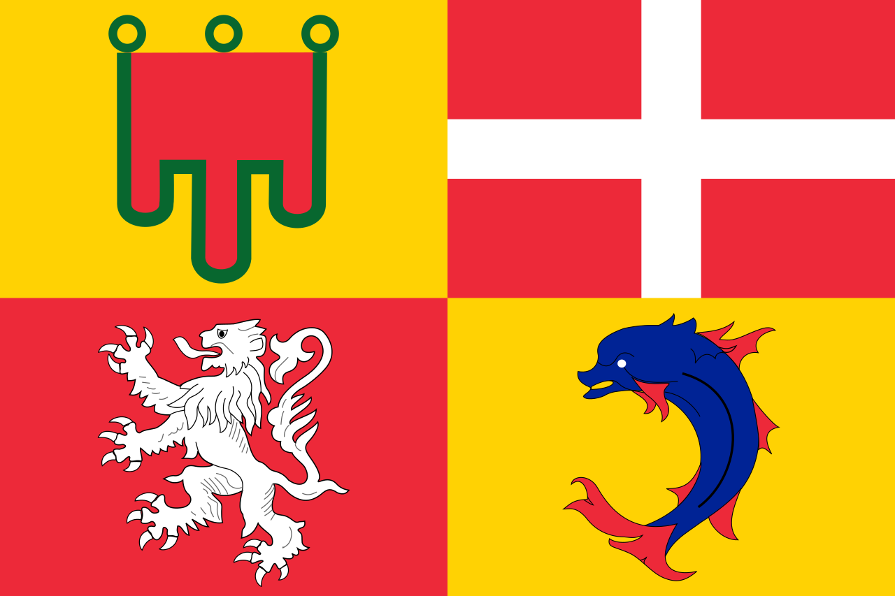
 Auvergne-Rhône-Alpes
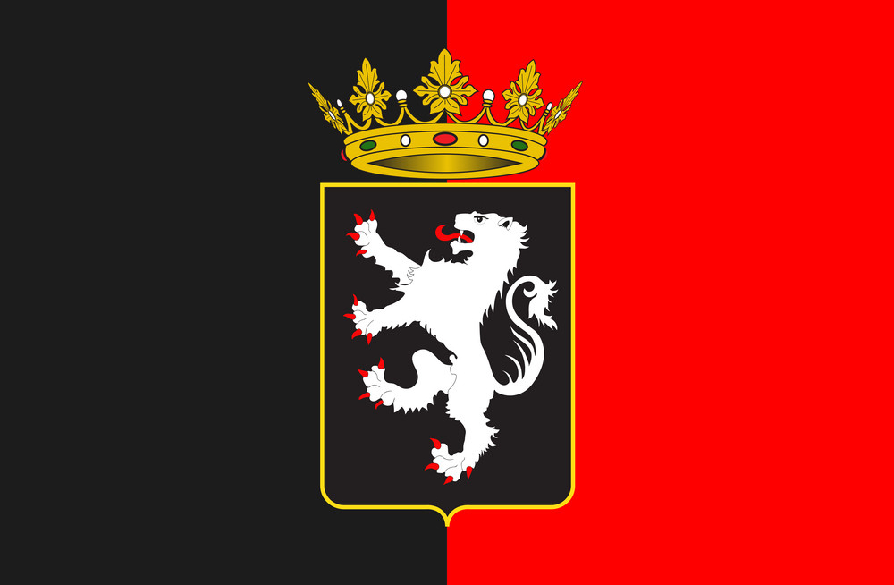
 Valle d´Aosta
 Motorsport