
Deutsch-Chinesische Enzyklopädie, 德汉百科
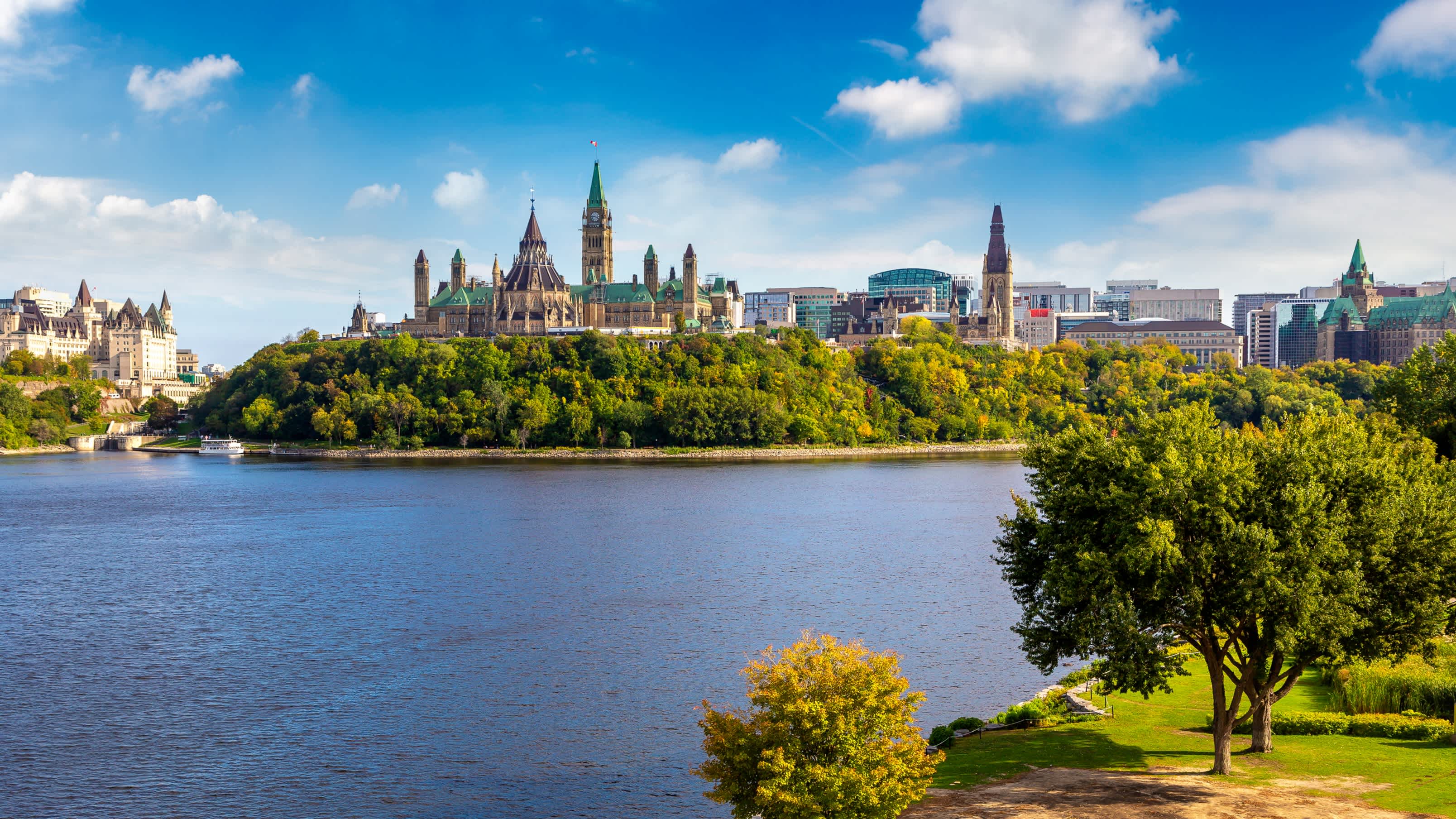

渥太华(Ottawa)是加拿大的首都,全国第四大城市,面积2,779平方公里,位于安大略省东南部,渥太华河南岸,多伦多以东400公里,蒙特利尔以西190公里。在2011年人口统计中,渥太华城市有883,391人,市区有1,236,324人,使其成为人口普查都会区域(CMA)第四的城市。
在1826年9月26日以“Bytown”之名建立,1850年1月1日合并为一个城镇,[8]并于1855年1月1日以“渥太华”之名合并取代。并不断发展成为加拿大的政治和工业技术中心。城市的原有边界由后来经过多次的小规模兼并而扩大的。“渥太华”这个名称是来自亚冈昆语(Algonquin language)adawe,意思为“贸易”。[9]渥太华常被华人简称为渥京。
加拿大与美国、澳大利亚等国不同,没有将首都城市设为联邦直辖的行政区,但是渥太华的土地管理和城市规划是由国家首都委员会(National Capital Commission)负责。
渥太华最初为爱尔兰和法国的基督教乡镇,现在已成为一个具有多元文化、高水准生活水平,低失业率的大城市。
艾蒂安·布鲁尔(Étienne Brûlé)是第一位来到渥太华河的欧洲人,并于1610年去五大湖的途中经过了渥太华。[10]三年后,萨缪尔·德·尚普兰描述了在这个地区的瀑布和见到的阿尔衮琴人。阿尔衮琴人以使用渥太华河一词达百年了。[10]渥太华原是属于亚冈昆部落(Algonquian peoples)的加拿大原住民的家园。亚冈昆人将渥太华河称作“Kichi Sibi”或:Kichissippi“,意思是“大河”。[11]这些早期的探险家来到之后,许多传教士也陆续来到渥太华。[12][13][14]
1800年3月7日,企业家菲利门·怀特(Philemon Wright)在渥太华河北侧,位于渥太华对面的魁北克加蒂诺赫尔区域建立了第一个欧洲人定居点。[15][16]他与5名农民和25位劳工,[11]着手开始在此殖民地建立一个名叫“怀特城镇”(Wrightsville)的农业社区。[17]怀特发现这条河是介于渥太华河谷(Ottawa Valley)与蒙特利尔之间的绝佳木材运输通道,木材加工和贸易使渥太华地区很快繁荣起来。1812年战争之后,大量军人家庭在此定居,政府亦致力推动贫困的爱尔兰人向渥太华移民,在此后的几十年爱尔兰移民蜂拥而至。同时,法裔加拿大人也从魁北克南下,大部分人参与丽都运河修建工程或从事木材贸易。
1832年,约翰·拜(John By)上校主导的丽都运河工程竣工,将渥太华与金斯敦和安大略湖连为一体,使之成为地区重镇。运河西部是国会山所在地,称为“上城”;而东部介于运河与丽都河之间的地区称为“下城”。嘈杂拥挤的“下城”容易爆发传染病,著名的有1832年的霍乱和1847年的红热病。
1857年12月31日,维多利亚女王选择渥太华为加拿大省的首都(包括现在的安大略和魁北克)。虽然现代的渥太华是加拿大第四大城市,但在当年,她仅仅是一个木材贸易通道中的内陆小镇,并且距离殖民地的几个主要城市(东部的蒙特利尔和魁北克城;西部的多伦多和金斯敦)路途遥远。女王的顾问们建议渥太华成为首都之选有两大重要理由:首先,渥太华是唯一具有一定规模、并且位于加拿大省东西部边界地(现安大略与魁北克边界)的城市,定都于此是平衡两个殖民地及其英裔、法裔居民的聪明妥协之举;其次,1812年战争表明,其他主要城市容易受到美国人的攻击,因为过于靠近美加边界。渥太华位于腹地,易于防守,渥太华河及丽都运河使之与加拿大东西部之间交通极为便利。另外两个方面的考虑是:渥太华正好介于多伦多和魁北克城之间(距离这两个城市都是500公里),并且城市规模较小,因而不容易受到大规模的暴徒袭击,因为政治动机,以往的首都城市都受到过这种攻击。2001年,渥太华与郊区和周边地区小城镇合并,成为规模较大的地区都市。
Ottawa (englisch [ˈɒtəwə], französisch [ɔtaˈwa]) ist die Bundeshauptstadt Kanadas. Sie liegt im östlichen Teil der Provinz Ontario am Fluss Ottawa, unmittelbar an der Grenze zur Provinz Québec. Ottawa bedeutet „Händler“ in der Sprache der Algonkin, eines Volkes, das zur Zeit der Besiedlung am Fluss Handel trieb. Am anderen Ufer des Flusses liegt die Zwillingsstadt Gatineau. Ottawa selbst zählt 883.391 Einwohner und ist damit die sechstgrößte Stadt Kanadas, der Großraum Ottawa-Gatineau ist mit 1.236.324 Einwohnern (Volkszählung 2011) der viertgrößte Ballungsraum Kanadas.
Die Bevölkerung ist zu 63 % englisch- und zu 15 % französischsprachig. Ottawa ist in der Region die einzige offiziell zweisprachige Stadt. In der Stadt selbst überwiegt die englische Sprache, im Gegensatz zu dem auf der anderen Seite des Ottawa-Flusses gelegenen Gatineau, in dem die französische Sprache überwiegt. Durch eine große Einwandererzahl sind auch zahlreiche weitere Sprachen geläufig.
Die Wirtschaft der Hauptstadt wird hauptsächlich von zwei Sektoren getragen: zum einen durch die Arbeitsplätze der Bundesbehörden und der Bundesregierung, zum anderen von denen der Hochtechnologieindustrie. Ottawa belegt beim Bruttoinlandsprodukt und dem Nettoeinkommen der Angestellten vordere Plätze im landesweiten Vergleich und belegt den ersten Platz bei der Pro-Kopf-Zahl von Einwohnern mit akademischem Grad.
オタワ(英語: フランス語: Ottawa 英語発音: [ˈɒtəwə]  聞く[ヘルプ/ファイル])は、カナダの首都。オンタリオ州東部に位置する地方行政区の一つでもある。オタワ川を挟んで隣接するガティノーを含め連邦政府の行政機関が集中する行政都市である。
カナダにはアメリカの首都ワシントンD.C.とは違い、連邦政府の特別地区(Capital District)が存在せず、オタワはオンタリオ州内の一都市となっている。行政レベルはトロントなどと同じ単一層自治体に位置づけられる。
オタワはケベック州の都市ガティノーを含めた周辺都市とでオタワ首都圏(NCR、National Capital Region)を形成している。
2006年の市域人口はおよそ81万人でカナダ国内ではトロント・モントリオール・カルガリーに次ぐ4番目。広域圏の人口は113万人を数えるが、カナダの中ではトロント等のような大都会というわけではない。
1826年~1831年に軍事的目的でオタワ川とオンタリオ湖を結ぶリドー運河が建設されたが、この時測量を担当した軍人の名にちなんでバイタウン(Bytown)の小村が生まれ、これが今日のオタワの母体となった。
1854年に市街再編、川の名からオタワに改名された。当時首都の決定を巡ってケベック、モントリオール、キングストン、トロントの4都市が激しく競い合ったが、1858年、ビクトリア女王の独断で英仏両勢力のほぼ境界に位置するオタワ(当時人口は約2万人)が選定された。
第二次世界大戦中、オランダのユリアナ王女はカナダへ亡命し、オタワに身をよせていた。ユリアナ王女はオタワ滞在中に出産を迎えたが、カナダは出生地主義であり、カナダ領内で生まれた子供には自動的にカナダ国籍が与えられるため、二重国籍を認めていないオランダの法律下では生まれた子供がオランダ国籍を喪失する恐れがあった。そのため、カナダ政府は病室を一時的にカナダ領から外す特別措置をとった。この時に生まれたのが、ユリアナ王女の三女(ベアトリクス前女王の妹)マルフリート王女である。オランダ王室はこの恩義の返礼と感謝の意を込めて、毎年チューリップの球根を贈っている。オランダとの友好をも意味するチューリップが毎年5月にチューリップ・フェスティバルの会場いっぱいに咲くことから、オタワは「チューリップ・シティ」とも呼ばれる。その数は10万本以上で世界最大規模のチューリップ・フェスティバルとなっている。同会場のインターナショナルパビリオンには、日本のパビリオンもあり、地元の日系人関係者が日本パビリオンを主催している。
Ottawa (/ˈɒtəwə/ ( listen), /-wɑː/; French pronunciation: [ɔtawa]) is the capital city of Canada. It stands on the south bank of the Ottawa River in the eastern portion of southern Ontario. Ottawa borders Gatineau, Quebec; the two form the core of the Ottawa–Gatineau census metropolitan area (CMA) and the National Capital Region (NCR).[12] As of 2016, Ottawa had a city population of 964,743 and a metropolitan population of 1,323,783 making it the fourth-largest city and the fifth-largest CMA in Canada.
Founded in 1826 as Bytown, and incorporated as Ottawa in 1855, the city has evolved into the political centre of Canada. Its original boundaries were expanded through numerous annexations and were ultimately replaced by a new city incorporation and amalgamation in 2001 which significantly increased its land area. The city name "Ottawa" was chosen in reference to the Ottawa River, the name of which is derived from the Algonquin Odawa, meaning "to trade".[13]
Ottawa has the most educated population among Canadian cities[14] and is home to a number of post-secondary, research, and cultural institutions, including the National Arts Centre, the National Gallery, and numerous national museums. Ottawa has the highest standard of living in the nation and low unemployment.
Ottawa2 (prononciation en français : /ɔ.ta.wa/, en anglais /ˈɒ.tə.wə/ ou /ˈɒ.tə.wɑː/) est la capitale du Canada. La ville est située dans l'est de l'Ontario, sur la rive sud de la rivière des Outaouais, face à la ville québécoise de Gatineau.
La ville est fondée en 1826 lors de la construction du canal Rideau3 et porte d'abord le nom de Bytown. Le 31 décembre 1857, l'emplacement est choisi pour accueillir la nouvelle capitale de la province du Canada. Devenue capitale de la Confédération canadienne, Ottawa accueille aujourd'hui les institutions fédérales du pays, tels que le Parlement et les résidences du gouverneur général et du Premier ministre.
En 2016, Ottawa comptait 934 243 habitants, ce qui en fait la quatrième ville la plus peuplée du Canada. Elle appartient à la région de la capitale nationale4 qui abrite 1,2 million d'habitants.
Ottawa compte un grand nombre de francophones5. Dans la capitale canadienne, 63,7 % de ses habitants déclarent avoir l'anglais comme langue maternelle et 15 % le français avec 34,1 % des habitants parlant les deux langues en 20116.
Ottawa (/ˈɔttawa/[1]; in inglese /ˈɑːtəwə/, in francese: /ɔtawa/) è la capitale federale del Canada, situata sulla sponda meridionale del fiume Ottawa, nell'omonima valle nella provincia dell'Ontario, al confine orientale con la provincia del Québec. Per popolazione è la quarta città nazionale dopo Toronto, Montréal e Calgary, se si esclude la popolazione della "Grande Vancouver", ed è anche quarta come area metropolitana, insieme alla città di Gatineau in Québec, situata sulla sponda settentrionale del fiume Ottawa. La città è il risultato della fusione nel 2000 della vecchia città di Ottawa con dieci municipalità limitrofe. Nel 2006 Ottawa contava 812.129 abitanti[2][3] (1.146.790 nell'area metropolitana cittadina).
In Canada non esiste un distretto federale della capitale; Ottawa è pertanto solo una municipalità all'interno della sua provincia. Ma, sebbene non rappresenti un separato distretto amministrativo, è parte della National Capital Region, che include al suo interno oltre alla città anche la municipalità di Gatineau. Ottawa è gestita da un consiglio cittadino formato da 24 membri: 23 rappresentanti delle circoscrizioni più un sindaco. L'attuale sindaco di Ottawa è Jim Watson, che è succeduto a Larry O'Brien il 25 ottobre 2010.
Ottawa è distante 400 km da Toronto e 200 km da Montréal[4].
La città basa la sua economia sulle attività dei ministeri, del governo federale e del Parlamento del Canada, ma un consistente segmento della forza lavoro è occupata nel settore dell'alta tecnologia e del turismo.
Ottawa3 (ing. [ˈɒtəwə], fr. [ɔtaˈwa]) es la capital de Canadá y la cuarta ciudad más grande del país. Se ubica en el extremo sureste de la provincia de Ontario, a orillas del río Ottawa, que conforma la frontera entre las provincias de Ontario y Quebec. Se localiza aproximadamente a 400 kilómetros al este de Toronto y 200 al oeste de Montreal.4
Según el censo del año 2011, la ciudad tiene 1.083.391 habitantes, aunque sumando la población de los suburbios la cifra se eleva a 2.148.785.1 Aunque en ella predomina la población anglófona, hay una significativa población francófona (32,6%). Además, todos los servicios municipales de la ciudad son bilingües (inglés y francés).5
El 31 de diciembre de 1857 la ciudad fue escogida por la Reina Victoria del Reino Unido para ser la capital de Canadá,6 por ser un territorio neutral a la vista de las comunidades de habla inglesa y francesa. Asimismo, tiene una distancia importante con la frontera de los Estados Unidos de América, que en ese entonces pensaba en invadir las colonias británicas al norte.
Cabe destacar que pese a que Canadá es un Estado federal, su división administrativa no posee ningún distrito federal que albergue a la Capital Federal, a semejanza de otros países como Alemania (Berlín), Brasil (Brasilia), Austria (Viena), Bélgica (Bruselas), Argentina (Capital Federal), Estados Unidos (Distrito de Columbia), México (Ciudad de México) o Australia (Territorio Capital)— sino que Ottawa pertenece a la provincia de Ontario como una municipalidad erigida en la Región de la Capital Nacional, que contiene a la región de Ottawa. Su área metropolitana incluye no sólo los pueblos cercanos de Ontario, sino también la ciudad de Gatineau y la región de Outaouais que se encuentran en el lado quebequés del río Ottawa.
A pesar de la falta de distrito federal, existe la Comisión de la Capital Nacional (en inglés National Capital Commission, en francés Commission de la capitale nationale), un departamento del gobierno federal cuya responsabilidad es embellecer la Región de la Capital Nacional y mantener sus parques y atracciones históricas.7
Отта́ва[1] (англ. Ottawa [ˈɒtəwɑː]  слушать, фр. Ottawa) — столица Канады. Расположена в восточной части провинции Онтарио на берегу реки Оттавы, по которой проходит граница между провинциями Онтарио и Квебек. Оттава — четвёртый по величине город страны и второй по величине город Онтарио. Вместе с расположенным с квебекской стороны реки городом Гатино и рядом других муниципалитетов Оттава входит в Национальную столичную область.
Население Оттавы — 934 тысячи жителей, вместе с Гатино — 1 миллион 324 тысячи (по данным переписи населения 2016 года). Городское управление осуществляет муниципальный совет во главе с мэром. Пост мэра с 1 декабря 2010 года занимает Джим Уотсон.
Город был основан в 1820-е годы как лагерь солдат и ремесленников, строивших канал Ридо, а в 1850 году получил официальный статус города лесорубов и лесосплавщиков. До 1855 года город носил название Байтаун в честь подполковника Джона Бая, который руководил работами по постройке канала Ридо. С 31 декабря 1857 года Оттава — столица объединённой провинции Канада, с 1867 года — столица государства Канада. В дальнейшем город развивался как транспортный и промышленный центр, а во второй половине XX века пережил масштабную перестройку, направленную на улучшение городской экологии.
В конце XX и начале XXI века Оттава, ставшая центром развития высоких технологий, иногда удостаивается титула «северной Кремниевой долины». В качестве столицы Канады Оттава — место пребывания федеральных властных структур и крупнейших культурных центров, включая ведущие канадские музеи и Национальную картинную галерею.


 FIFA Fussball-Weltmeisterschaft 2026
 Women's Soccer World Cup 2003

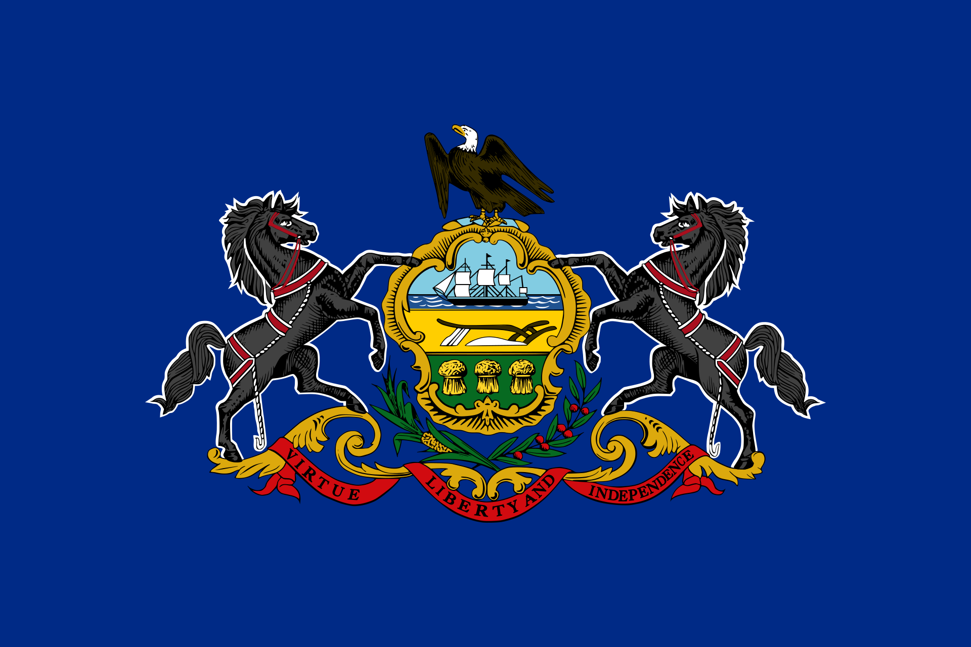 Pennsylvania-PA
 United States

 Important port

费城(英语:Philadelphia),即费利德菲亚,也常被简称为费利(或菲利,英语:Philly) ,中文又音译为非拉铁非和菲拉德尔斐亚,是美国宾夕法尼亚州人口最多、面积最大的都市,同时是美国第五大城。根据2010年人口普查数据,费城人口为1,526,006人。费城市中心的人口在全美国排名第五,仅次于纽约、洛杉矶、芝加哥和休斯顿。以现在美国官方的定义而言,费城都会区的面积大小排名全美第四,共约620万人居住其中,但若以其他定义来衡量,费城排名第六,次于旧金山湾区与华盛顿-巴尔的摩都会区。费城是德拉瓦河谷都会区的中心城市。
费利德菲亚即希腊文“友爱”的意思,是传教士命名的,费城是美国最老、最具历史意义的城市,它在美国史上有非常重要的地位。在18世纪时,费城是美国第二大城与人口最多的城市,在当时,它的政治与社会重要性超过纽约与波士顿。本杰明·富兰克林对费城的兴起贡献良多。从1854年起,费城市和费城县为两个并行的地方政府,而从1952年起,市与县共有一个政府组织,但费城县仍属宾州州政府下的一个独立的县。
自从1854年通过“合并法案”(Act of Consolidation)后,费城市的边界就与费城县相同。在此之前,费城市只在南街(South Street)、葡萄街(Vine Street)与德拉瓦河与斯库基尔河(Schuylkill River)之间的区域。费城后来扩张至周围的西费城(West Philadelphia)、北费城(North Philadelphia)与东北费城(Northeast Philadelphia),同时也包括了几个小型的聚落如罗布鲁(Roxborough)、马拉扬克(Manayunk)、艾利山(Mount Airy)与栗树丘(Chestnut)。费城同时是全美最大的大学城(college town)之一,拥有许多高等学府,其中包括常春藤盟校的宾夕法尼亚大学,国家第一所医学院和法学院兼缘于此校。有超过120,000名大学生就读市区的学院与大学,周遭的都会区也有接近300,000名的大学与学院学生。
Philadelphia ist eine Stadt im US-Bundesstaat Pennsylvania. Mit rund 1,6 Millionen Einwohnern (Stand: 2016, Schätzung des U.S. Census Bureau) ist sie die sechstgrößte Stadt der Vereinigten Staaten[1] und die größte des Bundesstaates Pennsylvania. An der Ostküste ist Philadelphia nach New York City die zweitgrößte Stadt. Die Stadt liegt am Delaware River im Zentrum der Metropolregion Delaware Valley.
In der Geschichte der USA ist Philadelphia eine der bedeutendsten Städte. Nach New York und vor Washington war sie 1790 bis 1800 Nationalhauptstadt und damals die größte Stadt der USA sowie nach London die zweitgrößte englischsprachige Stadt der Welt. In Philadelphia tagte der erste und teilweise auch der zweite Kontinentalkongress sowie der Verfassungskonvent von 1787, die Amerikanische Unabhängigkeitserklärung wurde hier verkündet und die Verfassung beschlossen.
Philadelphia wird umgangssprachlich Philly oder City of Brotherly Love genannt, was von einer Übersetzung des griechischen Namens Philadelphia herrührt (φιλíα philía ‚Liebe‘ und ἀδελφός adelphós ‚Bruder‘ → φιλαδελφία philadelphía ‚Bruderliebe‘).
フィラデルフィア(英語: Philadelphia)は、アメリカ合衆国ペンシルベニア州南東部にある都市。同州の最大都市かつ北米有数の世界都市である。市内の人口は156万7442人(2015年推計[1])で全米第5位。
名門のペンシルベニア大学や工学系に強いドレクセル大学、日本にもキャンパスを置く州立大学のテンプル大学を抱える学術都市である。市内に約12万人、都市圏全体で約30万人と、全米で最も多くの学生を持つ都市のひとつである。
漢字の当て字和名は費拉特費、また短縮して費府。
なお、フィラデルフィア都市圏の治安は概ね良好であるが、デラウェア川の対岸にあるニュージャージー州カムデンは、デトロイトやセントルイスなどと並んで、全米で最も危険な都市のひとつとされる。
独立記念館や自由の鐘があり、近郊にはバレーフォージがある合衆国建国ゆかりの地である。
Philadelphia, often called Philly, is the largest city in the U.S. state and Commonwealth of Pennsylvania, and the sixth-most populous U.S. city, with a 2017 census-estimated population of 1,580,863.[6] Since 1854, the city has been coterminous with Philadelphia County, the most populous county in Pennsylvania and the urban core of the eighth-largest U.S. metropolitan statistical area, with over 6 million residents as of 2017.[4] Philadelphia is also the economic and cultural anchor of the greater Delaware Valley, located along the lower Delaware and Schuylkill Rivers, within the Northeast megalopolis. The Delaware Valley's population of 7.2 million ranks it as the eighth-largest combined statistical area in the United States.[5]
William Penn, an English Quaker, founded the city in 1682 to serve as capital of the Pennsylvania Colony.[8] Philadelphia played an instrumental role in the American Revolution as a meeting place for the Founding Fathers of the United States, who signed the Declaration of Independence in 1776 at the Second Continental Congress, and the Constitution at the Philadelphia Convention of 1787. Several other key events occurred in Philadelphia during the Revolutionary War including the First Continental Congress, the preservation of the Liberty Bell, the Battle of Germantown, and the Siege of Fort Mifflin. Philadelphia was one of the nation's capitals during the revolution, and served as temporary U.S. capital while Washington, D.C., was under construction. In the 19th century, Philadelphia became a major industrial center and a railroad hub. The city grew from an influx of European immigrants, most of whom came from Ireland, Italy and Germany—the three largest reported ancestry groups in the city as of 2015.[9] In the early 20th century, Philadelphia became a prime destination for African Americans during the Great Migration after the Civil War,[10] as well as Puerto Ricans.[11] The city's population doubled from one million to two million people between 1890 and 1950.
The Philadelphia area's many universities and colleges make it a top study destination, as the city has evolved into an educational and economic hub.[12][13] According to the Bureau of Economic Analysis, the Philadelphia area had a gross domestic product of US$431 billion in 2016, the eighth-largest metropolitan economy in the United States.[14] Philadelphia is the center of economic activity in Pennsylvania and is home to five Fortune 1000 companies. The Philadelphia skyline is expanding, with a market of almost 81,900 commercial properties in 2016,[15] including several nationally prominent skyscrapers.[16] Philadelphia has more outdoor sculptures and murals than any other American city.[17][18] Fairmount Park, when combined with the adjacent Wissahickon Valley Park in the same watershed, is one of the largest contiguous urban park areas in the United States.[19] The city is known for its arts, culture, cuisine, and colonial history, attracting 42 million domestic tourists in 2016 who spent US$6.8 billion, generating an estimated $11 billion in total economic impact in the city and surrounding four counties of Pennsylvania.[20] Philadelphia has also emerged as a biotechnology hub.[21]
Philadelphia is the birthplace of the United States Marine Corps,[22][23] and is also the home of many U.S. firsts, including the first library (1731),[24] hospital (1751),[24] medical school (1765),[25] national capital (1774),[26] stock exchange (1790),[24] zoo (1874),[27] and business school (1881).[28] Philadelphia contains 67 National Historic Landmarks and the World Heritage Site of Independence Hall.[29] The city became a member of the Organization of World Heritage Cities in 2015,[30] as the first World Heritage City in the United States.[13] Although Philadelphia is rapidly undergoing gentrification, the city actively maintains mitigation strategies to minimize displacement of homeowners in gentrifying neighborhoods.[31]
Philadelphie (en anglais Philadelphia, prononcé [ˌfɪləˈdɛlfiə]), surnommée Philly, est une ville du Commonwealth de Pennsylvanie, située dans le Nord-Est des États-Unis, entre New York et Washington DC. Le nom de la ville, choisi par William Penn, signifie « amitié fraternelle2 » en grec, car elle devait être un îlot de tolérance religieuse.
Cinquième ville du pays selon le recensement fédéral de 2010 (après New York, Los Angeles, Chicago et Houston) et sixième agglomération3, Philadelphie compte 1 526 006 habitants dans la municipalité (Philadelphia City) et 5 965 343 habitants dans son aire métropolitaine (PMSA de Philadelphie–Camden–Wilmington)4.
Centre historique, culturel et artistique majeur aux États-Unis, Philadelphie est également un grand port industriel sur le fleuve Delaware qui se jette dans l’océan Atlantique. Fondée en 1682, elle fut jusqu'à 1790 la ville la plus peuplée d'Amérique du Nord. Entre 1774 et 1800, le Congrès des États-Unis s'est réuni en plusieurs endroits, le plus souvent à Philadelphie, faisant de celle-ci la capitale temporaire du pays, jusqu'à ce que Washington devienne la capitale définitive. Par ailleurs, Philadelphie entretient pendant quelques décennies une rivalité financière et politique avec New York, avant d'être éclipsée par sa rivale.
À présent, Philadelphie est la principale métropole de l'État de Pennsylvanie, dont la capitale est Harrisburg, et le siège du comté de Philadelphie.
Filadelfia[1][2] (in inglese: Philadelphia, informalmente anche Philly[3]) è la sesta città per popolazione degli Stati Uniti d'America e la più importante dello stato della Pennsylvania. Nel 2014 contava 1 560 297 abitanti; mentre la sua area metropolitana, estesa anche su parti dei vicini stati del Delaware e del New Jersey, raggiungeva i 5,8 milioni di abitanti.
Fondata nel 1682 dal quacchero William Penn, Filadelfia è una delle più antiche città degli Stati Uniti d'America, e fra la fine del XVIII secolo e l'inizio del XIX fu la città più grande del Paese. In quell'epoca vi furono redatte la dichiarazione di Indipendenza (1776) e la costituzione statunitense.
Filadelfia sorge sulla riva occidentale del fiume Delaware, ed è attraversata da un suo affluente, lo Schuylkill; il centro storico della città è compreso fra questi due fiumi.
Filadelfia3 (en inglés, Philadelphia, también apodada coloquialmente Philly) es la mayor ciudad del estado de Pensilvania, Estados Unidos. Está ubicada sobre la orilla derecha del río Delaware —poco antes de su desembocadura en la bahía de Delaware—, que la separa del estado de Nueva Jersey, y en un punto intermedio entre las importantes ciudades de Nueva York y Washington D. C. Es la quinta ciudad del país por población y la 51.ª del mundo. El condado de Filadelfia, del que es sede, tiene 1 526 000 habs. (Philadelphia City) y su área metropolitana (Valle de Delaware) alcanza los 6 millones de habs. (censo de 2014).
Es un gran centro histórico, cultural y artístico en los Estados Unidos, y de la misma forma un importante puerto industrial sobre el río Delaware, que se extiende hasta el océano Atlántico. Fundada en 1682, fue durante el siglo XVIII la ciudad más poblada de las Trece Colonias y la tercera ciudad más poblada del Imperio británico (tras Londres y Dublín), antes de convertirse provisionalmente en la ciudad capital de los Estados Unidos. Fue velozmente superada por Nueva York y le cedió su estatus de capital a la flamante ciudad de Washington D.C. Hoy, Filadelfia es la principal metrópolis del estado de Pensilvania, aunque la capital y sede del gobierno es Harrisburg.
El nombre de la ciudad, elegido por William Penn, significa "la ciudad del amor fraternal" (compuesta de philos (φίλος) "amor", y adelphos (ἀδελφός) "hermano"), pues se deseaba que fuese un refugio de tolerancia religiosa.
Establecida en 1682, es una de las ciudades más antiguas del país, y, como capital original y ciudad más grande de la época colonial, gozaba de una importancia política y social mayor que Boston o Nueva York. En 1776, el Congreso Continental de las Trece Colonias se reunió en Filadelfia y en el 4 de julio de ese año, declaró la independencia de Gran Bretaña. Quizás el ciudadano más famoso de Filadelfia fue Benjamin Franklin, escritor, científico y político.
Filadelfia es fundamental para la historia afroamericana, su gran población negra es anterior a la Gran Migración.
Филаде́льфия (англ. Philadelphia [ˌfɪləˈdɛlfiə], общеупотр. сокр. «Фи́л(л)и», англ. Philly [ˈfɪli])[1][2] — один из старейших городов США, пятый по величине населения город страны и самый населённый город штата Пенсильвания, с населением 1 526 006 жителей (согласно переписи 2010 года). Население агломерации вместе с пригородами составляет 6 034 678 жителей. Расположен на реке Делавэр у побережья Атлантического океана[3].
Филадельфия богата историей и культурой. В исторической части города до сих пор царит атмосфера маленького и тихого городка, каким была и Филадельфия, и другие колониальные города во время образования государства Соединённые Штаты Америки.
Основан в 1682 году Уильямом Пенном. Имеет прозвище «Город братской любви» (Φιλαδέλφεια на греческом языке означает 'братолюбие'), это связано с тем, что город основан переселенцами, принадлежавшими к протестантской общине квакеров (в США и сейчас его неофициально называют Квакертаун - 'город квакеров'). В 1776 году в Филадельфии Второй континентальный конгресс тринадцати североамериканских штатов принял Декларацию независимости. В 1776, 1777, 1778—1783 и 1790—1800 Филадельфия была временной столицей США.
Одним из известных жителей города был Бенджамин Франклин.

菲尼克斯(英语:Phoenix),又译凤凰城,是美国亚利桑那州的首府和最大城市。凤凰城于1881年2月25日被注册为城市,当时凤凰城在纳瓦霍语中被称为Hoozdo,意为炎热之地;在西阿帕契语中被称为Fiinigis。凤凰城位于常年干枯的盐河两岸。
凤凰城在2005年的人口大约为1,475,834,在2000年的官方人口普查中为全美第六大城市,但人口统计上已经在2005年超过了费城,成为全美第五大城[1],而2010年美国人口普查就显示该市有144万5632人,位列全美第六。凤凰城的城市面积在全美排名第十[2]。截至2006年,大凤凰城地区已经成为全美第十三大都会区,人口约为4,039,182。1990年至2000年间,凤凰城都会区面积增长34%,为全美增长速度第八之城市。根据2016年GaWC的世界级城市名册排名,凤凰城在全球都市区中,位列Gamma级别(参照 GaWC 2016年版排名)。
菲尼克斯天港国际机场位于凤凰城市中心南部地带,是全美航空、西南航空的枢杻港,是亚利桑那州最大的空港,也是美国西南地区重要交通枢纽之一,同时也是美国第八与全球第二十六位繁忙机场。
フェニックスは1867年に灌漑事業と共に創設され、開拓者らが都市を創設した。
20世紀前半からニューディール政策によるコロラド川の電源開発、ルーベルトダム、フーバーダム、クーリッジダムの開発によって、無尽蔵の電力を供給、軍事産業に関わる航空機産業や電器機械工業が発展していき、今日では半導体などのエレクトロニクス産業、また観光都市としても発達している。
なお、砂漠のど真ん中に都市が形成されているため、郊外の至る所でサボテンが見られ、市の象徴にもなっている。
Phoenix (/ˈfiːnɪks/) is the capital and most populous city of the U.S. state of Arizona. With 1,626,078 people (as of 2017), Phoenix is the fifth most populous city nationwide, the most populous state capital in the United States, and the only state capital with a population of more than one million residents.[5][6]
Phoenix is the anchor of the Phoenix metropolitan area, also known as the Valley of the Sun, which in turn is a part of the Salt River Valley. The metropolitan area is the 12th largest by population in the United States, with approximately 4.73 million people as of 2017.[7] In addition, Phoenix is the seat of Maricopa County, and at 517.9 square miles (1,341 km2), it is the largest city in the state, more than twice the size of Tucson and one of the largest cities in the United States.[8]
Settled in 1867 as an agricultural community near the confluence of the Salt and Gila Rivers, Phoenix incorporated as a city in 1881. It became the capital of Arizona Territory in 1889.[9] Located in the northeastern reaches of the Sonoran Desert, Phoenix has a hot desert climate.[10][11] Despite this, its canal system led to a thriving farming community with many of the original crops, such as alfalfa, cotton, citrus, and hay, remaining important parts of the Phoenix economy for decades.[12][13] Cotton, cattle, citrus, climate, and copper were known locally as the "Five C's" of Phoenix's economy. These industries remained the driving forces of the city until after World War II, when high-tech companies began to move into the valley and air conditioning made Phoenix's hot summers more bearable.[14]
The city averaged a four percent annual population growth rate over a 40-year period from the mid-1960s to the mid-2000s.[15] This growth rate slowed during the Great Recession of 2007–09, and has rebounded slowly.[16] Phoenix is the cultural center of the Valley of the Sun, as well as the entire state.[17]
Phoenix (en anglais [ˈfiːˌnɪks]) est la capitale et la plus grande ville de l'État de l'Arizona, aux États-Unis. Selon le Bureau du recensement des États-Unis, la ville comptait 1 445 632 habitants en 20101, estimée à 1 615 017 habitants en 2016, ce qui la place au sixième rang national. Son aire urbaine de 4 192 8872 habitants est la 14e du pays. 40 % de la population est hispanique. Phoenix est également le siège du comté de Maricopa.
La ville est située au cœur du désert de Sonora, dans la vallée de la rivière Salée, dont le lit est souvent asséché. Elle est entourée par les monts McDowell, South Mountain Park, White Tank Mountains et Superstition Mountains. L'irrigation permet de mener des activités agricoles.
Le climat attire toujours plus de résidents et l'activité économique prospère, notamment avec l'industrie électronique. En dix ans, la population a augmenté de 25 % et l'Arizona est l'État américain qui a un des plus forts taux de croissance démographique. En 2004, les villes de Mesa, Scottsdale, Glendale, Tempe, Chandler, Gilbert, Peoria se rejoignent et forment une métropole qui inclut 22 municipalités.
Localisée dans le nord-est du désert de Sonora, Phoenix possède un climat désertique chaud (classification de Köppen BWh).
Phoenix è la capitale e città più popolosa dello Stato dell'Arizona. Con 1.626.078 abitanti (a partire dal 2017), Phoenix è la quinta città più popolosa a livello nazionale, la più popolosa capitale statale degli Stati Uniti, e l'unica capitale statale con una popolazione di oltre un milione di abitanti.[1][2]
Phoenix è l'ancora dell'area metropolitana di Phoenix, conosciuta anche come Valley of the Sun, che a sua volta fa parte della Salt River Valley. L'area metropolitana è la dodicesima per popolazione negli Stati Uniti, con circa 4,73 milioni di abitanti a partire dal 2017.[3] Inoltre, Phoenix è il capoluogo della contea di Maricopa, e, con 517,9 miglia quadrate (1,341 km²), è la città più grande dello stato, più del doppio delle dimensioni di Tucson e una delle più grandi città degli Stati Uniti.[4]
Fondata nel 1867 come comunità agricola vicino alla confluenza dei fiumi Salt e Gila, Phoenix fu incorporata come città nel 1881. Diventò la capitale dell'Arizona nel 1889.[5] Situata nella parte nord-orientale del deserto di Sonora, Phoenix ha un clima desertico.[6][7] Nonostante questo, il suo sistema di canali ha portato a una fiorente comunità agricola, molte delle colture originali rimasero parti importanti dell'economia di Phoenix per decenni, come l'erba medica, il cotone, gli agrumi e il fieno (importante per l'industria del bestiame).[8][9] Il cotone (cotton), il bestiame (cattle), gli agrumi (citrus), il clima (climate) e il rame (copper) erano conosciuti localmente come le "cinque C" dell'economia di Phoenix. Queste industrie rimasero le forze motrici della città fino a dopo la seconda guerra mondiale, quando le aziende tecnologiche iniziarono a spostarsi nella valle e l'aria condizionata rese le calde estati di Phoenix più sopportabili.[10]
La città ha registrato un tasso di crescita della popolazione annuale del quattro percento su un periodo di 40 anni dalla metà degli anni 1960 alla metà degli anni 2000.[11] Questo tasso di crescita ha rallentato durante la grande recessione tra il 2007 e il 2009 e ha registrato un rimbalzo lento.[12] Phoenix è il centro culturale della Valley of the Sun, così come dell'intero stato.[13]
Phoenix /ˈfiːnɪks/ (en ocasiones escrito con la grafía Fénix y pronunciado así en España, Fínix para Hispanoamérica)4 es la capital y ciudad más poblada del estado estadounidense de Arizona y del condado de Maricopa. También conocida como el Valle del Sol, tiene una población de 1 445 632 habs. en su municipalidad, mientras que la cifra de población incluida en su área metropolitana asciende a 4 192 887 habs. según el censo del año 2010, siendo por ello la sexta ciudad más poblada de los Estados Unidos y la capital de estado con mayor población.5
Nacida a partir del asentamiento fundado por Jack Swilling y su esposa Trinidad Escalante en 18686 en las cercanías del río Salado y Gila, se incorporó como ciudad el 5 de febrero de 1881. Toma su nombre del Fénix, nombre dado por lord Darrell Duppa. Es la principal ciudad del Área Metropolitana de Phoenix.
Esta ciudad se ha ido consolidando como una metrópolis moderna, en crecimiento y dinámica. En estos momentos Phoenix está viviendo un auge inmobiliario en lo que se refiere a edificaciones de más de 91 m de altura. Este crecimiento de la ciudad, no obstante, está empezando a crear importantes problemas medioambientales. 7
Фи́никс[2][3] (англ. Phoenix /ˈfiːnɪks/; в переводе — Феникс, оодхам: S-ki: kigk; явапай: Wathinka или Wakatehe; зап.-ап.: Fiinigis; навахо: Hoozdoh; мохаве: 'Anya Nyava)[4] — столица и крупнейший город американского штата Аризона. С населением в 1 445 632 (2010) Финикс является крупнейшей столицей штата из всех в США, включая федеральную столицу Вашингтон, а также 6-м по населению городом в стране (после Нью-Йорка, Лос-Анджелеса, Чикаго, Хьюстона и Филадельфии[5]).
Финикс является центром округа Марикопа и одним из крупнейших городов в Соединенных Штатах по занимаемой площади[6].
Агломерация Финикса (также известная, как Солнечная долина — часть долины Солт-Ривер) с населением в 4 398 762 (2010) является 12-й в США[7][8].
Рост населения в агломерации Финикса за последние 40 лет в среднем равен 24 % за десятилетие. Несмотря на то, что рост населения Финикса уменьшился, с 2008 года он начал восстанавливаться, так как из-за ипотечного кризиса 2008 года и упавших цен на жильё в город начало прибывать больше иммигрантов, в основном из Мексики. Судя по нынешнему темпу роста, аналитики предсказывают, что Финикс станет 4-м по населению городом в США к 2020[9].


波特兰(英语:Portland),又译作砵仑,是一座位于美国西北部的城市,地理位置在俄勒冈州威拉米特河汇入哥伦比亚河的入河口以南不远的地方。城市面积为145平方英里(380平方公里)。截至2016年,城市的人口估计为639,863人[7],是全美国人口第26多的城市。波特兰是俄勒冈州人口最多的城市,也是太平洋西北地区人口第三多的城市,仅次于华盛顿州的西雅图和加拿大的温哥华。整个波特兰都市地区的人口估计为2,424,955人[8],是全美第25大都市统计区。大约60%的人口居住在大波特兰地区。
波特兰的别称是“玫瑰之城”(这个名字最早出自1905年的刘易斯和克拉克远征百年纪念博览会),这是因为波特兰的气候特别适宜于种植玫瑰,市内有许多玫瑰园,比如波特兰华盛顿公园里的国际玫瑰试验园。波特兰还有许多其他昵称,比如由于当年城市建设速度较快,砍伐树木剩下的树桩来不及被清理,城市周边布满树桩而被称为“树桩城”;由于河流和桥梁较多而被称为“桥城”、“河城”等等,并获评选为全美最适合育婴的城市。
Portland ist eine Stadt im Nordwesten der Vereinigten Staaten im Bundesstaat Oregon. Portland ist die größte Stadt und das wirtschaftliche Zentrum des Bundesstaates.
Mit 639.863 Einwohnern (Volkszählung 2016) ist Portland nach Seattle im benachbarten Washington und vor dem kanadischen Vancouver die zweitgrößte Stadt in der Region Pazifischer Nordwesten. Im Großraum Portland leben über 2,3 Millionen Einwohner. Die Stadt ist Hauptstadt (County Seat) des Multnomah County und Sitz des römisch-katholischen Erzbistums Portland in Oregon.
ポートランド(英語: Portland)は、アメリカ合衆国オレゴン州北西部マルトノマ郡にある都市。同州最大の都市かつ同郡の郡庁所在地である。太平洋岸北西部ではワシントン州シアトル、カナダブリティッシュコロンビア州バンクーバーに次いで3番目に人口が多い。
ポートランドは環境に優しい都市であるとされ、その評価は全米第1位、世界で見てもアイスランドのレイキャヴィークに次いで第2位と言われる[1]。
2009年10月にフォーブス誌は、ポートランドを全米で3番目に安全な都市にランクした[2]。しかし治安については、犯罪発生率で殺人を除く全カテゴリーで全米平均を上回っている[3]。
また、強力な土地利用計画[4]を行っていることで有名で、オレゴン地域政府「メトロ」がサポートするライトレールシステムへの投資でもよく知られる。そして、地ビールや蒸留酒を生産する小規模な醸造所(マイクロブルワリー)や蒸留所(マイクロディスティラリー)が数多く存在し、コーヒーの消費も非常に盛んである。
温暖な気候によりバラの栽培に非常によく適しているため、市内には国際バラ試験農園を筆頭として多くのバラ園が散在し、ポートランドは100年以上に渡り「バラの町」(The City of Roses)の異名で知られ[5][6]、最も一般的な愛称ともなっており[7]、2003年には市の公式愛称に採択された[8]。
Portland is the largest and most populous city in the U.S. state of Oregon and the seat of Multnomah County. It is a major port in the Willamette Valley region of the Pacific Northwest, at the confluence of the Willamette and Columbia rivers. As of 2017, Portland had an estimated population of 647,805,[9] making it the 26th-largest city in the United States, and the second-most populous in the Pacific Northwest (after Seattle).[10] Approximately 2.4 million people live in the Portland metropolitan statistical area (MSA), making it the 25th most populous MSA in the United States. Its Combined Statistical Area (CSA) ranks 18th-largest with a population of around 3.2 million. Approximately 60% of Oregon's population resides within the Portland metropolitan area.[a]
Named after Portland, Maine,[11] the Oregon settlement began to be populated in the 1830s near the end of the Oregon Trail. Its water access provided convenient transportation of goods, and the timber industry was a major force in the city's early economy. At the turn of the 20th century, the city had a reputation as one of the most dangerous port cities in the world, a hub for organized crime and racketeering. After the city's economy experienced an industrial boom during World War II, its hard-edged reputation began to dissipate. Beginning in the 1960s,[12] Portland became noted for its growing progressive political values, earning it a reputation as a bastion of counterculture.[13]
The city operates with a commission-based government guided by a mayor and four commissioners as well as Metro, the only directly elected metropolitan planning organization in the United States.[14] The city government is notable for its land-use planning and investment in public transportation.[15] Portland is frequently recognized as one of the world's most environmentally conscious cities because of its high walkability, large community of bicyclists, farm-to-table dining, expansive network of public transportation options, and over 10,000 acres (4,000 hectares) of public parks.[16] Its climate is marked by warm, dry summers and cool, rainy winters. This climate is ideal for growing roses, and Portland has been called the "City of Roses" for over a century.[17]
Portland [ˈpɔɹtlənd]1 est la plus grande ville de l'Oregon, État du nord-ouest des États-Unis. Située près du confluent du fleuve Columbia (qui marque la frontière de l'État de Washington) et de la rivière Willamette dans le nord-ouest du pays, elle est la troisième ville la plus peuplée du nord-ouest Pacifique, après Seattle et Vancouver. Elle comptait 583 776 habitants lors du recensement de 2010, 29e ville la plus peuplée du pays. Son agglomération comptait 2 226 009 habitants, la 23e aire urbaine du pays.
Portland est réputée comme l'une des villes les plus écologiques (ou « vertes ») du pays. Elle traite 67 % de ses déchets, ce qui est le deuxième meilleur score national après Seattle. La ville et la région sont connues pour leur politique volontariste d'aménagement du territoire et pour leur investissement dans leur métro léger. La ville est également connue pour son équipe de basket-ball, les Trail Blazers de Portland.
Portland a été fondé en 1851 et est le siège du comté de Multnomah. La ville est surnommée « La Cité des Roses » à cause des nombreux jardins de roses dont l'International Rose Test Garden, le plus grand au monde, favorisé par le climat océanique de la région.
Portland (/ˈpɔːɹtlənd/ (GA)) è un comune (city) degli Stati Uniti d'America che si trova tra le contee di Multnomah (della quale è capoluogo), Washington, e Clackamas, nello Stato dell'Oregon. La popolazione era di 647 805 persone al censimento del 2017, il che la rende la città più popolosa dello stato e la ventottesima città più popolosa della nazione.
Portland es una ciudad del estado de Oregón en el noroeste de Estados Unidos, junto a los ríos Columbia y Willamette. Portland tiene una población estimada en 2015 de 632 309 habitantes2 y es la ciudad más poblada del estado de Oregón y la tercera más grande en la región del Pacífico Noroeste, tras Seattle y Vancouver. La ciudad de Portland pertenece al área metropolitana de Portland que tiene una población de 2 226 009 habitantes según el censo de 2010, siendo la vigésima cuarta área metropolitana más poblada de Estados Unidos.3
По́ртленд (англ. Portland) — город, расположенный на северо-западе Соединённых Штатов, у слияния рек Уилламетт и Колумбия в штате Орегон.
Портленд считается одним из самых озеленённых городов Соединённых Штатов[2].
Портленд был зарегистрирован в 1851 году и является административным центром округа Малтнома. Город незначительно простирается и на территории других округов штата, в округе Вашингтон на западе и округе Клакамас на юге. Портленд управляется администрацией, возглавляемой мэром и четырьмя другими руководителями.
Портленд замечателен своим сильным планированием землепользования и инвестициями в так называемое лёгкое метро (Портлендский трамвай), поддерживаемыми Метро — своеобразной региональной управляющей структурой. Город известен значительным количеством небольших пивоварен и винокурен, а также сильным пристрастием жителей к кофе. Он является местом базирования баскетбольной команды НБА — Портленд Трэйл Блэйзерс.


魁北克市(法语:Ville de Québec,英语:Quebec City),官方名称魁北克(法语:Québec [kebɛk] (![]() 聆听)),[5]又称魁北克城或魁城,是一座位于加拿大魁北克南部的城市。同时也是魁北克省省会所在地,截止于2016年7月,魁北克市人口总数为531,902人,魁北克大都会区人口总数达800,296人。魁北克市是加拿大第十一大城市(大都会城市中排名第七),魁北克市也是魁北克省第二大城市,仅次于第一大城市蒙特利尔。
聆听)),[5]又称魁北克城或魁城,是一座位于加拿大魁北克南部的城市。同时也是魁北克省省会所在地,截止于2016年7月,魁北克市人口总数为531,902人,魁北克大都会区人口总数达800,296人。魁北克市是加拿大第十一大城市(大都会城市中排名第七),魁北克市也是魁北克省第二大城市,仅次于第一大城市蒙特利尔。
根据加拿大政府、魁北克省政府及加拿大地理命名委员会的规定,所有加拿大的城市名都只能有一种官方的拼写形式,因此,无论是在加拿大英语还是在加拿大法语里面,用法语拼写的Québec(字母e上有重音符)是魁北克市唯一的官方拼写形式。
当地的印第安人部落阿尔冈昆人起初将这片区域命名为Kébec,它在阿尔冈昆语里的意思是“河流收窄的地方”,因为圣劳伦斯河就在位于附近的戴蒙岬角处变窄。法国探险家萨缪尔·德·尚普兰于1608年在这里建立了一个定居点且采用了阿岗昆部落的命名。因此魁北克市是欧洲殖民者在北美建立的最早的城市之一,也是唯一在墨西哥以北还保留有古老城墙的北美洲城市,1985年,联合国教科文组织将“魁北克历史城区”列入世界文化遗产。
魁北克市最著名的地标建筑包括芳堤娜城堡还有魁北克城堡等周围一系列防御工事的中心,此外魁北克议会大厦、魁北克国家美术博物馆、魁北克文明博物馆都位于魁北克老城内或者附近。
Québec (französisch [kebɛk] ![]() hören?/i) bzw. Quebec (englisch [kɨˈbɛk]), zur besseren Unterscheidung auch Ville de Québec bzw. Quebec City genannt, ist eine Großstadt im Osten Kanadas. Die Hauptstadt der gleichnamigen Provinz Québec liegt am Nordufer des Sankt-Lorenz-Stroms, bei der Mündung des Rivière Saint-Charles und vor dem Beginn des Sankt-Lorenz-Ästuars. Prägende geographische Merkmale sind die markante Verengung des Stroms, die der Stadt ihren Namen gegeben hat, sowie das über dem Strom rund hundert Meter steil aufragende Hochplateau Colline de Québec, auf dem sich das Stadtzentrum befindet.
hören?/i) bzw. Quebec (englisch [kɨˈbɛk]), zur besseren Unterscheidung auch Ville de Québec bzw. Quebec City genannt, ist eine Großstadt im Osten Kanadas. Die Hauptstadt der gleichnamigen Provinz Québec liegt am Nordufer des Sankt-Lorenz-Stroms, bei der Mündung des Rivière Saint-Charles und vor dem Beginn des Sankt-Lorenz-Ästuars. Prägende geographische Merkmale sind die markante Verengung des Stroms, die der Stadt ihren Namen gegeben hat, sowie das über dem Strom rund hundert Meter steil aufragende Hochplateau Colline de Québec, auf dem sich das Stadtzentrum befindet.
Ursprünglich lebten hier die Sankt-Lorenz-Irokesen im Dorf Stadacona. 1543 scheiterte ein erster, von Jacques Cartier geleiteter französischer Kolonialisierungsversuch. Am 3. Juli 1608 gründete der Seefahrer Samuel de Champlain einen Handelsposten, aus dem sich die spätere Stadt entwickelte. Drei Jahre nach der Eroberung durch englische Abenteurer gelangte Québec 1632 zurück in französischen Besitz. Weitere englische bzw. britische Eroberungsversuche in den Jahren 1690 und 1711 schlugen fehl. 1759 gelang es den Briten schließlich, nach einer zweieinhalb Monate langen Belagerung und der Schlacht auf der Abraham-Ebene die Stadt einzunehmen. 1867 wurde Québec zu einer Provinzhauptstadt im neuen kanadischen Staat. In der zweiten Hälfte des 19. Jahrhunderts verlor die Stadt ihren Status als führendes Wirtschaftszentrum an Montreal und stagnierte mehrere Jahrzehnte. Im Verlaufe des 20. Jahrhunderts entwickelte sich Québec zum unbestrittenen Zentrum des Ostens der Provinz.
Architektonisch gilt Québec als die europäischste Stadt Nordamerikas, zurückzuführen auf die gut erhaltene Altstadt mit zahlreichen Gebäuden überwiegend französischer Prägung, die bis ins 17. Jahrhundert zurückreichen. Der obere Teil der Altstadt ist von Stadtmauern umgeben, die durch eine Zitadelle ergänzt werden. Québec ist heute die einzige befestigte Stadt Amerikas nördlich von Mexiko. 1985 erklärte die UNESCO die Altstadt und die Befestigungsanlagen zum Welterbe.
Mit 531.902 Einwohnern (2016) ist Québec die zweitgrößte Stadt der Provinz und die elftgrößte Kanadas. Diesen Status erreichte sie 2002, als sich die Bevölkerung durch die Eingemeindung mehrerer Vororte verdreifachte. 93,8 % der Bevölkerung sind französischsprachig. Die Metropolregion Communauté métropolitaine de Québec, welche die südlich des Sankt-Lorenz-Stroms gelegene Stadt Lévis mit einschließt, zählt 812.205 Einwohner (2017).[1] Wirtschaftlich dominierend ist der Dienstleistungssektor, wobei die öffentliche Verwaltung überdurchschnittlich stark vertreten ist. Auch der Tourismus ist von großer Bedeutung. Die Industrie ist auf forschungsintensive Spitzentechnologie ausgerichtet, die früher dominierende holzverarbeitende Industrie spielt nur noch eine marginale Rolle.

 International cities

 History
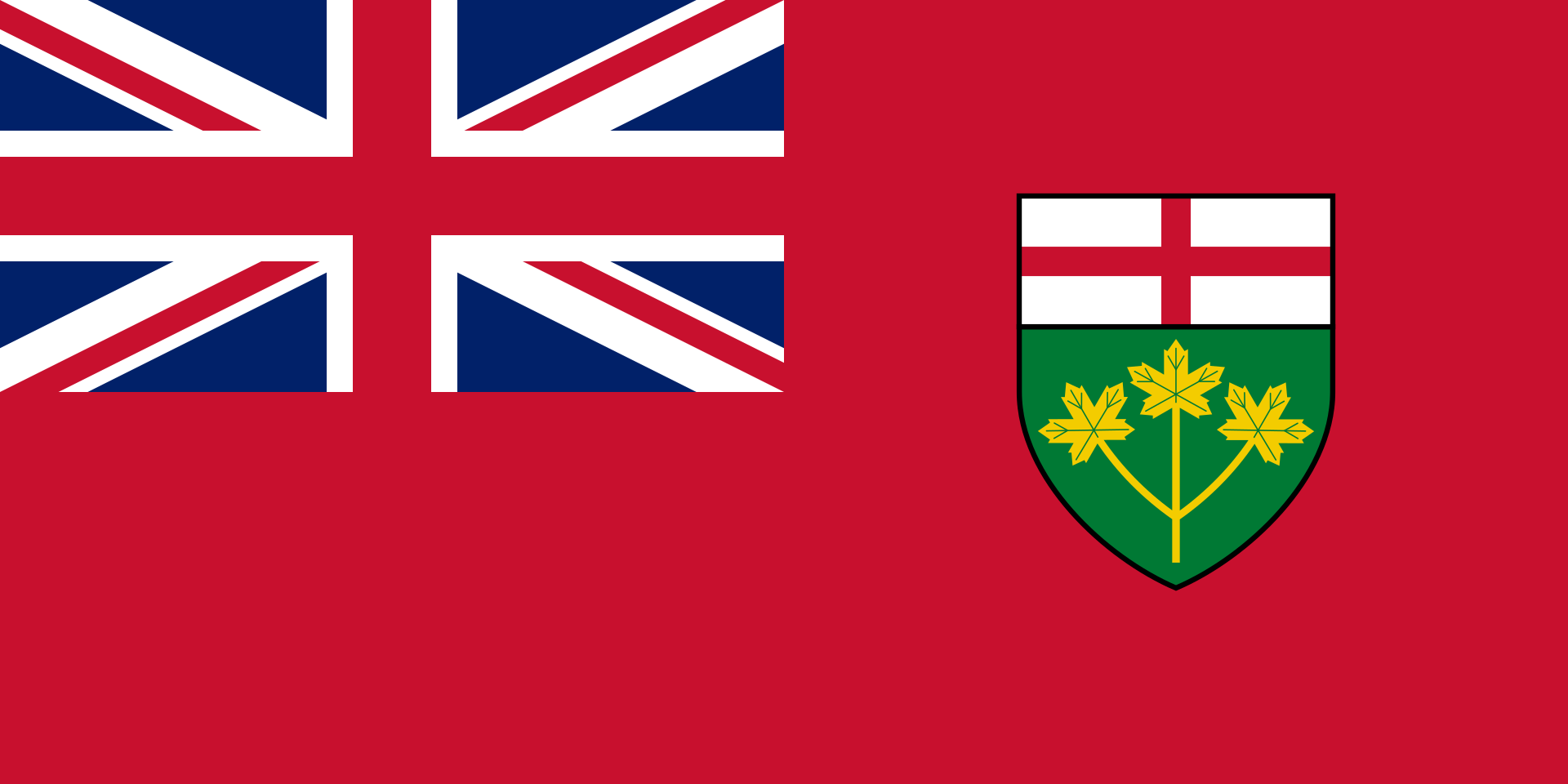 Ontario-ON
 Kentucky-KY
 California-CA
 Arizona-AZ
 Michigan-MI
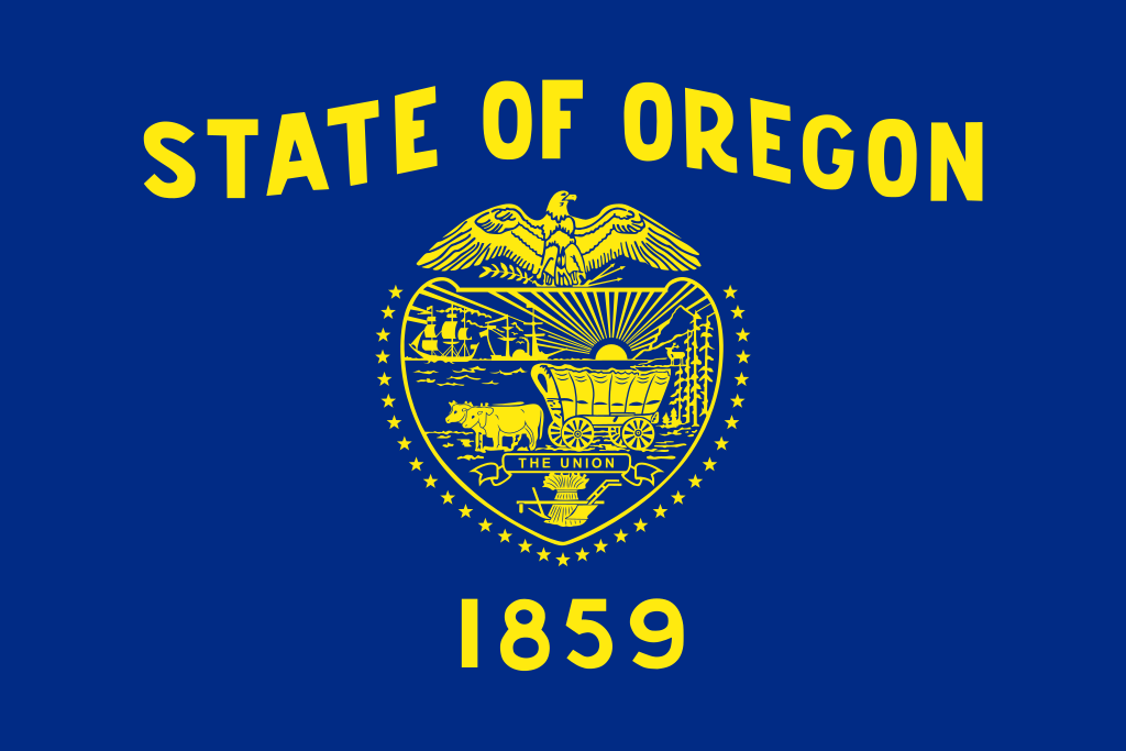 Oregon-OR
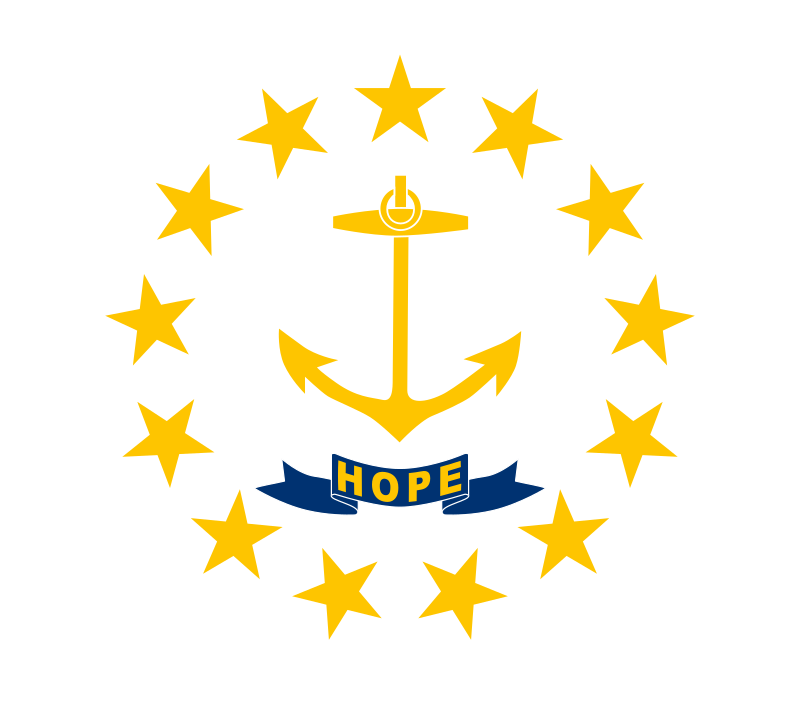 Rhode Island-RI
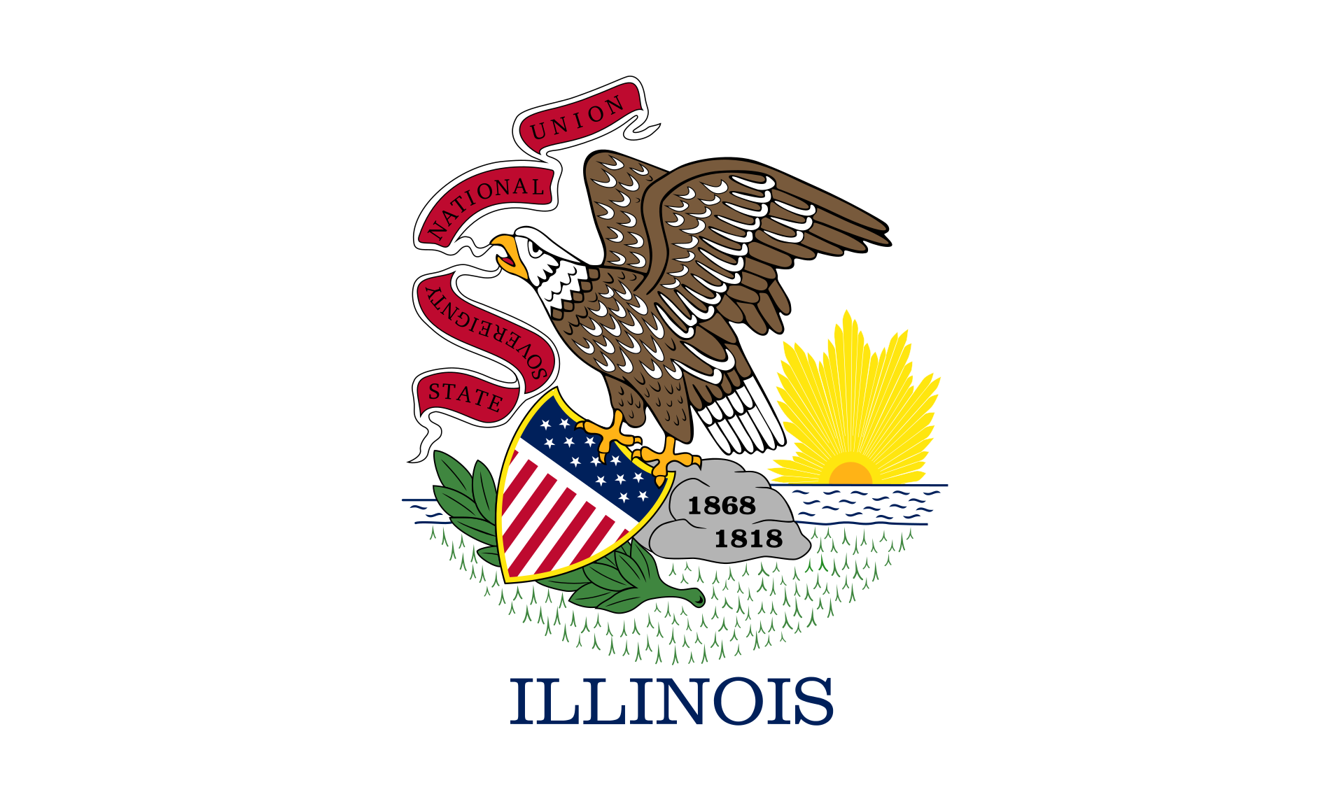 Illinois-IL
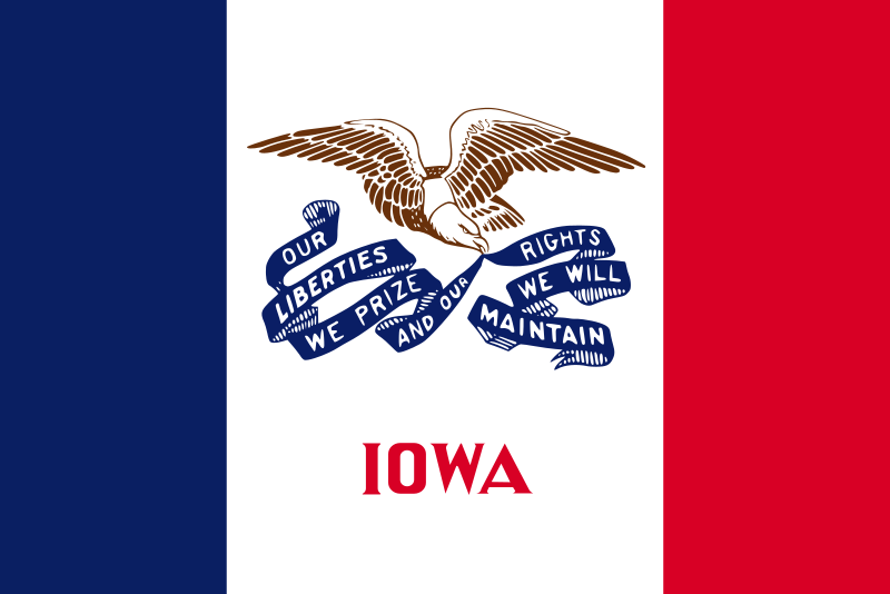 Iowa-IA
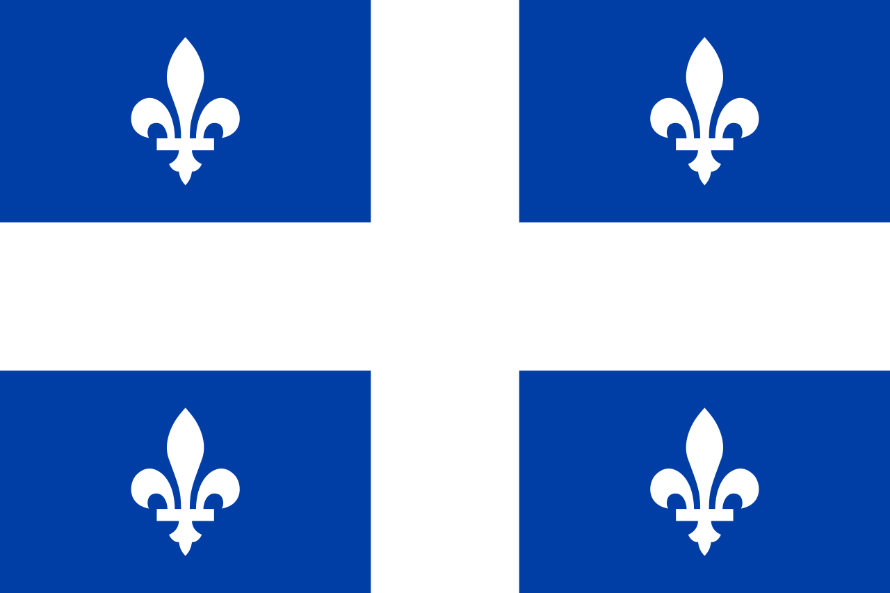 Quebec-QC
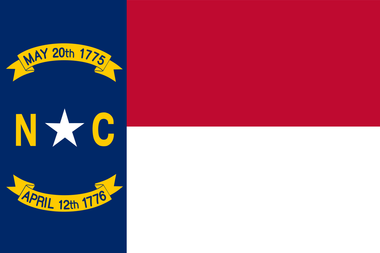 North Carolina-NC