
Deutsch-Chinesische Enzyklopädie, 德汉百科




多伦多[注 1](英语:Toronto)是加拿大安大略省首府,也是加拿大最大的城市,坐落在安大略湖西北岸的南安大略地区。根据2021年的加拿大人口普查,多伦多市人口达2,794,356人,为加拿大最大城市。多伦多市是大多伦多地区的核心地区,也是安大略省南部人口稠密区(称作“金马蹄地区”)的一部分。[9][10][11]都会区有6,202,225名居民,[12]而覆盖范围较广的大多伦多地区则有9,765,188名居民。[10]作为加拿大的经济中心,多伦多是一个世界级城市,[13]也是世界上最大的金融中心之一。[14][15]多伦多在经济上的领先地位在于金融、商业服务、电信、航太、交通运输、媒体、艺术、电影、电视制作、出版、软件、医药研究、教育、旅游、体育等产业。[16][17]多伦多证券交易所是世界第七大交易所,总部设于市内,有多数加拿大公司在这里上市。
多伦多的国际性人口[18]体现出它是前往加拿大移民的重要落脚点。[19]而市内49%的人口是在加拿大以外诞生[20],也造就多伦多成为世上种族最多样化的城市之一。目前多伦多的低犯罪率、洁净的环境、高生活水准、以及对多样文化的包容性,令该市被多个经济学智囊团列为世界上最宜居的城市之一。[21][22]另一方面,多伦多于2006年被列为加拿大生活成本最高的城市。
多伦多(英语/法语:Toronto),是北美洲国家加拿大安大略省首府,加拿大的最大城市。
多伦多坐落在安大略湖西北岸的南安大略地区。根据2012年七月的加拿大人口普查,多伦市人口达2,790,060,为加拿大最大城市。多伦多市是大多伦多地区的心脏地区,也是安大略省南部人口稠密区(称作“金马蹄地区”)的一部分。[1][2][3]城市区有5,132,794名居民。[4]在2011年人口普查中,多伦多人口普查区有5,583,064名居民,而覆盖范围较广的大多伦多地区则有6,054,191名居民。[2]
作为加拿大的经济中心,多伦多是一个世界级城市,[5]也是世界上最大的金融中心之一。[6][7] 多伦多在经济上的领先地位在于金融、商业服务、电信、航太、交通运输、媒体、艺术、电影、电视制作、出版、软件、医药研究、教育、旅游、体育等产业。[8][9]多伦多证券交易所是世界第七大交易所,总部设于市内,有多数加拿大公司在这里上市。
多伦多的国际性人口[10] 体现出它是前往加拿大移民的重要落脚点。[11]而市内49%的人口是在加拿大以外诞生[12],也造就多伦多成为世上种族最多样化的城市之一。目前多伦多的低犯罪率、洁净的环境、高生活水准、以及对多样文化的包容性,令该市被多个经济学智囊团列为世界上最宜居的城市之一。[13][14]另一方面,多伦多于2006年被列为加拿大生活成本最高的城市。[15]
大约1/3的加拿大人居住在距多伦多两小时车程的郊区。加拿大大约1/6的就业机会在该市。
多伦多当地的华侨及华裔人口多达四十万,相当于加拿大全国约百分之一的人口,该城市也是加拿大华人最多的城市。除此之外也有大量世界各地的移民,加拿大安大略省多伦多市的人口统计资料使多伦多成为世界上最多元文化和多种族的城市之一。2016年,该市居民的51.5%属于明显的少数族裔,而2011年这一比例为49.1%,和1981年为13.6%。多伦多还建立了多个社区,例如唐人街,意大利的Corso,小意大利,小印度,希腊城,韩国城,小牙买加,小葡萄牙和朗塞瓦勒,以庆祝该市的多元文化主义的成功。
Toronto (englische Aussprache [təˈɹɒn(t)oʊ̯]; regional auch  [təˈɹɒnə] oder [ˈtɹɒnoʊ̯]) ist mit 2,6 Millionen Einwohnern[2] die größte Stadt Kanadas und die Hauptstadt der Provinz Ontario. Sie liegt im Golden Horseshoe (Goldenes Hufeisen), einer Region mit über 8,1 Millionen Einwohnern, die sich halbkreisförmig um das westliche Ende des Ontariosees bis zu den Niagarafällen erstreckt. Rund ein Drittel der Bevölkerungszunahme des ganzen Landes lebte in den letzten Jahren in diesem Großraum. Die Einwohnerzahl der Metropolregion (Census Metropolitan Area) stieg von 4,1 Millionen im Jahr 1992 auf 5,6 Millionen im Jahr 2011.[3] Die Greater Toronto Area hatte 2010 über 6,2 Millionen Einwohner.[4]
Die Stadt liegt am nordwestlichen Ufer des Ontariosees, dem mit 18.960 km² Fläche[5] kleinsten der fünf Großen Seen. Durch die Eingemeindung einer Reihe von Vorstädten, die bereits mit Toronto verschmolzen waren (Etobicoke, Scarborough, York, East York und North York), wurde Toronto Ende der 1990er Jahre mehrfach vergrößert. Das Zentrum mit dem Einkaufs- und Bankendistrikt befindet sich in der Nähe des Sees. Die Haupteinkaufsstraße ist die Yonge Street. Toronto ist seit ungefähr den 1970er Jahren, nachdem Montreal über Jahrzehnte hinweg diese Rolle zugefallen war, Kanadas Wirtschaftszentrum und weltweit einer der führenden Finanzplätze.
トロント(英語: Toronto、標準音:[təˈɹɒntoʊ]、現地音:[ˈtɹɒnoʊ, təˈɹɒnoʊ])は、カナダのオンタリオ州の州都であり、同国最大の都市である。オンタリオ湖岸の北西に位置し、2016年の統計で人口273万人[1]。
国際影響力の強い世界都市であり、2016年の都市圏人口は624万人[2]。またヒューロン語で「集まる場所」という意味がある。
オンタリオ湖西岸を囲むゴールデン・ホースシュー(Golden Horseshoe)と呼ばれる都市化された地域の人口はおよそ924万人とされ、カナダ随一の金融センターとしてその中心を成している。1834年までの旧名はヨーク(Town of York)。
Toronto is the provincial capital of Ontario and the most populous city in Canada, with an estimated population of 2,956,024 (2018) and an estimated population of 6,341,935 in the Toronto Region (2018.)[14] Located on the shores of the western end of Lake Ontario, Toronto is also the anchor of the Golden Horseshoe, an urban agglomeration of 9,245,438 (2016)[15] that accounts for a significant portion of Canada's economic activity and more than 20% of Canada's population. Toronto is an international centre of business, finance, arts, and culture. Its large population of immigrants from around the globe has also made Toronto one of the most multicultural and cosmopolitan cities in the world.[16][17][18]
People have travelled through and inhabited the Toronto area, located on a broad sloping plateau interspersed with rivers, deep ravines, and urban forest, for more than 10,000 years.[19] After the broadly disputed Toronto Purchase, when the Mississauga surrendered the area to the British Crown,[20] the British established the town of York in 1793 and later designated it as the capital of Upper Canada.[21] During the War of 1812, the town was the site of the Battle of York and suffered heavy damage by American troops.[22] York was renamed and incorporated in 1834 as the city of Toronto. It was designated as the capital of the province of Ontario in 1867 during Canadian Confederation.[23] The city proper has since expanded past its original borders through both annexation and amalgamation to its current area of 630.2 km2 (243.3 sq mi).
The diverse population of Toronto reflects its current and historical role as an important destination for immigrants to Canada.[24][25] More than 50 percent of residents belong to a visible minority population group,[26] and over 200 distinct ethnic origins are represented among its inhabitants.[27] While the majority of Torontonians speak English as their primary language, over 160 languages are spoken in the city.[28]
Toronto is a prominent centre for music,[29] theatre,[30] motion picture production,[31] and television production,[32] and is home to the headquarters of Canada's major national broadcast networks and media outlets.[33] Its varied cultural institutions,[34] which include numerous museums and galleries, festivals and public events, entertainment districts, national historic sites, and sports activities,[35] attract over 43 million tourists each year.[36][37] Toronto is known for its many skyscrapers and high-rise buildings,[38] in particular the tallest free-standing structure in the Western Hemisphere, the CN Tower.[39]
The city is home to the Toronto Stock Exchange, the headquarters of Canada's five largest banks,[40] and the headquarters of many large Canadian and multinational corporations.[41] Its economy is highly diversified with strengths in technology, design, financial services, life sciences, education, arts, fashion, aerospace, environmental innovation, food services, and tourism.[42][43][44]
Toronto (/tɔ.ʁɔ̃.to/1 ; en anglais : /təˈɹɒntoʊ̯/2 Écouter voire localement /təˈɹɒnə/ ou /ˈtɹɒnoʊ̯/ Écouter) est la plus peuplée des villes du Canada et la capitale de la province de l'Ontario. Elle se situe dans le Sud-Est du Canada, sur la rive nord-ouest du lac Ontario. Selon le recensement de 2016, Toronto compte plus de 2,7 millions d'habitants, faisant d'elle la quatrième ville la plus peuplée en Amérique du Nord. Son aire métropolitaine compte 5,9 millions d'habitants, et la mégalopole du Golden Horseshoe, dont elle est le cœur, plus de 8,7 millions d'habitants en 2011, soit le quart de la population canadienne. Ville mondiale, Toronto est le centre bancaire, financier, commercial et artistique du Canada anglophone, et l'une des villes les plus multiculturelles et cosmopolites au monde.
La région de Toronto, située sur un vaste plateau en pente jalonné de rivières, de ravins et de forêts, est habitée depuis plus de 10 000 ans. Après la brève installation d'un fort par les Français puis l’achat contesté de la région au peuple Mississauga par la Couronne britannique, les colons anglais fondent en 1793 la ville d'York, qui devient la capitale du Haut-Canada. Pendant la guerre de 1812, la ville est le théâtre de la bataille d'York et subit de lourds dégâts par les troupes américaines. York est renommée Toronto en 1834. Elle est désignée capitale de la province de l'Ontario en 1867 par la Confédération canadienne. La ville s'est depuis étendue au-delà de ses frontières d'origine, à la suite de plusieurs fusions, jusqu'à atteindre la superficie actuelle de 630,2 km2.
La population particulièrement cosmopolite de Toronto reflète son rôle historique de destination des immigrants au Canada. Plus de 50 % des résidents appartiennent à un groupe de minorités visibles et plus de 200 origines ethniques distinctes sont représentées parmi ses habitants. Bien que la majorité des Torontois parlent l'anglais principalement, plus de 160 langues sont parlées dans la ville.
Toronto est devenu un important centre de musique, théâtre, de production cinématographique et télévisuelle. Elle abrite le siège des principaux réseaux de diffusion et des médias nationaux du Canada. Ses institutions culturelles variées, qui comprennent de nombreux musées et galeries d'art, des festivals et événements publics, des quartiers de divertissement, des lieux historiques nationaux et des activités sportives, attirent plus de 25 millions de touristes chaque année. Toronto est connue pour ses nombreux gratte-ciel, en particulier la plus haute structure autoportante de l' hémisphère occidental, la tour CN.
La ville abrite la Bourse de Toronto, le siège des cinq plus grandes banques du Canada et de nombreuses autres grandes sociétés canadiennes et multinationales, de tous les secteurs économiques. Elle abrite aussi de nombreux établissements d'enseignement supérieur réputés, dont l'université de Toronto qui figure parmi les plus réputées au monde.
Toronto apparaît régulièrement dans les classements des meilleures villes en termes de qualité de vie, malgré un coût de la vie important. Ses habitants s'appellent les Torontois.
Toronto (IPA: [təˈɹɒntoʊ̯]; pronuncia locale: [ˈtrɒnoʊ] oppure [təˈɹɒnə], ascolta[?·info]) è una città dell'estremo Sud-Est del Canada, capoluogo della provincia dell'Ontario e centro più popoloso del Canada con i suoi 3 120 668 abitanti[1] (5 928 040 nell'area metropolitana[2]).
Motore economico del Canada, Toronto è, assieme a Montréal, la città del paese nordamericano più conosciuta nel mondo, seguita da Ottawa. Caratteristica della città è quella di essere una delle più multiculturali nel mondo, con circa il 36% degli abitanti di origine non canadese. Per dare un'idea di ciò basti pensare che il 911 (numero telefonico di emergenza) di Toronto è attrezzato per rispondere in oltre 150 lingue[3]. La seconda più grande comunità, superata da qualche anno da quella cinese, è costituita dagli italiani che hanno dato un enorme contributo allo sviluppo di questo paese. Si stima che le persone di origine italiana residenti a Toronto siano superiori a 500 000. Il primo quartiere dove si insediarono gli italiani fu quello di College, successivamente si spostarono a Saint Clair denominata col nome aggiuntivo di Corso Italia[4] dal 1988.
Toronto è suddivisa in 240 quartieri all'interno dei suoi confini, raggruppati in sei distretti (Old Toronto, East York, Etobicoke, Scarborough, North York e York (dove si trova anche il quartiere di Weston). Nella parte centrale di Toronto (Downtown Toronto) c'è una città sotterranea, chiamata PATH (in inglese: il sentiero o il percorso), costituita da una rete di collegamenti che mettono in collegamento i grattacieli della città. Il percorso è lungo più di 30 km. Secondo il Guinness dei primati, con i suoi 371600 m² di estensione, il PATH è più esteso centro commerciale sotterraneo del mondo.[5]
I residenti considerano questi 27 km di strade sotterranee come parte della città stessa, come se la città iniziasse non dal suolo, ma dal piano -3. Venne creata agli inizi degli anni sessanta perché in inverno, spazzata da venti nordici, Toronto è molto fredda in rapporto alla latitudine, mentre sotto ci si può muovere in abiti primaverili, sulle strade superiori, durante straordinarie irruzioni gelide ci possono essere temperature di −25/−30 °C al primo mattino o di sera. Di notte si può scendere un po' più in basso ed in tali casi le massime rimangono spesso a -20 sotto lo zero. Ovviamente il traffico automobilistico convenzionale è bandito nella città sotterranea, gli spostamenti sono previsti a piedi o con mezzi per disabili, ma il path ha numerosi punti di contatto con la viabilità esterna (parcheggi) o, molto più frequentemente, con una fitta rete di stazioni del trasporto pubblico di superficie o sotterraneo (subway).
Per muoversi nella parte sotterranea è molto importante fare riferimento a elementi di identificazione degli incroci (come elementi architettonici, facciate di banche, negozi tipici, ecc.), dato che non sempre il percorso sotterraneo (pedonale) corrisponde a quello (stradale) di superficie; o meglio, se non si è pratici, bisogna usare la mappa. La città sotterranea è completamente attrezzata come una città comune: ci sono banche, uffici postali, locali pubblici, ristoranti, uffici e supermercati. Le maggiori istituzioni (stazioni ferroviarie, aziende pubbliche, aziende commerciali, ecc.) hanno accesso multiplo: di superficie e sotterraneo.
Toronto (pronunciación en inglés: /tʲəˈɹɑntʲoʊ/ (![]() escuchar), localmente /tʲəˈɹɑnoʊ/, /ˈtʲɹɑnoʊ/) es la capital de la provincia de Ontario3 y, con una población de 2 615 060 habs.4 es la ciudad más grande de Canadá,5 además del centro financiero de dicho país.
escuchar), localmente /tʲəˈɹɑnoʊ/, /ˈtʲɹɑnoʊ/) es la capital de la provincia de Ontario3 y, con una población de 2 615 060 habs.4 es la ciudad más grande de Canadá,5 además del centro financiero de dicho país.
Localizada en la orilla noroeste del lago Ontario,6 es la quinta ciudad más grande de Norteamérica.7 Toronto se encuentra en el corazón del Área Metropolitana de Toronto (Greater Toronto Area en inglés y abreviado como GTA), la mayor área metropolitana de Canadá, y es parte de una región densamente poblada en el centro-sur de Ontario conocida como Golden Horseshoe (Herradura Dorada), donde residen ocho millones de habitantes.8910
Al ser la capital económica de Canadá, Toronto es considerada una ciudad global y una de las principales ciudades financieras del mundo.11 Lidera los sectores económicos de finanzas, servicios empresariales, telecomunicaciones, transporte, medios de comunicación, arte, cine, investigación médica, educación, y turismo de Canadá.1213 El Toronto Stock Exchange es la mayor bolsa de valores del país y la séptima del mundo.12
Toronto es famosa por la Torre CN, con 553 metros de altura. La ciudad se considera el centro de la cultura canadiense anglófona y es la anfitriona de muchas celebraciones nacionales.
La población de Toronto es cosmopolita,1415 y es un importante destino para muchos inmigrantes a Canadá.16 Toronto es la mayor ciudad del mundo en porcentaje de residentes no nacidos en el propio país; sobre un 49 % de los habitantes de la ciudad no ha nacido en Canadá.141516 Debido al bajo índice de criminalidad,17 el cuidado medio ambiente y el alto nivel de vida, Toronto, es considerada con asiduidad una de las ciudades mejor habitables del mundo.1819 Además, en 2006 fue clasificada como la ciudad más cara de Canadá.20 Los nacidos en Toronto reciben el gentilicio de torontonianos.21
En enero de 2005, Toronto fue escogida por el gobierno canadiense como una de las capitales culturales de Canadá. Toronto posee una de las mejores calidades de vida de América del Norte, y es considerada por muchos como una de las mejores metrópolis del mundo para vivir.22 Es una de las ciudades más seguras de América —su tasa de criminalidad es menor que la de cualquier gran ciudad del continente, y una de las menores de Canadá.23
En la ciudad vecina de Mississauga está el Aeropuerto Internacional Toronto Pearson. Además, en 'las islas de Toronto' dentro de la ciudad está el Billy Bishop Toronto City Airport, que es más pequeño.
Торо́нто (англ. Toronto [təˈrɒntoʊ], местн. [təˈrɒnoʊ], [ˈtrɒnoʊ], [-nə]) — крупнейший город Канады, административный центр провинции Онтарио. Население — 2 731 571 чел. (2016); вместе с городами Миссиссога, Брамптон, Маркем и другими образует агломерацию Большой Торонто с населением 5928 тыс. жителей.
Торонто является частью «золотой подковы» — густонаселённого региона вокруг западной части озера Онтарио с населением около 7 млн человек. Приблизительно одна треть всего населения Канады живёт в радиусе 500 км от Торонто. Около шестой части всех рабочих мест Канады находятся в пределах городской черты.
Город Торонто известен также как «экономический двигатель» Канады, считается одним из ведущих мегаполисов мира и имеет большой вес как в регионе, так и на государственном и международном уровне. В ежегодном рейтинге Global Liveability Ranking журнала The Economist, оценивающем совокупное качество жизни, Торонто занимает четвёртое место в мире среди 140 городов — участников рейтинга[1].
В Торонто располагается главный офис Всемирного конгресса украинцев. В июне 2010 года в Торонто прошла встреча глав государств и правительств «Большой двадцатки».
К северо-востоку от Торонто в городе Пикеринг находится атомная электростанция АЭС Пикеринг с восемью ядерными реакторами.

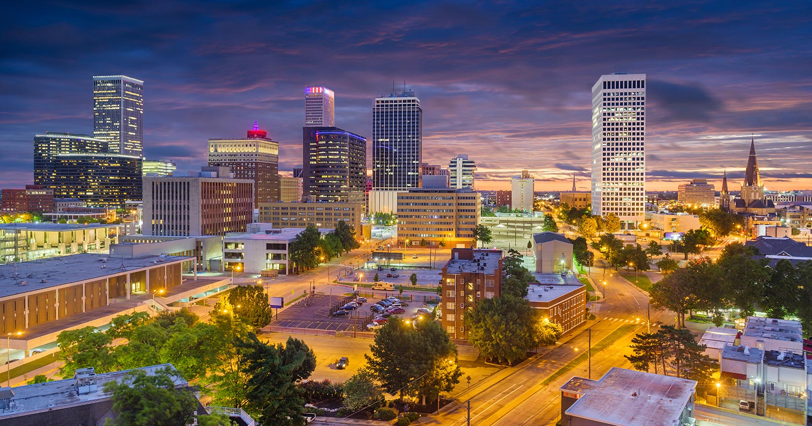

 British Columbia-BC

 FIFA Fussball-Weltmeisterschaft 2026
 Women's Soccer World Cup 2015

 Geography

 Geography
 *World's Most Livable Cities
 ITU World Championship Series
 Canada
 Winter Olympics

 Ski vacation

 Sport
Sport
 Triathlon

 Important port

一般所说的”温哥华”泛指”大温地区”(请参考温哥华概况介绍)。温哥华市中心位于一个半岛上,主要分成几块区域:西尾区与水滨(West End & Waterfront)、耶鲁镇(Yaletown)、盖士镇与华埠(Gastown & Chinatown)。市中心往南的温哥华市以Carrall街与Ontario街分成温西(West Side)与温东(East Side)。外地人常把温西与西温哥华(West Vancouver)搞混,后者是温哥华北岸的一个城市,从温哥华市中心向北跨越狮门大桥(Lions Gate Bridge)即可抵达。
西尾区(West End)在市中心西端,北与史丹利公园、南与市中心商业区紧邻,是由整片新兴的高级住宅大楼与罗布森街(Robson Street)购物区、各国风味餐厅、海滩、游艇码头等所组成的热闹区域。到温哥华旅游如果不自行开车,在西尾区住宿是明智选择。
耶鲁镇(Yaletown)是位于市中心东缘的新兴小区,这里有许多杂错的红砖仓库改建成精致典雅的新购物娱乐区与艺术家工作室。一栋栋平房红砖墙的建筑 及巷道上的石板路,将素有“Funky Town"之称的耶鲁镇特色表露无遗。耶鲁镇有电影制片公司、美发沙龙、室内设计工作室、小型设计师家具店、古董店、精品服饰店,加上各种特色美食与露天 咖啡座、小酒馆,让耶鲁镇的雅痞色彩十足,成为温哥华时尚一族抢着进驻的地区。
盖士镇(Gastown)是温哥华的发源地,是个以2条横街和3条直街组成的三角地带。卑诗省政府将盖士镇规划程成为独特的观光区与历史维护区。如今这里 保存完好的19世纪初维多利亚式建筑、铺满圆石的悠长街道、别致的露天咖啡屋,复古的路灯及一座座低矮的历史建筑,行走其间宛如时空错置。也是游客来温哥 华必至之处。(Quelle:http://www.usatrip.cn/jdjs/jdjs_Vancouver.asp)
温哥华市(City of Vancouver)是加拿大不列颠哥伦比亚省低陆平原地区一沿岸城市。根据2016年加拿大统计局人口普查,温哥华市人口有631,486人,而大温哥华地区的人口为246万,[1]是不列颠哥伦比亚省以至加拿大西部最大的都会区,以及全国第三大都会区;市内人口则在全国排行第八。[2][3]
温哥华以英国航海家乔治·温哥华命名,欧洲人抵达温哥华一带后,区内经济早期主要依赖于林木业。加拿大太平洋铁路于1887年延至温哥华后,温哥华成为北美西岸水陆路交通的主要枢纽之一,更构成远东地区、加拿大东部和英国之间贸易往来的重要一环。[4][5]温哥华港现时是加拿大最大和最繁忙的港口,以货物总吨数计也是北美第四大港口。[6]此外,温哥华的自然环境深受游客欢迎,令旅游业成为市内第二大经济支柱。[7]温哥华也是北美第三大制片中心,有“北方好莱坞”之称。[8][9]也是20世纪后,与美国旧金山同为华人在北美最集中的地区。
温哥华近年经常在各项世界最佳居住城市的调查中名列前茅。[10][11]温哥华亦曾于2010年与125公里以外的惠斯勒联手举办冬季奥运会和冬季残奥会。[12]此外温哥华还曾举办2015年女子世界杯足球赛,决赛场地即设在不列颠哥伦比亚体育馆。
Vancouver (englische Aussprache [væŋˈkuːvɚ] oder [vænˈkuːvɚ]) ist eine Stadt im Südwesten von British Columbia an der Westküste Kanadas. Sie liegt zwischen der Straße von Georgia und den Coast Mountains, rund 45 Kilometer nordwestlich der Grenze zu den USA. Die Stadt gehört zum Regionaldistrikt Metro Vancouver, der mit 2.463.431 Einwohnern[1] die größte Metropolregion Westkanadas und nach Toronto und Montreal die drittgrößte des Landes bildet. Die Bevölkerungszahl der eigentlichen Stadt Vancouver beträgt 631.486.[2] Benannt ist die Stadt nach dem britischen Kapitän George Vancouver, der die Region Ende des 18. Jahrhunderts erforschte und vermaß. Der Name Vancouver selbst stammt vom niederländischen „van Coevorden“, abgeleitet von der Stadt Coevorden.
Die Stadt entstand in den 1860er Jahren als Folge der Einwanderungswelle während des Fraser-Canyon-Goldrauschs und entwickelte sich nach der Eröffnung der transkontinentalen Eisenbahn im Jahr 1887 innerhalb weniger Jahrzehnte von einer kleinen Sägewerkssiedlung zu einer Metropole. Die Wirtschaft basierte zu Beginn auf der Ausbeutung der natürlichen Ressourcen von British Columbia: Forstwirtschaft, Bergbau, Fischerei und Landwirtschaft. Der Hafen Vancouver erlangte nach der Eröffnung des Panamakanals internationale Bedeutung. Er ist heute der größte in Kanada und exportiert mehr Güter als jeder andere Hafen in Nordamerika.
Vancouver wandelte sich mit der Zeit zu einem Dienstleistungszentrum und (insbesondere nach der Weltausstellung Expo 86) zu einem Reiseziel für Touristen. Die Stadt ist darüber hinaus hinter Los Angeles und New York der drittwichtigste Standort der nordamerikanischen Filmindustrie und wird daher auch als „Hollywood North“ bezeichnet. Die Finanzwirtschaft spielt ebenfalls eine bedeutende Rolle. In einer Rangliste der wichtigsten Finanzzentren weltweit belegt Vancouver den 15. Platz (Stand: 2018).[3]
Vancouver veranstaltete vom 12. bis 28. Februar 2010 die XXI. Olympischen Winterspiele. Einige Wettbewerbe der Spiele fanden im 125 Kilometer von Vancouver entfernten Whistler statt. Nach Montreal im Jahr 1976 und Calgary im Jahr 1988 war Vancouver die dritte kanadische Stadt, die Olympische Spiele veranstaltet hat.
バンクーバー(英語: Vancouver)は、カナダ連邦ブリティッシュコロンビア州南西部にある都市。同州最大の都市である。ヴァンクーヴァーと表記されることもある[3]。
バンクーバーを中心とする都市圏人口は210万人とカナダ国内第3位の都市圏を形成している[4]。バンクーバー市のみの人口では同国内で第8位の約64万人[5]である。民族や言語が多様で、人口のおよそ52%は第一言語が同州の公用語にあたる英語ではない[6]。北米有数の世界都市であり、2016年に発表された「世界の都市総合力ランキング」では、世界28位と評価された[7]。
1867年に製材所ができ、これらを中心とする入植地であったギャスタウンは発展を続け、グランビルとして町は拡大した。東カナダから続く鉄道の終着駅が町まで敷かれることになった1886年に町はバンクーバーとして改名され市政となる。
林業が同市最大の産業で、都市部ながら自然に囲まれた都市として知られていることから、観光業が発達しており、同市第2の産業となっている[8]。同市にあるメトロバンクーバー港は同国最大の港であり、北米においても積載量で第4位の規模を持つ[9]。同市および隣のバーナビー市には、主要な各映画製作会社が拠点を置いており、ロサンゼルス、ニューヨークに続く北米第3位の規模となる映画製作拠点となっている。このため、通称ハリウッドノースとも呼ばれる[10][11]。国際会議や国際競技が数多く開催されており、2010年には第21回冬季オリンピック(バンクーバーオリンピック)が開催された。
Vancouver (/vænˈkuːvər/ ( listen)) is a coastal seaport city in western Canada, located in the Lower Mainland region of British Columbia. As the most populous city in the province, the 2016 census recorded 631,486 people in the city, up from 603,502 in 2011. The Greater Vancouver area had a population of 2,463,431 in 2016, making it the third-largest metropolitan area in Canada. Vancouver has the highest population density in Canada with over 5,400 people per square kilometre,[5][6] which makes it the fifth-most densely populated city with over 250,000 residents in North America behind New York City, Guadalajara, San Francisco,[7] and Mexico City according to the 2011 census. Vancouver is one of the most ethnically and linguistically diverse cities in Canada according to that census; 52% of its residents have a first language other than English.[8][9] Roughly 30% of the city's inhabitants are of Chinese heritage.[10] Vancouver is classed as a Beta global city.
Vancouver is consistently named as one of the top five worldwide cities for livability and quality of life,[11][12] and the Economist Intelligence Unit acknowledged it as the first city ranked among the top-ten of the world's most well-living cities[13] for five consecutive years.[14] Vancouver has hosted many international conferences and events, including the 1954 British Empire and Commonwealth Games, UN Habitat I, Expo 86, the World Police and Fire Games in 1989 and 2009; and the 2010 Winter Olympics and Paralympics which were held in Vancouver and Whistler, a resort community 125 km (78 mi) north of the city.[15] In 2014, following thirty years in California, the TED conference made Vancouver its indefinite home. Several matches of the 2015 FIFA Women's World Cup were played in Vancouver, including the final at BC Place.[16]
The original settlement, named Gastown, grew up on clearcuts on the west edge of the Hastings Mill logging sawmill's property, where a makeshift tavern had been set up on a plank between two stumps and the proprietor, Gassy Jack, persuaded the curious millworkers to build him a tavern, on July 1, 1867. From that first enterprise, other stores and some hotels quickly appeared along the waterfront to the west. Gastown became formally laid out as a registered townsite dubbed Granville, B.I. ("B.I" standing for "Burrard Inlet"). As part of the land and political deal whereby the area of the townsite was made the railhead of the Canadian Pacific Railway (CPR), it was renamed "Vancouver" and incorporated shortly thereafter as a city, in 1886. By 1887, the Canadian Pacific transcontinental railway was extended westward to the city to take advantage of its large natural seaport to the Pacific Ocean, which soon became a vital link in a trade route between the Orient / East Asia, Eastern Canada, and Europe.[17][18] As of 2014, Port Metro Vancouver is the third-largest port by tonnage in the Americas (recently displacing New York City), 27th in the world,[19] the busiest and largest in Canada, and the most diversified port in North America.[20] While forestry remains its largest industry, Vancouver is well known as an urban centre surrounded by nature, making tourism its second-largest industry.[21]
Major film production studios in Vancouver and nearby Burnaby have turned Greater Vancouver and nearby areas into one of the largest film production centres in North America,[22][23] earning it the nickname "Hollywood North".[24][25][26]
Vancouver /vãkuvaɛ̯ʁ/a Écouter ou /vɑ̃kuvɛʁ/b (en anglais : /væŋˈkuvɚ/c Écouter) est une cité1 portuaire du pourtour du Pacifique située dans les basses-terres continentales de la province de Colombie-Britannique, au Canada. Avec 631 486 habitants selon le recensement du Canada de 2016, elle est la huitième plus grande municipalité canadienne3. Son agglomération de 2 463 431 est la troisième aire urbaine du pays, et la plus peuplée de l'Ouest canadien. Vancouver est une des villes les plus cosmopolites du Canada, 52 % des résidents ont une autre langue maternelle que l'anglais4. Vancouver est considérée comme une ville mondiale de classe beta. La superficie de Vancouver est de 114,97 km2, donnant une densité de population de 5 493 au kilomètre carré, faisant d'elle la municipalité canadienne la plus densément peuplée et la quatrième en Amérique du Nord, après New York, San Francisco et Mexico5. Elle est la vingt-troisième ville la plus peuplée d'Amérique du Nord6.
Le premier établissement, nommé Gastown, s'est développé autour d'une scierie appelé Hastings Mills, en 1867. Le site fut renommé Vancouver et incorporé comme cité en 1886. En 1887, le chemin de fer transcontinental a été étendu jusqu'à elle pour profiter de son grand port naturel, qui est rapidement devenu un maillon essentiel d'une route commerciale entre la côte est du Canada, l'Orient et l'Europe7,8. En 2009, Port Metro Vancouver est le port le plus grand et le plus achalandé du Canada, et le plus diversifié d'Amérique du Nord9. Même si l'exploitation forestière demeure sa plus grande industrie, Vancouver est réputée pour être un centre urbain entouré par la nature, faisant du tourisme sa deuxième industrie10. Les studios de production cinématographique de Vancouver et de Burnaby ont fait de la métropole l'un des plus grands centres cinématographiques en Amérique du Nord11,12, ce qui lui a valu le surnom de Hollywood North13,14,15.
Vancouver est régulièrement citée comme l'une des cinq meilleures villes au monde pour sa qualité de vie16,17, et l'Economist Intelligence Unit l'a classée parmi les dix villes les plus agréables durant cinq années consécutives18,19. Vancouver fut l'hôte de nombreux évènements internationaux, comme les Jeux de l'Empire britannique et du Commonwealth de 1954, la conférence Habitat I par l'Organisation des Nations unies en 1976, l'Exposition internationale de 1986 et les Jeux olympiques d'hiver de 201020. En 2015, elle a accueilli la finale de la Coupe du monde féminine de football21. La ville accueillera en 2018 le Congrès ornithologique international.
Vancouver (AFI: [vanˈkuver][1]) è una città canadese, sulla costa Pacifica della provincia canadese della Columbia Britannica (British Columbia). È situata nella parte meridionale della provincia e rappresenta uno dei maggiori porti dell'Oceano Pacifico. È delimitata dallo Stretto di Georgia (Georgia Strait), dal fiume Fraser, e dalla catena montuosa delle Montagne Costiere. Il nome è in onore del capitano George Vancouver, esploratore britannico.
La popolazione della città è di 603 502 abitanti, mentre l'area urbana ne conta 2 135 201. Vancouver fa parte della regione metropolitana, conosciuta come la "Greater Vancouver Regional District" (GVRD) o Metro Vancouver, nella quale vivono 2 463 700 (stima del 2012)[2]. Questo la rende la più grande area metropolitana nel Canada occidentale, e la terza più grande nel paese. Come in buona parte del Canada, anche Vancouver etnicamente è molto diversificata, basti pensare che il 52% dei residenti[3][4] della città e il 43% dell'area metropolitana hanno come prima lingua un idioma diverso dall'inglese[5].
La popolazione metropolitana è proiettata a raggiungere i 3 milioni di abitanti entro il 2021[6]. La densità di popolazione è tra le più alte del Nord America, e la pone al quarto posto dopo New York, San Francisco e Città del Messico. Il trend porta a stimare che possa raggiungere il secondo posto entro il 2021[7].
L'economia di Vancouver ha tradizionalmente fatto leva sulle risorse della Columbia Britannica: forestali, minerarie, pesca e agricoltura. Ma tuttavia è andata diversificandosi nel tempo, ed oggi Vancouver ha un'importante e vitale industria nel settore dei servizi e del turismo. La città è diventata il terzo più grande polo di produzione cinematografico del Nord America dopo Los Angeles e New York, tanto da guadagnarsi il soprannome di Hollywood del Nord[8][9][10]. Vancouver ha avuto un'espansione nell'industria dell'high-tech, in particolare nello sviluppo dei videogiochi.
Vancouver è costantemente classificata fra le prime tre città più vivibili del mondo[11][12][13]. Secondo il rapporto 2010 della Mercer Human Resource Consulting, ad esempio, Vancouver è considerata la prima città al mondo per qualità della vita. Nel 2007 Vancouver era la seconda città più cara del Canada dopo Toronto e la 89ª a livello globale.
Nel 2010 Vancouver, insieme a Whistler, situata 125 km a nord della città, ha ospitato i Giochi olimpici invernali e i Giochi Paralimpici invernali.
Vancouver (en inglés:  /væŋ'ku:vɚ/ (?·i), en español /baŋ'kuβ̞eɾ/) es una ciudad de la costa pacífica de Canadá, ubicada en el suroeste de la provincia de Columbia Británica, entre el estrecho de Georgia y las Montañas Costeras. La ciudad fue llamada así en honor del capitán George Vancouver, un explorador inglés.
Es parte del área metropolitana del Distrito Regional del Gran Vancouver, el cual, con una población de 2 313 328 habitantes (2011),1 constituye el área metropolitana más grande del oeste canadiense y la tercera en el país después de Toronto y Montreal.2 Vancouver en sí mismo cuenta con 603 502 habitantes.1 El gentilicio utilizado para referirse a los residentes de Vancouver es vancuverita o vancouverense,3 (en inglés Vancouverite).
Vancouver, en los últimos años, siempre ha sido considerada como una de las cinco ciudades con mejor calidad de vida en el mundo.4567 En 2013, obtuvo el puesto 21º entre las ciudades en que es más caro vivir y resultó ser la más cara de Norteamérica. 8 También es una de las ciudades más seguras del mundo, debido a sus bajísimas tasas de criminalidad.
Los Juegos Olímpicos y Paralímpicos de invierno de 2010 se llevaron a cabo en Vancouver y en la cercana localidad de Whistler.91011
Ванку́вер (англ. Vancouver) — город на западе Канады, крупнейший населённый пункт провинции Британская Колумбия и третий по величине в Канаде. В 2010 году в Ванкувере проводились XXI зимние Олимпийские игры. Исследовательская группа Economist Intelligence Unit (EIU) британского издания The Economist трижды — в 2005, 2007, 2009 годах — присваивала Ванкуверу звание «лучшего города Земли»[2][3][4].
Население самого города — 631 486 чел. (на 2016 год). В агломерации Большой Ванкувер (англ.)русск. проживает свыше 2 463 431 чел. (на 2016 год) — это третья по величине агломерация в Канаде. Ванкувер является наиболее этнически и лингвистически разнообразным городом страны — 52 % его жителей считают своим родным языком не английский[5].
 FIFA Fussball-Weltmeisterschaft 1994

 Financial
 ***Global Financial Center
 Women's Soccer World Cup 2003

 History
 N 2000 - 2100 AD

 History
 M 1500 - 2000 AD
 United States

 Washington, D.C.

华盛顿哥伦比亚特区(英语:Washington, D.C.),是美国的首都,原称哥伦比亚特区[注 1](District of Columbia,缩写为 D.C.),以及简称华盛顿(Washington)、特区(the District)等。中文通常简称华府。华盛顿哥伦比亚特区是大多数美国联邦政府机关、与各国驻美大使馆的所在地,也是世界银行、国际货币基金、美洲国家组织等国际组织总部的所在地,并拥有为数众多的博物馆与文化史迹。哥伦比亚特区是美国最富裕、财富高度集中的地区;该地区2015年的人均生产总值为181,185美元,冠绝全美。
1776年美国独立时的首都是费城,之后因独立战争和国家新立而屡有变迁,到1785年开始纽约被定为美国的首都。1790年7月1日,国会通过《首都选址法》,决定将首都从纽约迁至波多马克河和安那考斯迪亚河汇合处附近;但完成正式迁都前先由费城暂代首都。1800年,美国联邦政府部门从临时首都的费城迁往建设完成的华盛顿,华盛顿开始作为美国首都正式运作至今[3]。华盛顿哥伦比亚特区实际上是由美国国会直接管辖的联邦地区,因此不属于美国的任何州份。
华盛顿哥伦比亚特区位于美国东岸的中大西洋地区,属马里兰州和弗吉尼亚州的交界处,两州界河波多马克河由西北向东南流贯特区,形成特区西面的天然界限。成立之初,哥伦比亚特区是一个边长10英里(16千米)的长方形区域,不仅包括了特区现在的全部范围,还包括波多马克河西岸弗吉尼亚州亚历山德里亚县,即今日的阿灵顿县以及亚历山德里亚市。特区成立后不久,西岸的居民就因为国会过度重视东岸以及蓄奴等问题,发起了回归弗吉尼亚的运动,经他们多次请愿,美国国会于1846年7月9日通过法案,并经弗吉尼亚人民大会批准,将波多马克河南岸的土地交还南方的弗吉尼亚州。特区设立早期,波多马克河北岸有乔治城镇、华盛顿市及华盛顿县三个分开的行政区划;其中建立于1791年的华盛顿市乃为彰显乔治·华盛顿对美国建国的贡献而命名,后来发展为特区中的核心城市。依据一项1871年的立法,前述三区于1878年合并为华盛顿市,而联邦管辖的特区及华盛顿市地方政府从此辖区重叠,因此产生今日使用的“华盛顿哥伦比亚特区”合称。
Der District of Columbia oder Washington, D.C. [ˈwɔʃɪŋtn̩] ist Bundesdistrikt, Regierungssitz und seit 1800 die Hauptstadt der Vereinigten Staaten. Der Distrikt ist kein Bundesstaat und gehört auch zu keinem, er ist vielmehr dem Kongress der Vereinigten Staaten direkt unterstellt. Trotz Namensgleichheit mit dem Bundesstaat Washington wird Washington, D.C. im deutschen Sprachraum meist nur „Washington“ genannt. D.C. steht dabei für District of Columbia.
Bei der Volkszählung 2010 hatte Washington, D.C. 601.723 Einwohner.[1] Das United States Census Bureau schätzte die Einwohnerzahl zum 1. Juli 2015 auf 672.228 Einwohner, nach einem stetigen Abfall der Bevölkerung seit 1950 der erste größere Zuwachs.[2] Der Großraum Washington[3] hatte 5.582.170 Einwohner. Zusammen mit dem benachbarten Großraum Baltimore hatte die Region laut Zensus insgesamt 8.572.971 Einwohner.[4]
Mit dem Weißen Haus als Amts- und Wohnsitz des Präsidenten und dem Kapitol, das den Kongress (bestehend aus Senat und Repräsentantenhaus) beherbergt, sowie dem Obersten Gerichtshof befinden sich die Spitzen aller drei verfassungsmäßigen Gewalten in der Stadt. Washington ist darüber hinaus Sitz des Internationalen Währungsfonds, der Weltbank und der Organisation Amerikanischer Staaten.
ワシントンD.C.(ワシントン・ディーシー、英: Washington, D.C.)は
同国東海岸、メリーランド州とヴァージニア州に挟まれたポトマック川河畔に位置する。
現代の主要都市としては狭隘で人口もさほど多くないが、超大国の政府所在地として国際的に強大な政治的影響力を保持する世界都市であり、また金融センターとしても高い重要性を持つ。首都としての機能を果たすべく設計された、計画都市である[† 1]。
Washington, D.C., formally the District of Columbia and commonly referred to as Washington or D.C., is the capital of the United States of America.[4] Founded after the American Revolution as the seat of government of the newly independent country, Washington was named after George Washington, first President of the United States and Founding Father.[5] Washington is the principal city of the Washington metropolitan area, which has a population of 6,131,977.[6] As the seat of the United States federal government and several international organizations, the city is an important world political capital.[7] Washington is one of the most visited cities in the world, with more than 20 million annual tourists.[8][9]
The signing of the Residence Act on July 16, 1790, approved the creation of a capital district located along the Potomac River on the country's East Coast. The U.S. Constitution provided for a federal district under the exclusive jurisdiction of the Congress and the District is therefore not a part of any state. The states of Maryland and Virginia each donated land to form the federal district, which included the pre-existing settlements of Georgetown and Alexandria. Named in honor of President George Washington, the City of Washington was founded in 1791 to serve as the new national capital. In 1846, Congress returned the land originally ceded by Virginia; in 1871, it created a single municipal government for the remaining portion of the District.
Washington had an estimated population of 693,972 as of July 2017, making it the 20th largest American city by population. Commuters from the surrounding Maryland and Virginia suburbs raise the city's daytime population to more than one million during the workweek. The Washington metropolitan area, of which the District is the principal city, has a population of over 6 million, the sixth-largest metropolitan statistical area in the country.
All three branches of the U.S. federal government are centered in the District: U.S. Congress (legislative), President (executive), and the U.S. Supreme Court (judicial). Washington is home to many national monuments and museums, which are primarily situated on or around the National Mall. The city hosts 177 foreign embassies as well as the headquarters of many international organizations, trade unions, non-profit, lobbying groups, and professional associations, including the Organization of American States, AARP, the National Geographic Society, the Human Rights Campaign, the International Finance Corporation, and the American Red Cross.
A locally elected mayor and a 13‑member council have governed the District since 1973. However, Congress maintains supreme authority over the city and may overturn local laws. D.C. residents elect a non-voting, at-large congressional delegate to the House of Representatives, but the District has no representation in the Senate. The District receives three electoral votes in presidential elections as permitted by the Twenty-third Amendment to the United States Constitution, ratified in 1961.
Washington, dans le district de Columbia (en anglais : Washington, District of Columbia), souvent appelée Washington, D.C., The District, ou simplement D.C. (pour éviter la confusion avec l'État de Washington), est une ville indépendante américaine, capitale des États-Unis. Selon les dernières estimations (2013), elle compte 646 449 habitants intra-muros sur une superficie de 177 km2 ; son aire urbaine en compte environ 5,8 millions, la septième des États-Unis.
En tant que capitale fédérale, elle ne fait pas partie des cinquante États de l'Union et dépend directement du gouvernement fédéral. À ce titre, la ville est le siège de nombreuses institutions américaines, telles que la Maison-Blanche, résidence officielle du président ; le Capitole, siège du Congrès (constitué de ses deux chambres : celle des représentants et le Sénat), ainsi que le siège de la Banque mondiale (BM), de la Cour suprême et d'autres organismes fédéraux, comme la Réserve fédérale des États-Unis (Fed). Elle accueille en outre 176 ambassades et représentations diplomatiques.
Washington est créée à la suite de la signature du Residence Act en 1790, qui prévoit la création d'une capitale fédérale. Elle est fondée en janvier 1791, sur les rives du fleuve Potomac, à proximité des villes de Georgetown et d'Alexandria. Nommée en hommage au premier président des États-Unis, George Washington, elle est construite ex nihilo selon un plan hippodamien de l'ingénieur franco-américain Pierre Charles L'Enfant. L'urbanisme diffère de la plupart des autres villes américaines car la construction de gratte-ciel y est interdite : l'architecture de Washington est marquée par une faible hauteur et un héritage de l'architecture coloniale. Peu peuplée durant la première moitié du XIXe siècle, ce n'est qu'à la fin de la guerre de Sécession qu'elle acquiert sa légitimité en tant que capitale, devenant le symbole de l'unité retrouvée.
Située sur la côte atlantique du nord-est du pays, entre le Maryland et la Virginie, la ville se trouve à soixante kilomètres au sud de Baltimore, à deux cents kilomètres de Philadelphie et trois cents kilomètres de New York. Elle marque l'extrémité méridionale de la mégalopole américaine, appelée également BosWash. Les coordonnées géographiques de la ville correspondent au point zéro, d'où sont calculées toutes les distances routières aux États-Unis. Son climat est de type subtropical humide, avec de fortes variations de température entre l'été et l'hiver.
En tant que siège de la plupart des institutions fédérales, l'économie est fortement dépendante des activités gouvernementales, qui représentent jusqu'à 50 % de son PIB au milieu du XXe siècle. Aujourd'hui, l'économie est diversifiée, notamment dans l'industrie de l'armement et de l'informatique.
La population de la ville se stabilise de nos jours autour de 600 000 habitants, après avoir connu une baisse importante depuis la Seconde Guerre mondiale, essentiellement en raison du départ des Blancs pour les banlieues environnantes. Devenue une ville en majorité composée d'Afro-Américains (50,1 %), Washington comprend historiquement plusieurs ghettos — dont certains connaissent actuellement un processus de gentrification — et est depuis sa fondation un bastion du Parti démocrate.
La ville compte plusieurs universités, dont la prestigieuse université de Georgetown, ainsi que la Bibliothèque du Congrès, plus grande bibliothèque au monde.
Washington dispose de services de polices dépendant de la municipalité ; ainsi que la Garde nationale du district de Columbia (en) qui en tant que force fédérale dépend du président lui-même. Le district de Columbia ne dispose donc pas de forces autonomes comme les Polices d'État ou les Forces de défense d'État existant dans les États de l'Union.
Washington D.C. (AFI: /ˈwɔʃʃinton/[2]; in inglese [ˈwɒʃɪŋtən]) è la capitale degli Stati Uniti d'America, con una popolazione di 672 228 abitanti[1] (5 582 170 abitanti nell'area metropolitana)[3]. Si trova sulla costa orientale degli Stati Uniti a circa 50 km dal mare, a sud dello stato del Maryland, a nord dello stato della Virginia e a 374 km circa a sud di New York.
La città di Washington coincide territorialmente e politicamente con il Distretto di Columbia[4] (in inglese: District of Columbia, in sigla D.C., distretto federale previsto dalla Costituzione dell'Unione e formalizzato dal District of Columbia Organic Act del 1801), di cui è parte integrante. Infatti, mentre in origine il distretto comprendeva le contee di Washington (donata dallo stato del Maryland) ed Alexandria (donata dallo stato della Virginia), in seguito ad un referendum del 1846 quest'ultima è tornata allo stato della Virginia e ha cambiato nome in Contea di Arlington.
Di conseguenza con il District of Columbia Organic Act del 1871,[5] il Congresso ha ufficialmente soppresso la contea di Washington, che comprendeva l'attuale città di Washington, sottoponendo l'intero territorio dapprima ad un unico governatore di nomina presidenziale, poi, dal 1845, ad un triumvirato composto da due politici e un ingegnere. Da quel momento la Città di Washington e il Distretto di Columbia divennero la stessa entità, condidivendo la personalità giuridica.[6]
Ciononostante, l'area metropolitana di Washington deborda dai confini del distretto, estendendosi anche su 7 contee del Maryland (Anne Arundel, Calvert, Charles, Frederick, Howard, Montgomery e Prince George's), su 5 contee della Virginia (Arlington, ossia l'ex Contea di Alexandria, Fairfax, Loudon, Prince William e Stafford) e su 5 città autonome dello stesso Stato (Alexandria, Fairfax, Falls Church, Manassas e Manassas Park). Gran parte dell'area è collegata da un servizio di metropolitana.
Nel 1973 le richieste per una maggiore democrazia nel distretto portarono all'approvazione del District of Columbia Home Rule Act,[7] la legge che soppresse il triumvirato e affidò l'amministrazione cittadina a un sindaco eletto dal popolo, il Mayor, e a un Consiglio comunale, il Council of the District. Il distretto, che gode di 3 voti nel collegio dei Grandi elettori del Presidente dell'Unione, non prevede nella propria legislazione la pena di morte.
Hanno sede a Washington le principali istituzioni di governo degli Stati Uniti (Presidente, Congresso, Corte Suprema), molti ministeri ed enti federali, e alcune organizzazioni internazionali, tra cui la Banca Mondiale, il Fondo Monetario Internazionale e l'Organizzazione degli Stati Americani.
Washington D. C. (/ˈwɑʃɪŋtən diˈsi/ en inglés), oficialmente denominado Distrito de Columbia (District of Columbia), es la capital de los Estados Unidos de América. Se administra como distrito federal, una entidad diferente a los cincuenta estados que componen dicha nación, y depende directamente del gobierno federal. El Distrito de Columbia fue fundado el 16 de julio de 1790, y en 1791 se oficializó, dentro del distrito, una nueva ciudad denominada Washington, al este de la ya existente Georgetown. En 1871 se unificaron los gobiernos de estas dos ciudades y del resto de poblaciones del distrito en una sola entidad, D. C.
Se localiza a orillas del río Potomac y está rodeada por los estados de Virginia al oeste, y de Maryland al norte, este y sur.
La ciudad de Washington nació como una ciudad planificada, y fue desarrollada a finales del siglo XVIII para servir como la capital nacional permanente, después de que diversas localidades ostentaran dicha posición desde la independencia del país, en 1776; en tanto, el distrito federal fue formado para marcar la diferencia entre la capital nacional y los estados. La ciudad fue nombrada en honor a George Washington, el primer presidente de los Estados Unidos. El nombre del distrito, Columbia, es el nombre poético de Estados Unidos, en referencia a Cristóbal Colón (en inglés Christopher Columbus), primer explorador en llegar a América. La ciudad es llamada comúnmente Washington, the District (el Distrito) o simplemente D. C. En el siglo XIX también se la conoció como Ciudad Federal o Ciudad de Washington.
Los centros de las tres ramas del Gobierno de los Estados Unidos se ubican en el Distrito. También situadas en la ciudad están las sedes del Banco Mundial, el FMI, la OEA, el BID, y otras instituciones nacionales e internacionales, incluyendo asociaciones profesionales y sindicatos. Debido a su importancia a nivel político, Washington es un lugar de frecuentes manifestaciones y protestas, particularmente en el National Mall. Además es un destino popular entre los turistas, debido a los numerosos monumentos y lugares de interés nacional. La ciudad es un centro de la historia y cultura estadounidense, y en ella se encuentra el complejo de museos más grande del mundo (el Instituto Smithsoniano), además de galerías de arte, universidades, catedrales, centros e instituciones de arte dramático, y escenarios de música nativa.
El Distrito de Columbia y la ciudad de Washington son gobernados por un solo gobierno municipal. Para cuestiones prácticas son considerados como la misma entidad. Éste no siempre ha sido el caso: hasta 1871 —cuando Georgetown dejó de ser una ciudad separada— había múltiples jurisdicciones dentro del Distrito.3 A pesar de que hay un gobierno municipal y un alcalde, el Congreso tiene la autoridad suprema sobre la ciudad y el distrito, lo que resulta en que los ciudadanos tengan menos autogobierno que los residentes de los estados. El Distrito tiene un delegado en el Congreso, que participa en los debates pero no tiene derecho a voto.
La población del Distrito de Columbia es de 646 449 habitantes en 2013 según estimaciones de la Oficina del Censo de los Estados Unidos.1 El área metropolitana de Washington D. C. es la octava más grande de Estados Unidos, con más de 5 millones de residentes,2 y el área metropolitana que forma junto a la cercana Baltimore tiene una población que excede los 8 millones. Si Washington D. C. fuera un estado, estaría último en cuanto a superficie (por detrás de Rhode Island), en penúltimo lugar en cuanto a población (por delante de Wyoming), en el lugar n.º 35 en cuanto a producto interno bruto y primero en densidad de población.
Aunque el Distrito de Columbia no tiene un miembro votante del Congreso los residentes todavía están obligados a pagar impuestos al gobierno federal. Esto es diferente de los territorios de Estados Unidos, como Puerto Rico, cuyos ciudadanos en general no pagan impuestos sobre la renta individual. Los residentes protestan por la falta de derechos de voto, sobre todo porque la falta de representación en el Parlamento británico fue una de las principales razones para la independencia del país del Reino Unido. La ciudad adoptó una frase de la Guerra de la Independencia, «No hay tributación sin representación», para protestar por la falta de derechos de voto.4 El eslogan también aparece en las placas de automóvil expedidas por la ciudad.5

 International cities
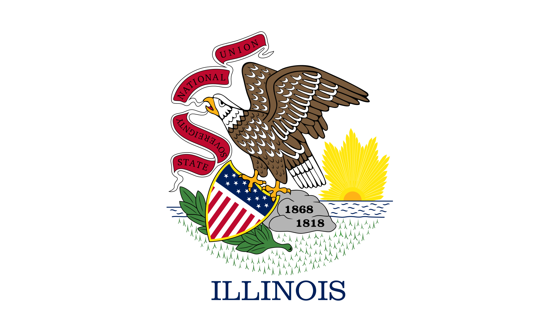 Illinois-IL
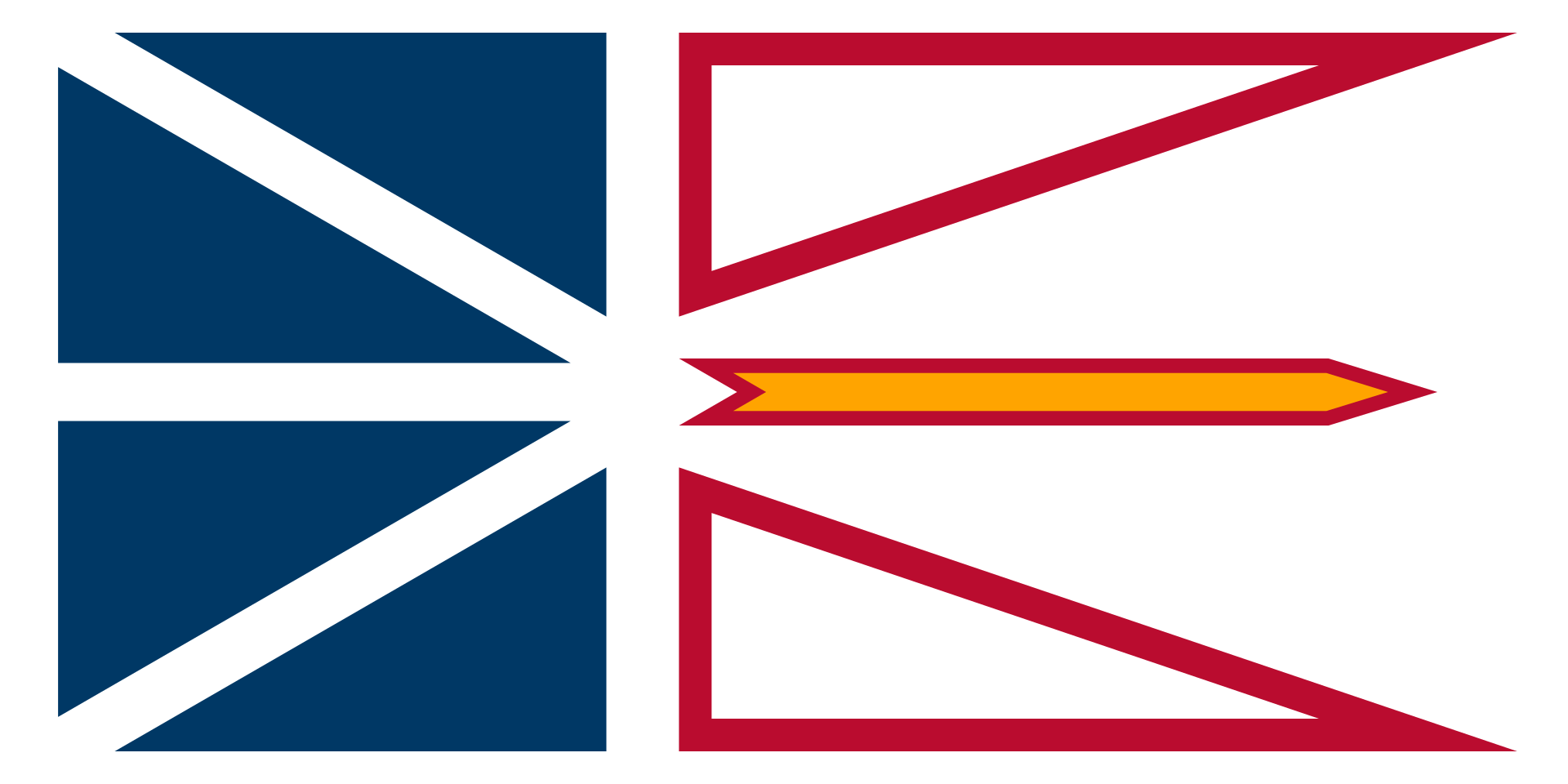 Newfoundland and Labrador-NL
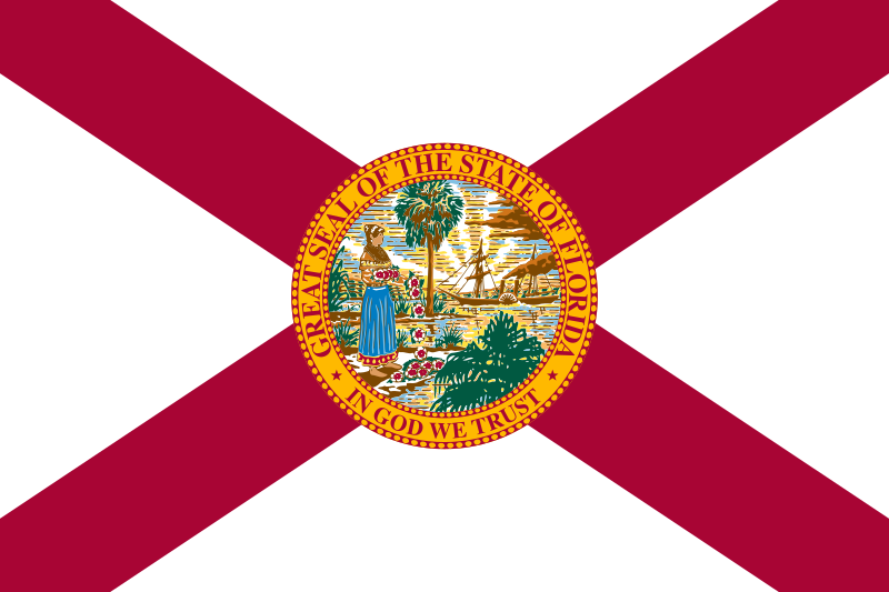 Florida-FL
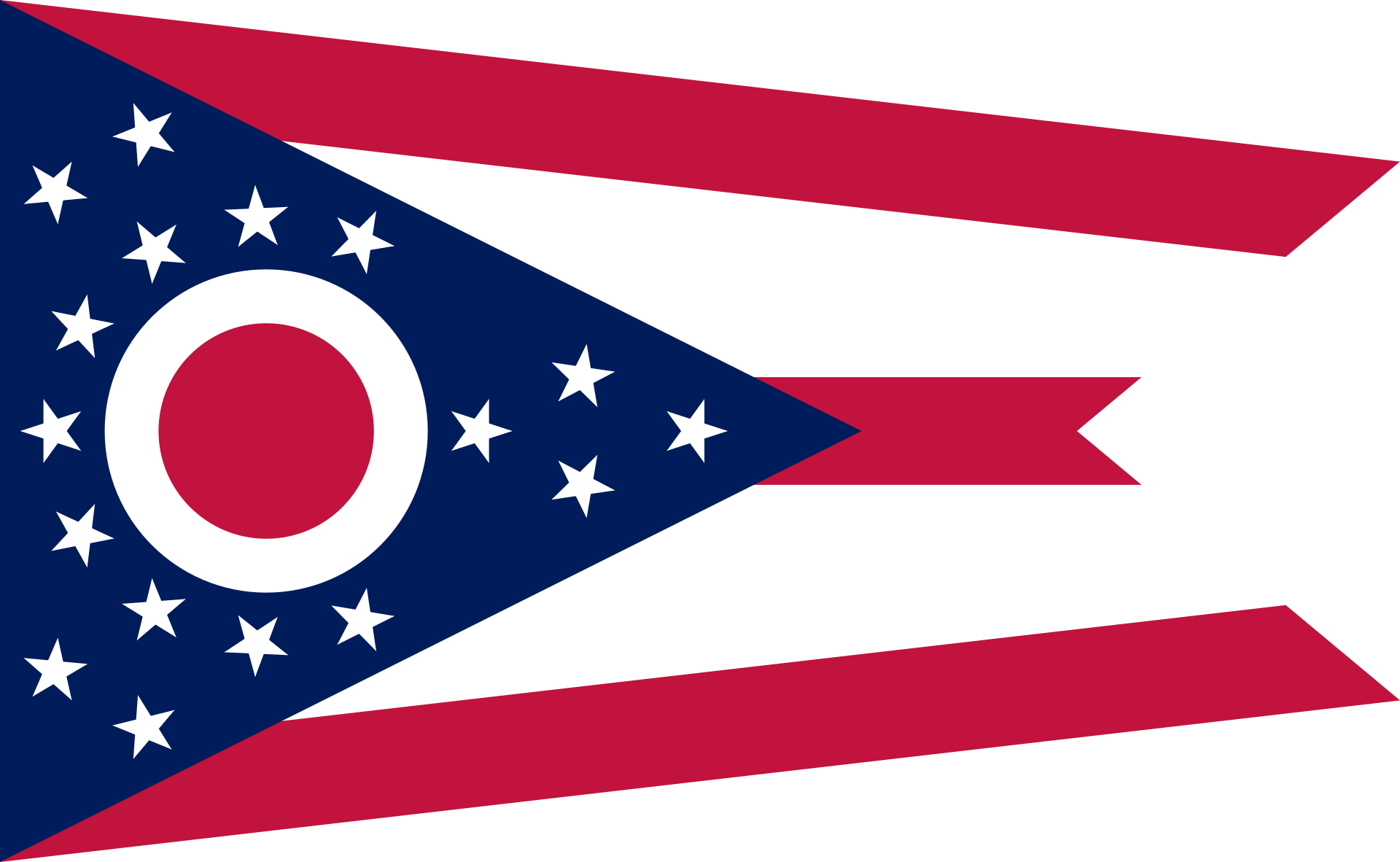 Ohio-OH
 Kansas-KS
 Ontario-ON

 Arizona-AZ
 Oklahoma-OK

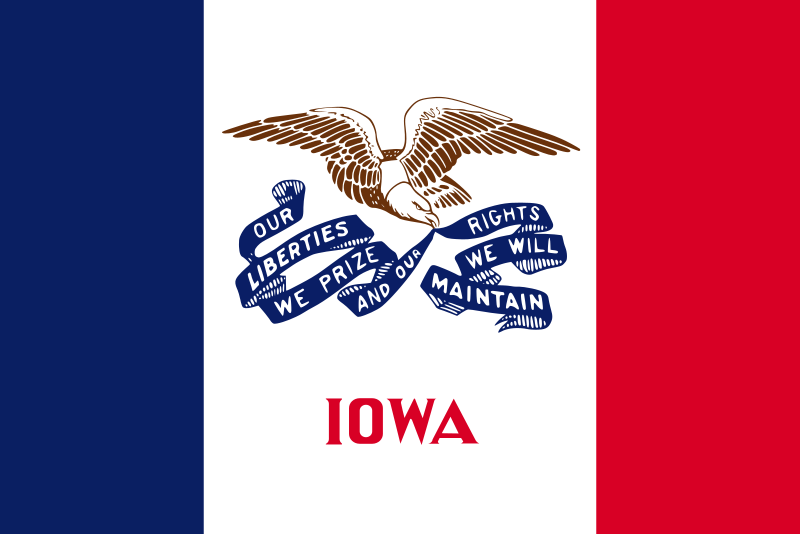 Iowa-IA