Deutsch-Chinesische Enzyklopädie, 德汉百科

 Animal world

 Geography
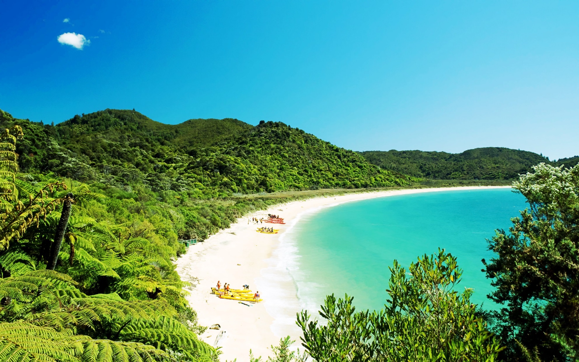
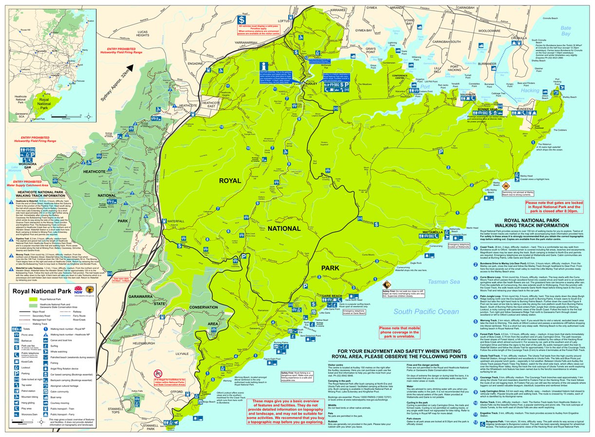
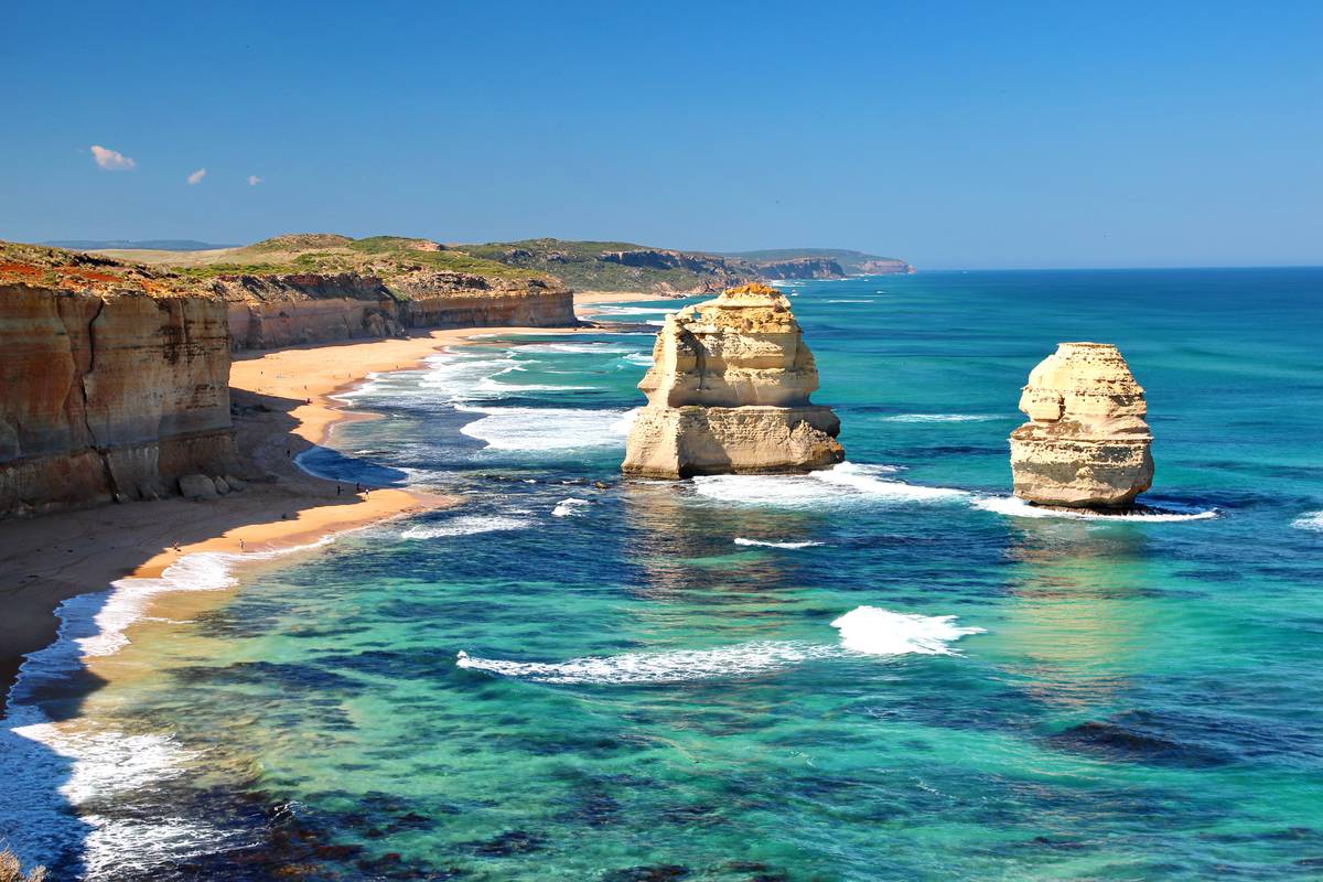
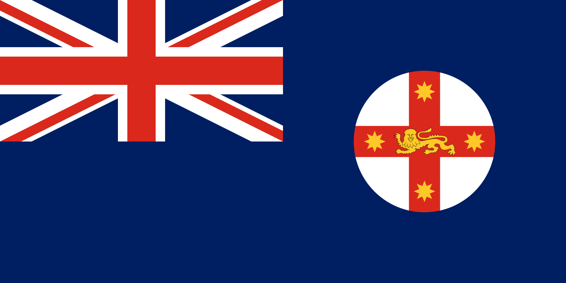 New South Wales-NSW
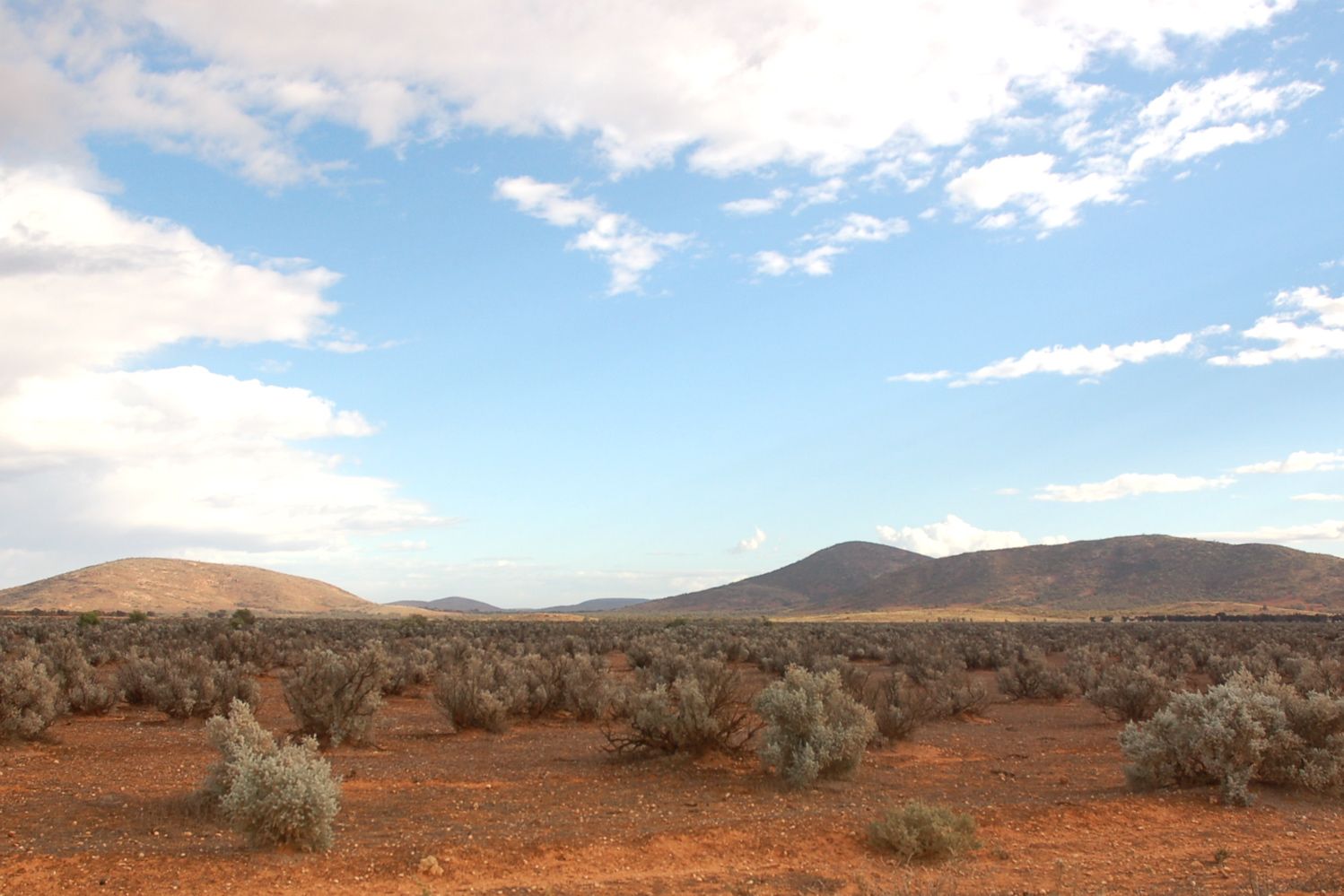
 South Australia-SA
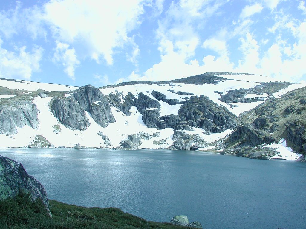
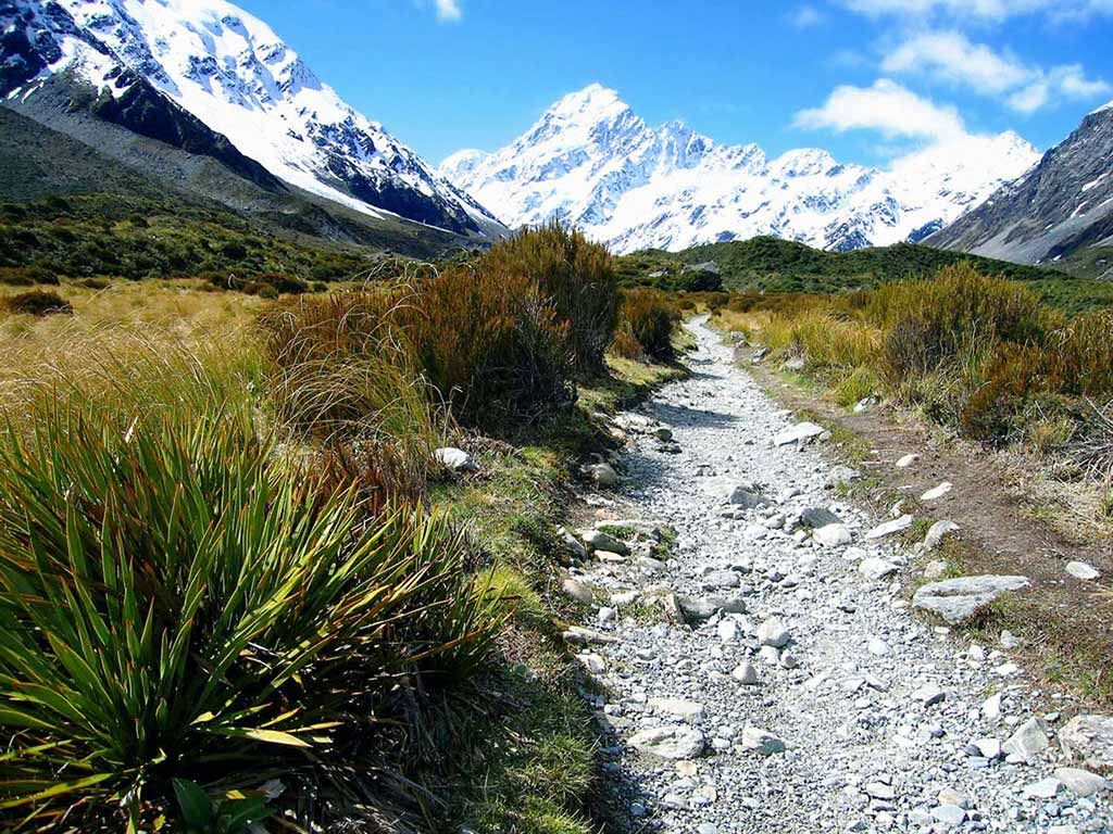
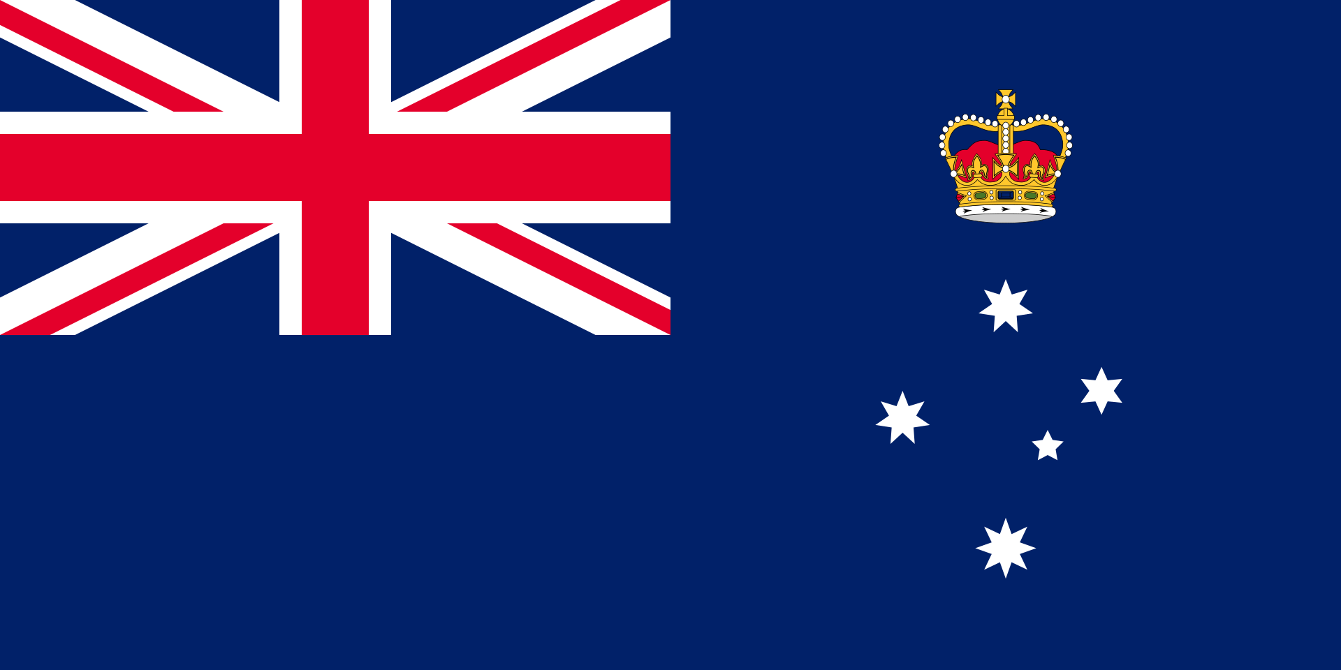 Victoria-VIC
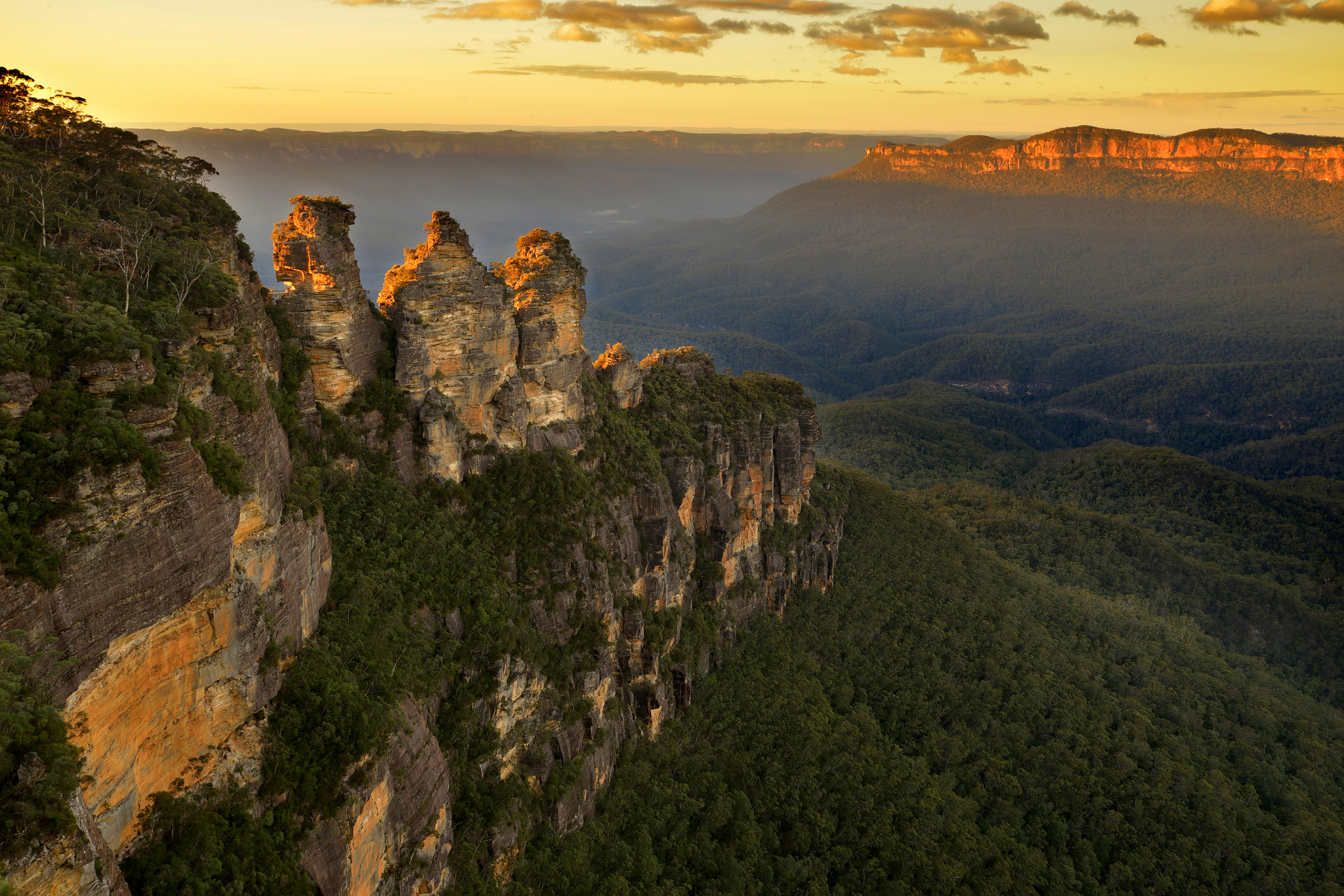
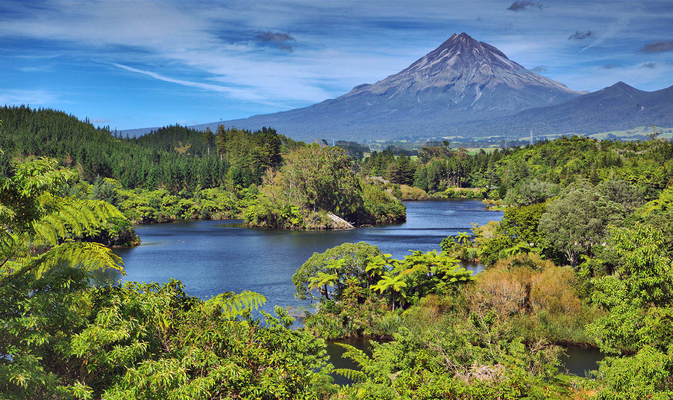
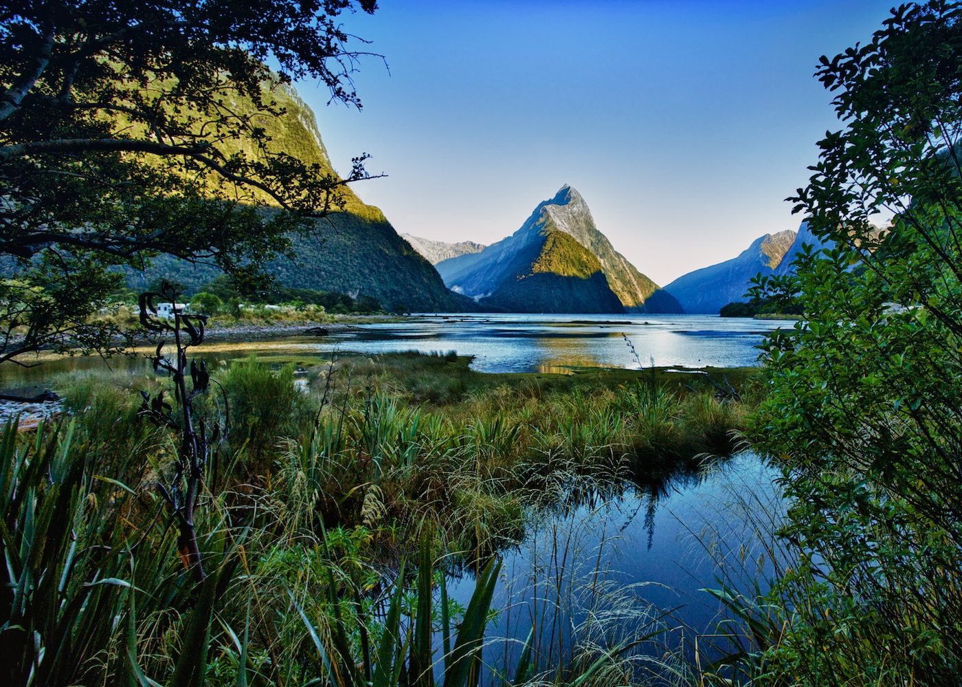
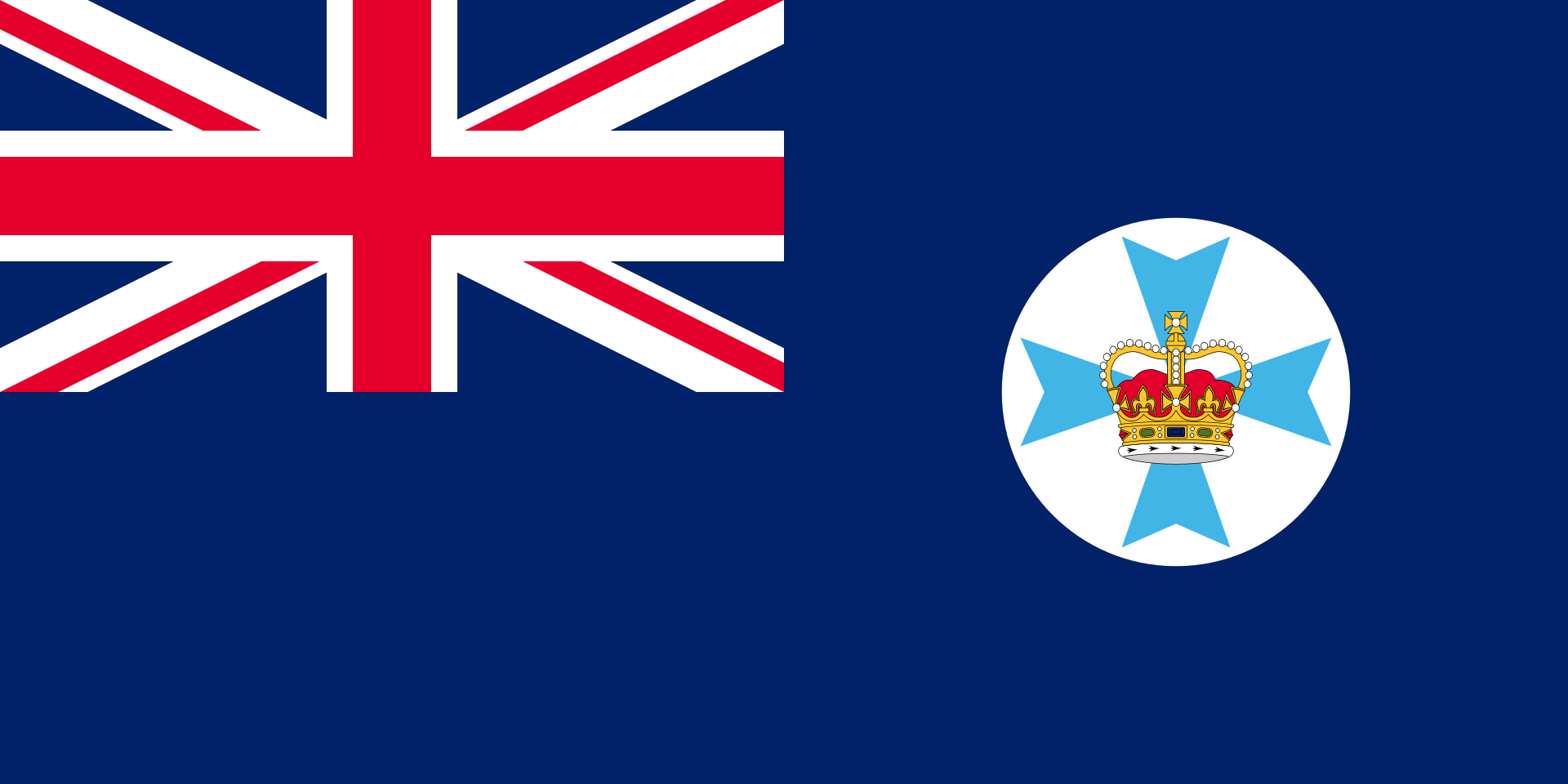 Queensland-QLD


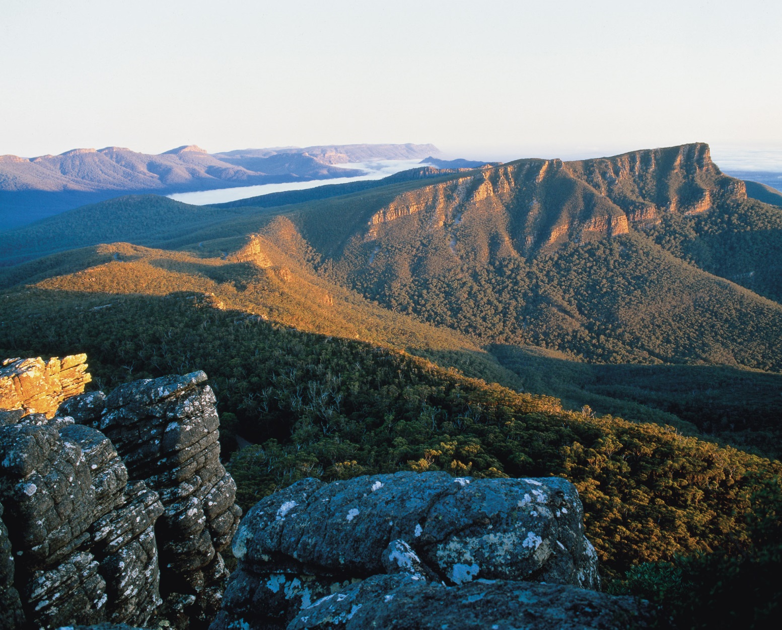
Das Great Barrier Reef (wörtlich übersetzt: (Großes) Barriereriff[1], Großes Barrierriff[2]) oder Great-Barrier-Riff[3] vor der Nordostküste Australiens ist die größte zusammenhängende Ansammlung von über 2.900 einzelnen Korallenriffen der Erde. Im Jahr 1981 wurde es von der UNESCO zum Weltnaturerbe erklärt[4] und wird auch als eines der sieben Weltwunder der Natur bezeichnet.
Das Great Barrier Reef erstreckt sich nordöstlich an der Ostküste des Bundesstaates Queensland im Korallenmeer von der Torres-Straße bis zur Lady-Elliot-Insel, die etwa 75 Kilometer nordöstlich von Bundaberg liegt. Es ist im Laufe seiner Evolution auf eine Länge von gut 2.300 Kilometern angewachsen und erreicht damit eine Ausdehnung vom 10. bis zum 24. südlichen Breitengrad. Als erste Europäer erblickte die Besatzung der HMS Endeavour unter dem Kommando des britischen Seefahrers James Cook das Great Barrier Reef, als er während seiner ersten Südseereise (1768–1771) von der Botany Bay kommend mit seinem Schiff entlang der Ostküste Australiens segelte und auf der Höhe des Cape Tribulation am 11. Juni 1770 auf Grund lief.[5][6]
Das Riff verläuft am östlichen Rand des australischen Kontinentalsockels. Es liegt zwischen 30 Kilometern (bei Cairns) und rund 250 Kilometern (bei Gladstone) von der fast parallel verlaufenden australischen Ostküste entfernt. In den Gewässern des Great Barrier Reefs liegen ca. 1.000 Inseln, wie z. B. die Whitsunday Islands oder das Dunk Island, und zahlreiche Sandbänke. Die Fläche des Great Barrier Reef beträgt etwa 347.800 km² und kann mit bloßem Auge vom Weltraum aus gesehen werden.
Das Great Barrier Reef hat laut mehreren in der PNAS veröffentlichten Studien mehr als die Hälfte seiner Korallen aufgrund hoher Wassertemperaturen infolge der globalen Erwärmung verloren.
大堡礁(英语:Great Barrier Reef)是世界最大最长的珊瑚礁群[2][3],位于南太平洋的澳大利亚东北海岸,它纵贯于澳大利亚东北昆士兰州外的珊瑚海,北从托雷斯海峡,南到南回归线以南(约南纬10°至南纬24°),绵延伸展共有2,600公里左右,最宽处161公里。约有2,900个独立礁石[4]以及900个大小岛屿,分布在约344,400平方公里的范围内[5][6],自然景观非常特殊。大堡礁的南端离海岸最远有241公里,北端较靠近,最近处离海岸仅16公里。在落潮时,部分的珊瑚礁露出水面形成珊瑚岛。在礁群与海岸之间是一条极方便的交通海路。风平浪静时,游船在此间通过,船下连绵不断的多彩、多形的珊瑚景色,就成为吸引世界各地游客来猎奇观赏的最佳海底奇观。
大堡礁是由数十亿只微小的珊瑚虫所建构成的[7],是生物所建造的最大物体,就算从外太空也能看到[8]。因其造就了丰富的生物多样性,而在1981年被列入世界自然遗产名录[2][3],也曾被CNN选为世界七大自然奇观[9]。
大堡礁大部分区域都在大堡礁海洋公园的保护之下,这减少了人类对此区的影响,像是渔业、观光业等。但依旧有其他的环境因素影响大堡礁,如因径流或气候变化造成的珊瑚白化及棘冠海星周期性增加。
对澳大利亚原住民及托雷斯海峡岛民来说,从约一万五千年前以来,他们就与大堡礁共同生活至今,无论是文化或精神都深受其影响。
大堡礁也是个相当热门的观光景点,特别是在降灵群岛(Whitsunday Islands)及凯恩斯地区。观光业是这里重要的经济活动,每年约有十亿美元的产值。
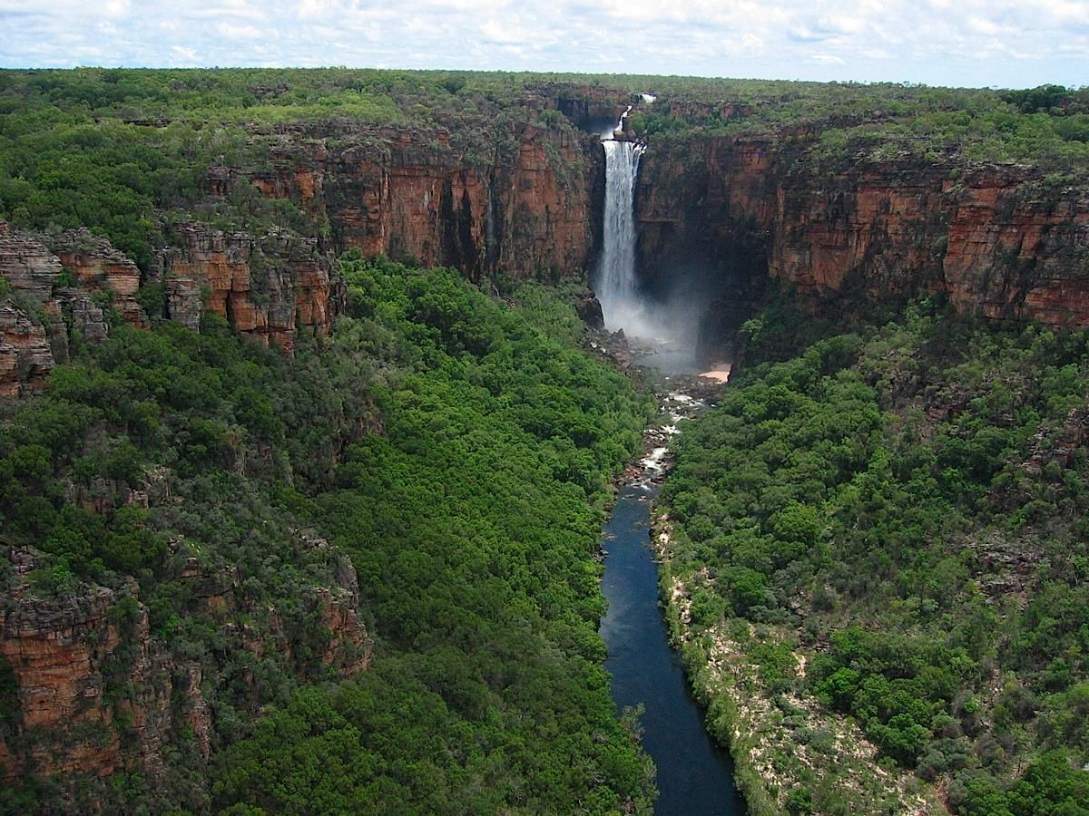
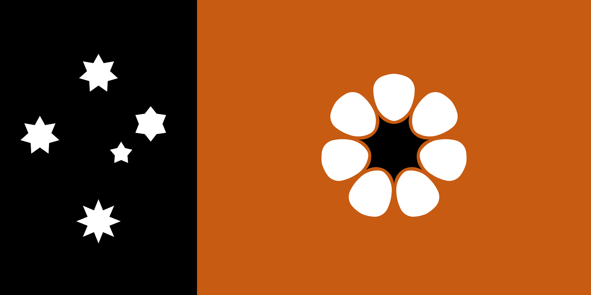 Northern Territory - NT