Deutsch-Chinesische Enzyklopädie, 德汉百科

 Geography

Åland ([ˈoːland] ![]()
![]() ; auch Landskapet Åland finnisch Ahvenanmaa, auch Ahvenanmaan maakunta, in deutscher Amtssprache Ålandinseln[2]) ist eine mit weitgehender politischer Autonomie ausgestattete Region Finnlands. Sie besteht aus der gleichnamigen Inselgruppe in der nördlichen Ostsee am Eingang des Bottnischen Meerbusens zwischen Schweden und dem finnischen Festland. Schwedisch ist die einzige Amtssprache der Region, die infolge einer Entscheidung des Völkerbundes aus dem Jahr 1921 als entmilitarisierte Zone zu Finnland gehört, aber ihre inneren Angelegenheiten weitgehend autonom verwaltet. Bestimmte politische und wirtschaftliche Rechte stehen auch finnischen Staatsangehörigen nur begrenzt zu. Die Wirtschaft der Inseln wird heute vom Fremdenverkehr und dem Schiffsverkehr bestimmt. Letzterer wird durch steuerliche Sonderregelungen begünstigt, die beim Verkehr mit Åland steuerfreien Einkauf ermöglichen.
; auch Landskapet Åland finnisch Ahvenanmaa, auch Ahvenanmaan maakunta, in deutscher Amtssprache Ålandinseln[2]) ist eine mit weitgehender politischer Autonomie ausgestattete Region Finnlands. Sie besteht aus der gleichnamigen Inselgruppe in der nördlichen Ostsee am Eingang des Bottnischen Meerbusens zwischen Schweden und dem finnischen Festland. Schwedisch ist die einzige Amtssprache der Region, die infolge einer Entscheidung des Völkerbundes aus dem Jahr 1921 als entmilitarisierte Zone zu Finnland gehört, aber ihre inneren Angelegenheiten weitgehend autonom verwaltet. Bestimmte politische und wirtschaftliche Rechte stehen auch finnischen Staatsangehörigen nur begrenzt zu. Die Wirtschaft der Inseln wird heute vom Fremdenverkehr und dem Schiffsverkehr bestimmt. Letzterer wird durch steuerliche Sonderregelungen begünstigt, die beim Verkehr mit Åland steuerfreien Einkauf ermöglichen.
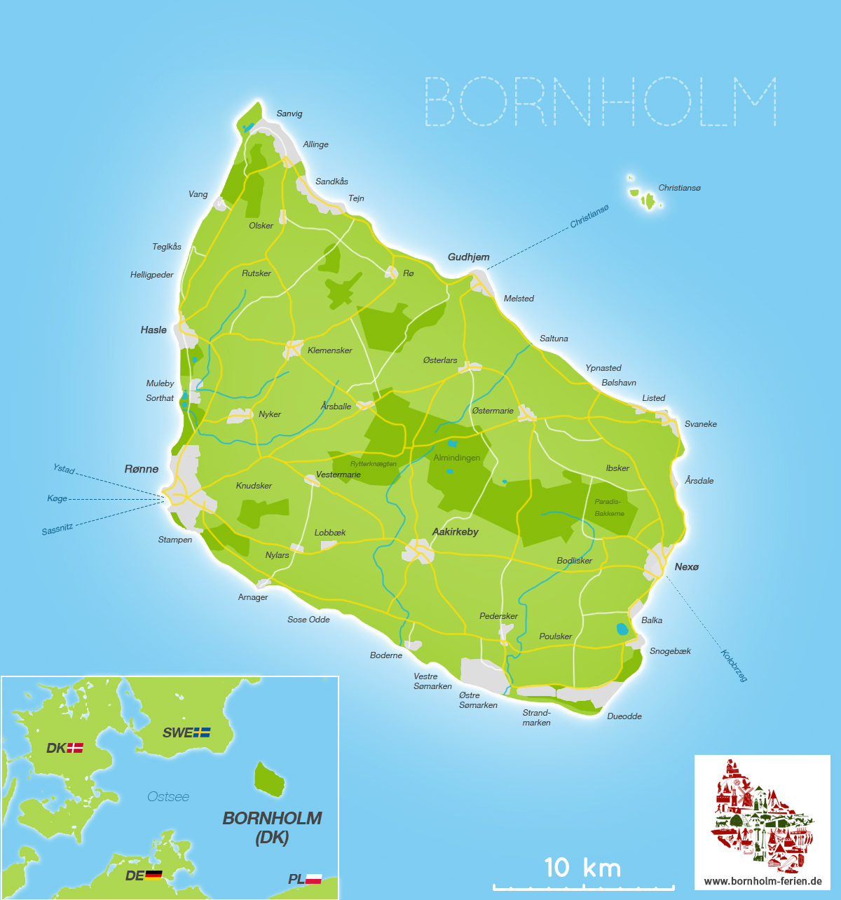
奥兰(瑞典语:Åland),又称阿赫韦南马(芬兰语:Ahvenanmaa),是属于芬兰的一个群岛,位于波罗的海中波的尼亚湾入口处。自1920年起在国际联盟的决议下成为芬兰的一个自治区及非军事区[3]。它是芬兰唯一的单一瑞典语行政区,也是最小的行政区,仅占芬兰全国土地面积的0.51%及总人口的0.54%。自治区的首府为玛丽港。
奥兰群岛由奥兰主岛和其东边6500多个岛屿和岛礁组成,群岛上的90%的人口居住在奥兰主岛上[4]。群岛的几千个岛屿中只有60个岛屿上有人居住。主岛往西距瑞典海岸是38公里宽的海面。主岛往东奥兰群岛跟芬兰的群岛海相连。奥兰的唯一陆地边境位于无人居住的马凯特礁,边境的另外一侧是瑞典。玛丽港距离芬兰大陆的海滨城市图尔库约160公里,离瑞典首都斯德哥尔摩也是大概同等距离。
奥兰的自治地位意味着奥兰自治政府行使区域权力,通常这些区域权力是由芬兰中央政府任命的行政代表来行使的。现今奥兰的非军事化及中立地位追溯至1850年代奥兰战争后的《巴黎和约》。
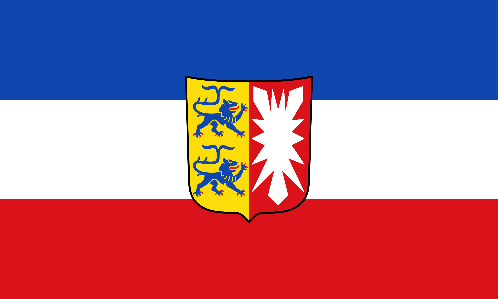 Schleswig-Holstein
 Vacation and Travel

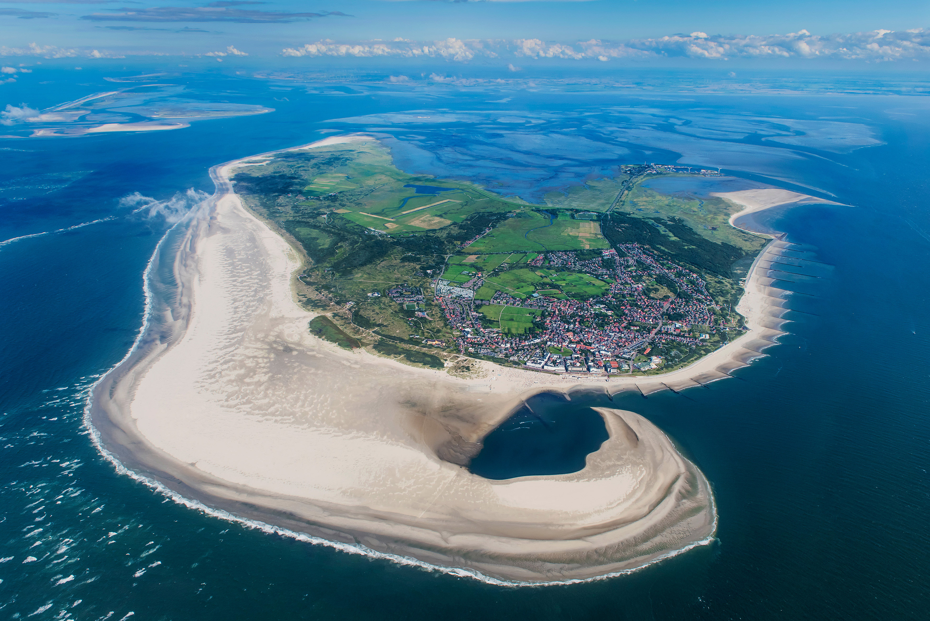
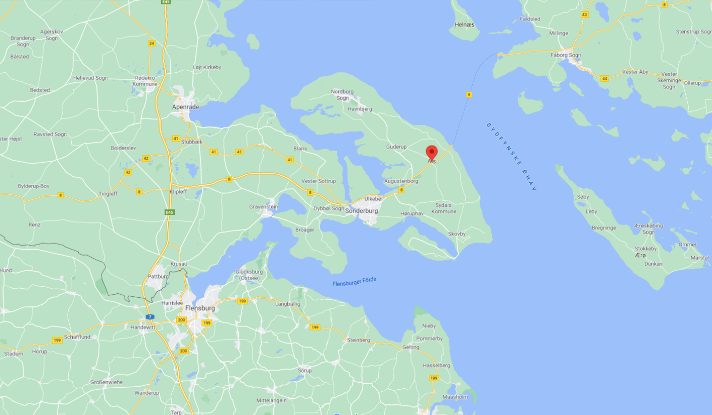
Amrum (Öömrang: Oomram, dänisch Amrum) ist eine Nordfriesische Insel. Sie liegt südlich von Sylt und westlich von Föhr und gehört zum Kreis Nordfriesland in Schleswig-Holstein. Mit einer Fläche von 20,47 km² (ohne den 10 km² großen Kniepsand) ist sie nach Sylt, Föhr und Pellworm die viertgrößte Insel dieser Inselgruppe. Amrum liegt im Nationalpark Schleswig-Holsteinisches Wattenmeer. In den drei Gemeinden (Nebel, Norddorf und Wittdün) mit den fünf Inseldörfern (Norddorf, Nebel, Süddorf, Steenodde, Wittdün) leben etwa 2300 Einwohner. Die Kommunen gehören zum Amt Föhr-Amrum. Hauptwirtschaftszweig des Seebades Nebel sowie der Seeheilbäder Wittdün und Norddorf ist der Fremdenverkehr.
阿姆鲁姆(Öömrang:Oomram,丹麦语 Amrum)是北弗里斯兰的一个岛屿。它位于叙尔特岛以南、福尔岛以西,隶属于石勒苏益格-荷尔斯泰因的北弗里斯兰区。它的面积为 20.47 平方公里(不包括 10 平方公里的克尼普桑德岛),是该群岛中仅次于叙尔特岛、福尔岛和佩尔沃姆岛的第四大岛。阿姆鲁姆岛位于石勒苏益格-荷尔斯泰因瓦登海国家公园内。三个市镇(Nebel、Norddorf 和 Wittdün)和五个岛屿村庄(Norddorf、Nebel、Süddorf、Steenodde 和 Wittdün)约有 2300 名居民。这些市镇隶属于弗尔-阿姆鲁姆(Föhr-Amrum)政府。内贝尔(Nebel)海滨度假胜地以及维特杜恩(Wittdün)和诺德多夫(Norddorf)海滨度假胜地的主要经济部门是旅游业。

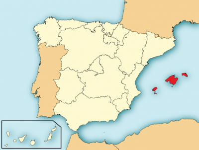
 Balearic Islands
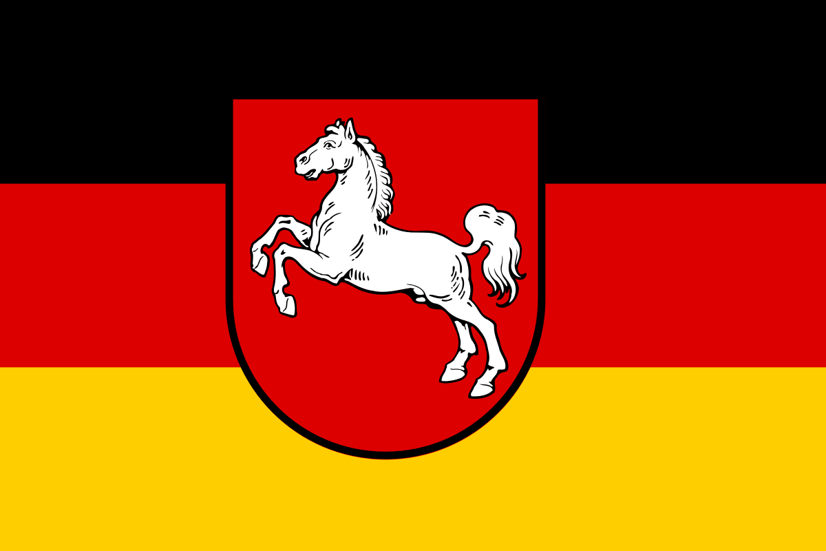 Lower Saxony