
Deutsch-Chinesische Enzyklopädie, 德汉百科

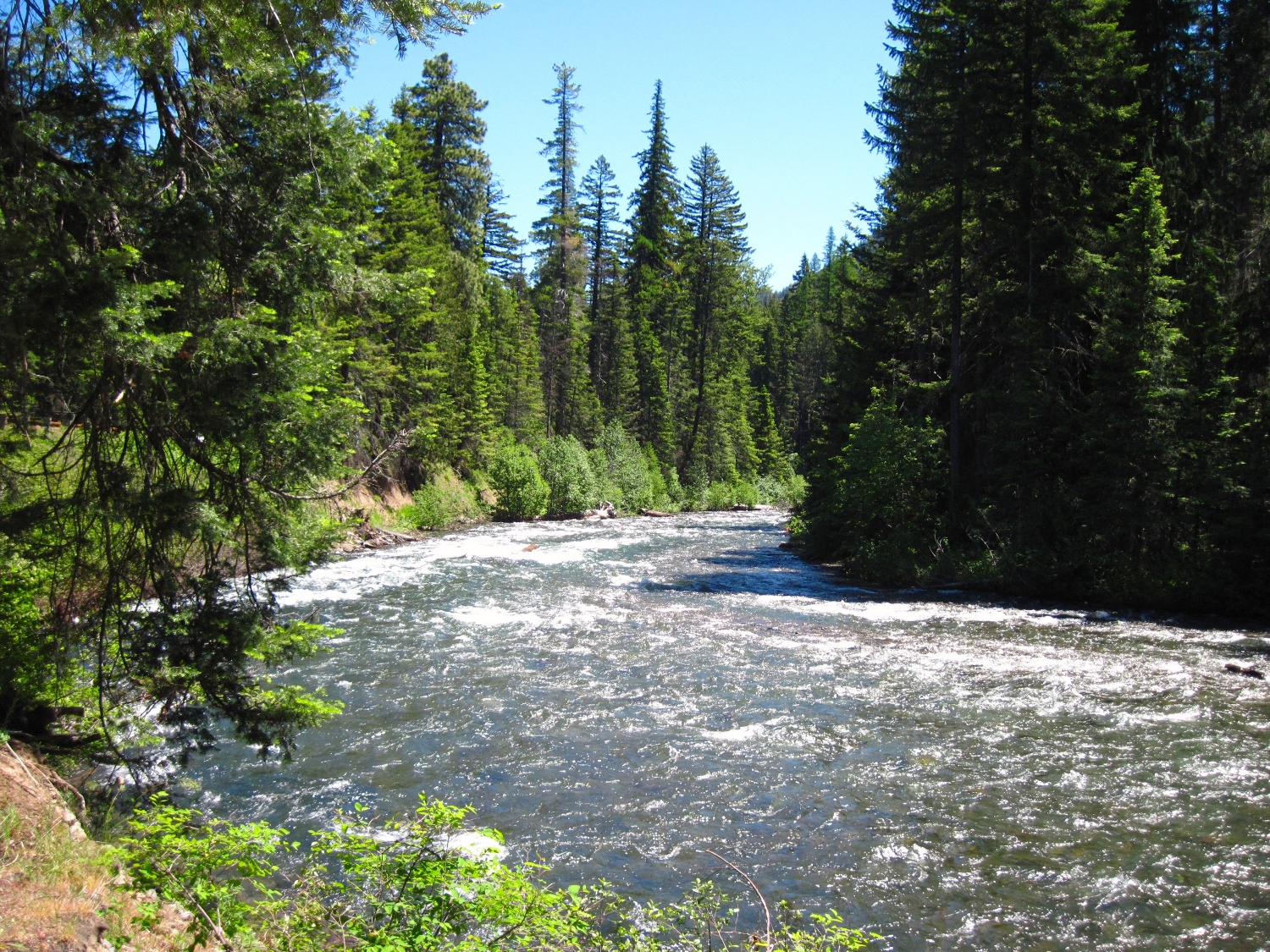


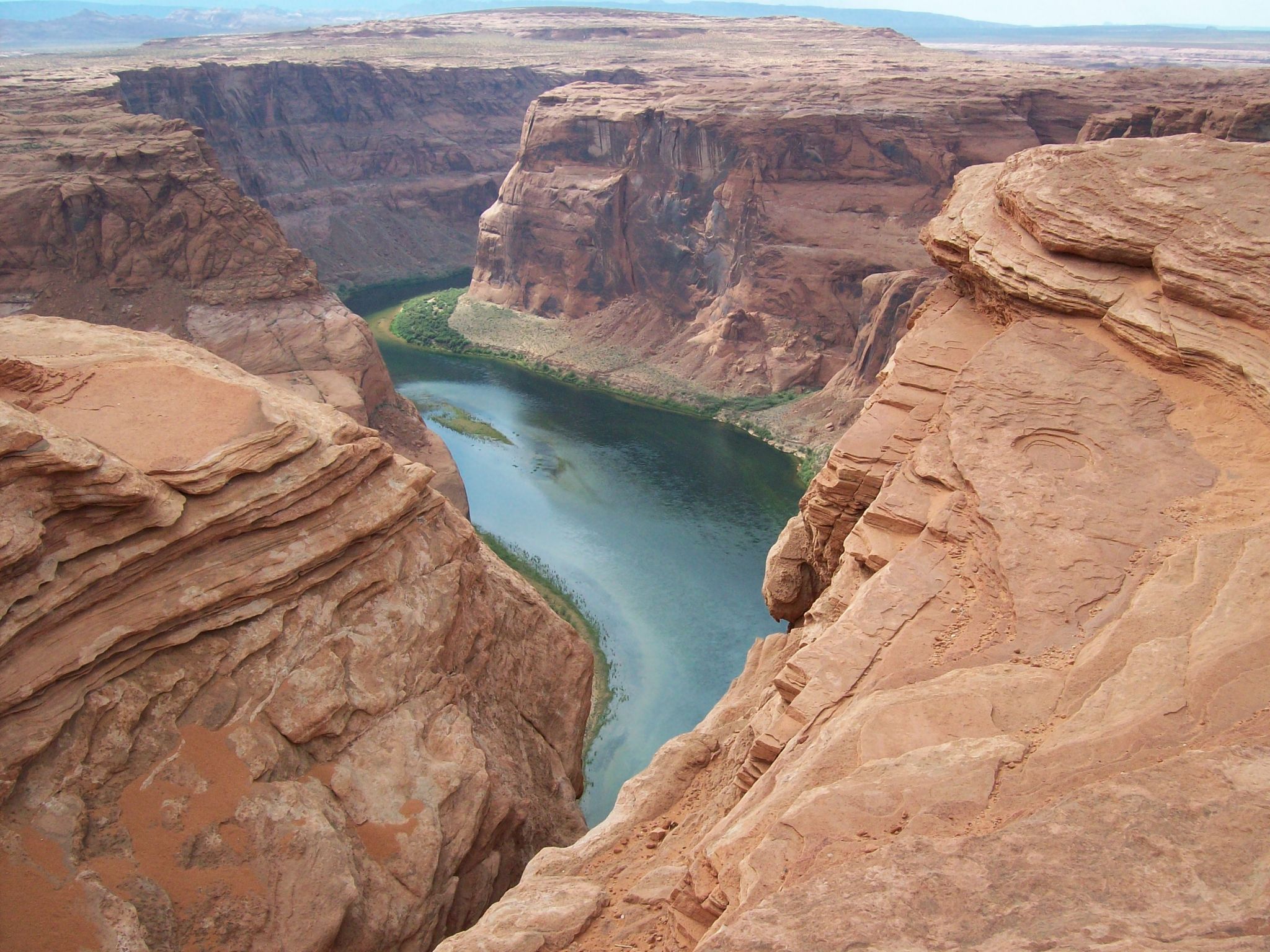
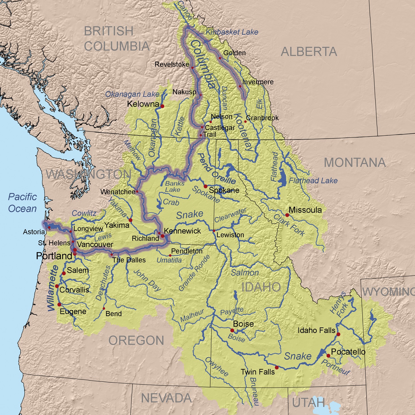
Der Columbia River ist ein 1953 Kilometer langer Fluss im westlichen Nordamerika. Er ist der wasserreichste aller nordamerikanischen Flüsse, die in den Pazifischen Ozean münden.
Mit seinem linken Nebenfluss, dem Snake River, zusammen hat er eine Länge von 2240 km. Sein Einzugsgebiet umfasst 668.217 km², wovon etwa 15 % innerhalb Kanadas[1] liegen.
Der Fluss ist nach dem Schiff Columbia Rediviva des US-amerikanischen Kapitäns Robert Gray benannt, der am 11. Mai 1792 als erster Weißer den Columbia River hinauffuhr. Gray reiste in den pazifischen Nordwesten, um mit Fellen zu handeln.[2]
Die Lewis-und-Clark-Expedition erreichte 1805 vom Osten auf dem Landweg die Mündung des Flusses. Der Columbia River wurde 1814 erstmals vollständig von David Thompson kartografiert.
Von den 1820er Jahren bis in die 1840er Jahre folgte der York Factory Express, eine Handelsroute der Hudson’s Bay Company zwischen der York Factory an der Hudson Bay und dem Fort Vancouver, abschnittsweise dem Flusslauf.
コロンビア川(コロンビアがわ、Columbia River)は、カナダのブリティッシュコロンビア州およびアメリカ合衆国太平洋岸北西部を流れる川である。
ブリティッシュコロンビア州のカナディアンロッキーに源を発する。そこからアメリカ、ワシントン州を流れ、ポートランドにて支流のウィラメット川を合わせ、オレゴン州のアストリアにて太平洋に注ぐ。最後の480kmはワシントン州とオレゴン州の境界となっている。
コロンビア川には、ボンネビル・ダム、グランドクーリーダムなどの水力発電用のダムがある。
マンハッタン計画以来半世紀間操業したハンフォード・サイトのプルトニウム生産炉による放射能汚染が深刻な問題となっている。
The Columbia River (Upper Chinook: Wimahl or Wimal; Sahaptin: Nch’i-Wàna or Nchi wana; Sinixt dialect swah'netk'qhu) is the largest river in the Pacific Northwest region of North America.[10] The river rises in the Rocky Mountains of British Columbia, Canada. It flows northwest and then south into the US state of Washington, then turns west to form most of the border between Washington and the state of Oregon before emptying into the Pacific Ocean. The river is 1,243 miles (2,000 km) long, and its largest tributary is the Snake River. Its drainage basin is roughly the size of France and extends into seven US states and a Canadian province. The fourth-largest river in the United States by volume, the Columbia has the greatest flow of any North American river entering the Pacific.
The Columbia and its tributaries have been central to the region's culture and economy for thousands of years. They have been used for transportation since ancient times, linking the region's many cultural groups. The river system hosts many species of anadromous fish, which migrate between freshwater habitats and the saline waters of the Pacific Ocean. These fish—especially the salmon species—provided the core subsistence for native peoples.
The first documented European discovery of the Columbia River was that of Bruno de Heceta, who in 1775 sighted the river's mouth. In the late 18th century, a private American ship became the first non-indigenous vessel to enter the river; it was followed by a British explorer, who navigated past the Oregon Coast Range into the Willamette Valley. In the following decades, fur trading companies used the Columbia as a key transportation route. Overland explorers entered the Willamette Valley through the scenic but treacherous Columbia River Gorge, and pioneers began to settle the valley in increasing numbers. Steamships along the river linked communities and facilitated trade; the arrival of railroads in the late 19th century, many running along the river, supplemented these links.
Since the late 19th century, public and private sectors have heavily developed the river. To aid ship and barge navigation, locks have been built along the lower Columbia and its tributaries, and dredging has opened, maintained, and enlarged shipping channels. Since the early 20th century, dams have been built across the river for power generation, navigation, irrigation, and flood control. The 14 hydroelectric dams on the Columbia's main stem and many more on its tributaries produce more than 44 percent of total US hydroelectric generation. Production of nuclear power has taken place at two sites along the river. Plutonium for nuclear weapons was produced for decades at the Hanford Site, which is now the most contaminated nuclear site in the US. These developments have greatly altered river environments in the watershed, mainly through industrial pollution and barriers to fish migration.
Le Columbia (se prononce /kə.lʌm.bi.ə/ ou « co-lemb-bia » et se nomme Columbia River /kə.lʌm.bi.ə ˈɹɪvəɹ/ en anglais) est un fleuveNote 1 circulant du Canada aux États-Unis avant de se jeter dans l'océan Pacifique.
C'est le plus grand cours d'eau de la région Nord-Ouest Pacifique de l'Amérique du Nord, que ce soit par sa longueur totale, la taille du bassin versant ou son débit à l'embouchure. Il prend sa source dans les montagnes Rocheuses en Colombie-Britannique, au Canada, puis coule dans les États américains de Washington et de l'Oregon avant de se jeter dans l'océan Pacifique à la hauteur de la ville d'Astoria. Le fleuve mesure environ 2 000 kilomètres et son principal affluent est la Snake. Son bassin versant est d'environ 670 000 kilomètres carrés, soit un peu plus que la taille de la France, et s'étend sur sept États américains et une province canadienne.
Le Columbia est le quatrième fleuve des États-Unis par son volume et est celui des fleuves d'Amérique du Nord qui se jettent dans l'océan Pacifique qui a le plus grand débit. Son débit abondant et son dénivelé relativement important lui donnent un énorme potentiel pour la production d'énergie hydroélectrique. Les quatorze barrages hydroélectriques sur le cours principal du Columbia produisent à eux seuls plus d'énergie hydroélectrique que ceux de tout autre fleuve nord-américain.
Le Columbia et ses affluents ont été au centre de la culture et de l'économie de la région depuis des milliers d'années. Ils ont été utilisés pour le transport et comme axe de communication, reliant les nombreux groupes de populations de la région. Le système fluvial accueille de nombreuses espèces de poissons anadromes qui migrent entre les habitats d'eau douce et de mer de l'océan Pacifique. Ces poissons, surtout les espèces de saumons, fournirent une nourriture de base pour les peuples autochtones et, dans les siècles passés, les commerçants de tout l'Ouest de l'Amérique du Nord sont venus commercer ces poissons.
À la fin du XVIIIe siècle, le Columbia Rediviva, un navire américain, devint le premier à entrer dans l'embouchure du fleuve depuis l'océan Pacifique, et son commandant Robert Gray nomma sa découverte du nom de son bateau. Il fut suivi par l'explorateur britannique William Robert Broughton qui explora la chaîne côtière de l'Oregon dans la vallée de la Willamette. Dans les décennies suivantes, les compagnies commerciales de traite des fourrures utilisèrent le Columbia comme une voie de transport clé. Les explorateurs à terre venus de l'est entrèrent dans la vallée de la Willamette par la gorge du Columbia et les pionniers commencèrent à s'installer dans la vallée de la Willamette en nombre croissant depuis les deux voies d'accès découvertes. Les bateaux à vapeur naviguant le long du fleuve facilitèrent le commerce et les communications et l'arrivée du chemin de fer à la fin du XIXe siècle, avec des lignes suivant le lit du fleuve, permit de compléter ces liens.
Depuis la fin du XIXe siècle, les installations diverses, privées et publiques, se sont fortement développées sur le fleuve. Pour faciliter la navigation des navires et des barges, des écluses ont été construites le long du bas Columbia et de ses affluents, et le dragage a ouvert et maintenu des chenaux de navigation praticables. Dès le début du XXe siècle, des barrages furent construits sur le fleuve pour la production d'électricité, la navigation, l'irrigation agricole et le contrôle des inondations. Au début des années 2010, du côté américain, un lac de barrage est présent presque tous les milles sur le fleuve. La production d'énergie nucléaire a lieu sur deux sites le long du fleuve et du plutonium pour des armes nucléaires a été produit pendant des décennies sur le site du laboratoire national de Hanford, qui est maintenant le site nucléaire le plus contaminé aux États-Unis. Toutes ces évolutions eurent un impact énorme sur les écosystèmes locaux, et peut-être plus particulièrement par la pollution industrielle et les obstacles à la migration des poissons.
Il Columbia è il fiume più grande sfociante nel Pacifico nord-occidentale, in Nord America.
Il fiume nasce dalle Montagne Rocciose della Columbia Britannica, in Canada. Scorre con andamento nord-ovest e poi verso sud, entrando negli Stati Uniti d'America, nello stato di Washington; successivamente inizia a scorrere verso ovest per fungere da confine tra Washington e l'Oregon, prima di sfociare nell'Oceano Pacifico. La lunghezza del fiume è di 2.000 km, e il suo più grande affluente lo Snake. Il suo bacino idrografico ha quasi le dimensioni della Francia.
Il Columbia è il quarto fiume più grande degli Stati Uniti, ed il fiume con più portata tra quelli sfocianti nel Pacifico nord-occidentale. L'enorme portata e la relativa velocità delle sue acque conferiscono al Columbia un enorme potenziale per la generazione di energia idroelettrica. Le 14 dighe poste sul fiume, e quelle poste lungo il corso degli affluenti, producono più energia di qualsiasi altro fiume nordamericano.
Il fiume e i suoi affluenti sono stati per migliaia di anni molto importanti per la cultura e l'economia delle regioni che attraversano. Essi sono stati utilizzati per il trasporto fin dall'antichità, collegando un sistema di culture molto diverse tra loro. Le fasce fluviali del Columbia e dei suoi affluenti ospitano molte specie di pesci anadromi, che migrano dalle acque dolci a quelle salate dell'Oceano Pacifico. Questi pesci, soprattutto il salmone, sono stati fondamentali per la sopravvivenza dei nativi e per i commercianti provenienti da tutto il Nord America.
El río Columbia (también conocido como Wimahl o Gran Río por los nativos de los pueblos chinook que viven en su curso bajo) es un río del suroeste de Canadá y noroeste de Estados Unidos que fluye en dirección norte-sur-oeste por la provincia de Columbia Británica, en Canadá, y los estados de Washington y Oregón en Estados Unidos, desembocando en el océano Pacífico. Con 2044 km es el sexto río más largo de América del Norte, por detrás del Misuri, Misisipi, Bravo, Arkansas y Colorado.
Toma el nombre del Columbia Rediviva, el primer barco occidental conocido que haya remontado el río. Nace en la provincia canadiense de la Columbia Británica y tras cruzar el estado de Washington (EE. UU.) y luego delimitar gran parte de la separación administrativa entre los estados de Washington y Oregón, desemboca en el Pacífico. Su cuenca hidrográfica, que drena gran parte de la Columbia Británica, Idaho, Oregón, Washington y pequeñas regiones de Montana, Wyoming, Utah y Nevada, comprende 668 000 km².
En términos de caudal (7500 m³/s en su desembocadura), el Columbia es el río de Norteamérica más caudaloso de la vertiente del Pacífico y el cuarto más caudaloso de los Estados Unidos. La fuerte corriente del río y el elevado salto o descenso de altura en una relativamente corta longitud, le proporciona un tremendo potencial de producción de electricidad que ya ha sido explotado, siendo el río que más energía hidroeléctrica produce de Norteamérica, con catorce presas a lo largo de su curso —tres en Canadá y once en Estados Unidos— y otras muchas en varios de sus afluentes.
Su desembocadura fue descubierta y cartografiada en 1775 por el buque español Santiago al mando del comandante Bruno de Heceta. En 1792 fue explorado por el comerciante y aventurero estadounidense Robert Gray. Entre 1807 y 1811, la peletera Compañía del Noroeste explotó todo su curso. Desde la década de 1810 el río sirvió como vía de comunicación en la región noroccidental del subcontinente.1
Después del establecimiento de numerosos asentamientos estadounidenses y europeos en sus orillas, el río Columbia ha prestado muchos servicios para el desarrollo de los propósitos humanos, incluyendo trabajos de draga para permitir la navegación de mayores barcos por sus aguas, la construcción de presas para la generación de electricidad, agua para el riego de cultivos y control de crecidas e inundaciones, e incluso para refrigerar instalaciones de energía nuclear. Todos esos proyectos han entrado en conflicto con la conservación del medioambiente y el movimiento de especies píscicolas y animales, produciendo una contaminación indeseada en sus aguas.
Колумбия (англ. Columbia River) — река на северо-западе Северной Америки[1]. Пересекает канадскую провинцию Британская Колумбия, а также американские штаты Вашингтон и Орегон. Длина — 2000[2] км.
Полноводная Колумбия имеет ледниковое питание и горный скоротечный характер течения. Большой объём воды и значительный перепад высот на относительно короткой дистанции создаёт благоприятные условия для производства гидроэлектроэнергии. Колумбия является рекой с самым большим производством электроэнергии в Северной Америке. На реке построено 14 гидроэлектростанций как в США, так и в Канаде.
Первыми из европейцев по реке спустились участники экспедиции Льюиса и Кларка 1805—1807 годов. В 1806—1811 годах бассейн реки обследовал и нанёс на карту торговец пушниной и картограф Дэвид Томпсон. Он же стал первым, кто прошёл реку от истоков до устья.
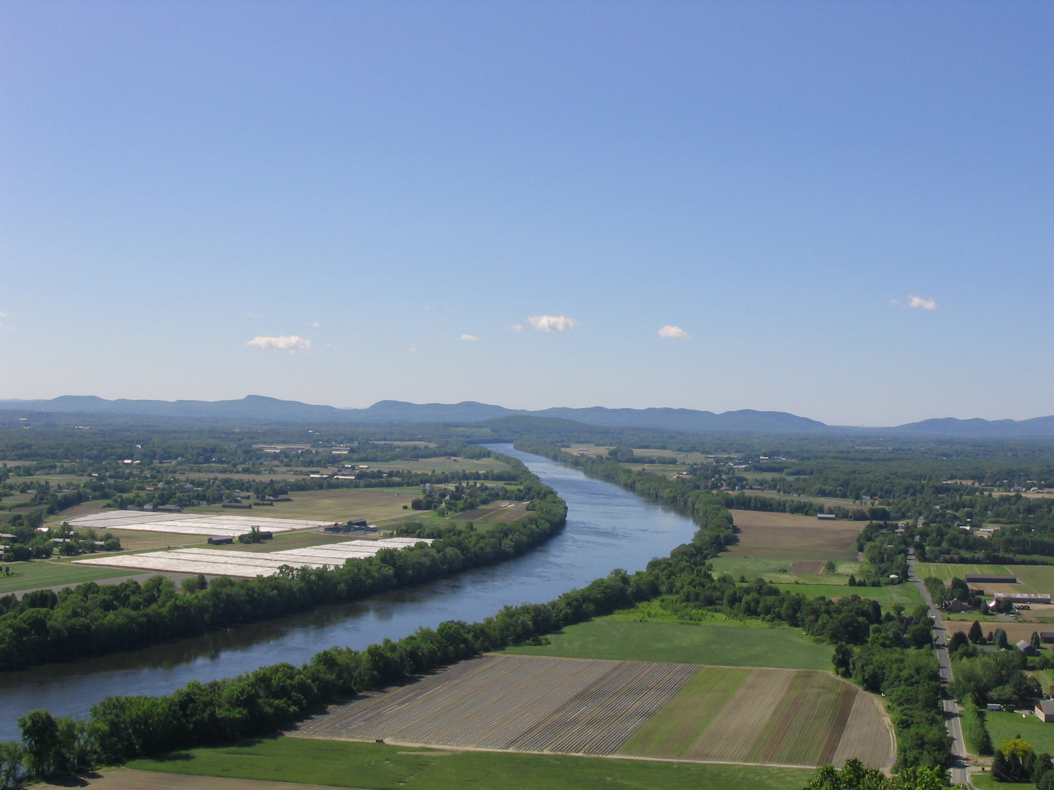
康涅狄格河 (英语:Connecticut River),亦称康河,是美国新英格兰最大的河流,长655公里,流域面积29,137平方公里。发源于新罕布什尔州的第四康涅狄格湖,经过佛蒙特州和新罕布什尔州的边界,经马萨诸塞州西部,在康涅狄格州中南部流入长岛海湾。
Der Connecticut River ist der längste Fluss in Neuengland in den Vereinigten Staaten. Er entsteht im Norden New Hampshires nahe der kanadischen Grenze, wo er eine Kette gleichnamiger Seen durchfließt, ehe er entlang der Grenze zwischen diesem Bundesstaat und Vermont südwärts, durch den westlichen Teil von Massachusetts und das Zentrum von Connecticut fließt, um schließlich bei Old Saybrook in den Long Island Sound zu münden. Er hat eine Länge von 655 km und das Einzugsgebiet umfasst 29.125 km². Die durchschnittliche jährliche Abflussmenge beträgt 556 m³/s.
Dank zahlreicher Stauwerke und Schleusen ist er bis Hartford für Schiffe befahrbar. Der Fluss unterliegt bis Windsor Locks den Gezeiten, etwa 95 km oberhalb der Mündung.
Der Connecticut River entwässert einen Teil der White Mountains in New Hampshire und der Green Mountains in Vermont nach Süden, sowie den östlichen Teil der Berkshires in Massachusetts. Im westlichen Teil von Massachusetts durchfließt der Connecticut River das breite Pioneer Valley. Am Connecticut River liegen unter anderen die Städte Northampton, Springfield und Hartford.
Der Fluss führt eine große Menge von Schlick mit sich, insbesondere zur Zeit der Schneeschmelze im Frühjahr. Dieses mitgeführte Material erzeugte eine Sandbank in der Nähe der Mündung in den Long Island Sound, die historisch ein bedeutendes Hindernis für die Schifffahrt bedeutete. Vor allem aus diesem Grund ist der Connecticut River einer der wenigen größeren Flüsse Neuenglands, in dessen Nähe zur Mündung keine wichtige Hafenstadt entstand. Der Ästuar des Flusses und seine Wattgebiete bilden eines der 1759 Feuchtgebiete von internationaler Bedeutung, die durch die Ramsar-Konvention geschützt werden.
Der Name des Flusses ist eine französische Verballhornung des Algonkin-Wortes quinetucket und bedeutet langer Gezeitenfluss.

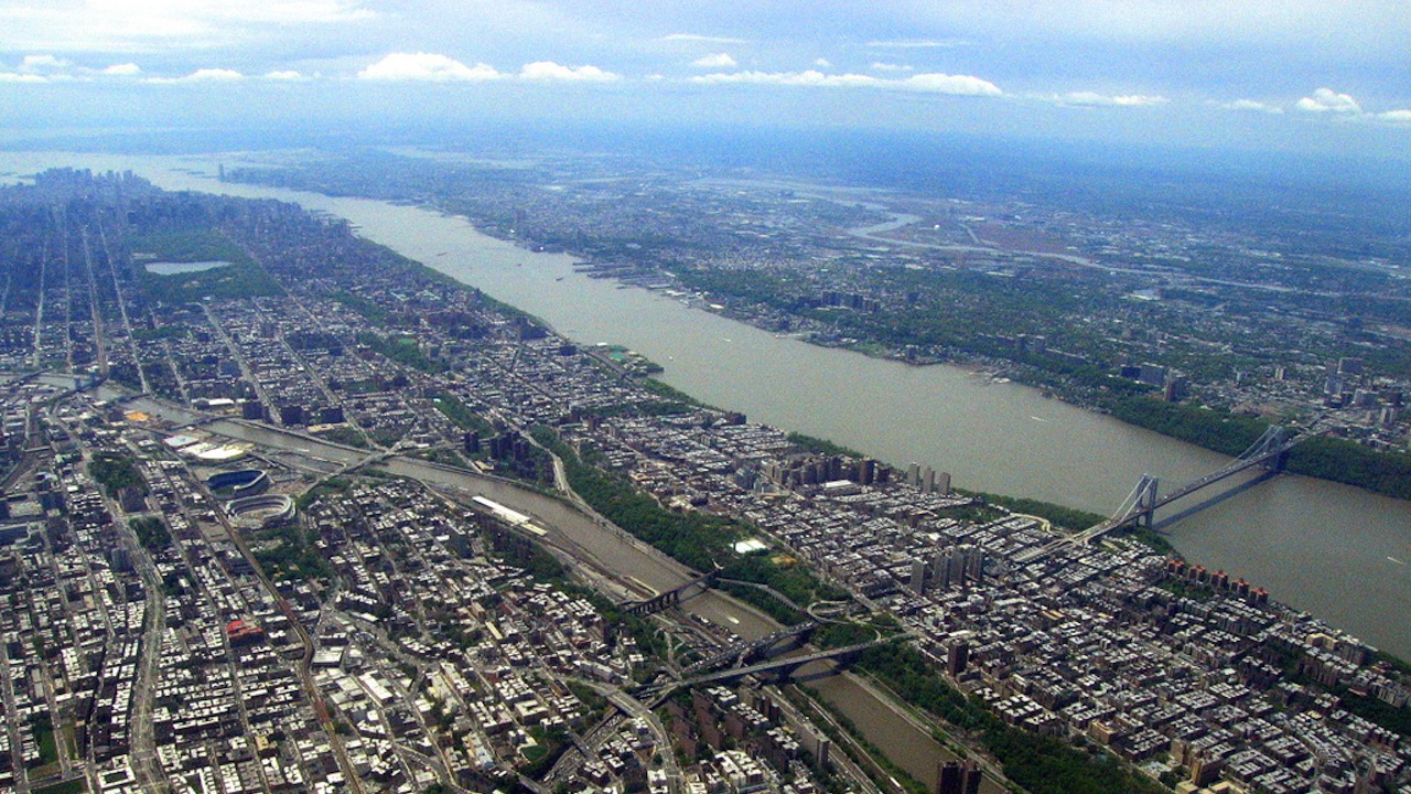
哈德逊河(英语:Hudson River,又译赫逊河)是美国纽约州的大河,长507公里,发源于纽约上州阿第伦达克山脉,上游分出莫华克河,西接伊利运河(可达五大湖),流经哈德逊河谷后汇入纽约港,是纽约州的经济命脉。自北向南,流经纽约州东部、纽约市、奥尔巴尼市。下游为纽约州和纽泽西州的边界。
1524年,意大利探险家乔瓦尼·达韦拉扎诺穿过上纽约湾,到达今天纽约市,他提出这里是一条大河入海口。达韦拉扎诺因此而闻名于世。河流名称则来源于英国探险家亨利·哈德逊,他溯河而上到达今天特洛伊一带。
哈德逊河下游实际上是潮汐型河口,潮汐甚至能够影响到特洛伊的“联邦水坝”处,大潮甚至可令纽约港部分地区难以航行。冬季,哈德逊河的浮冰因为潮汐的缘故或南或北地流动。哈德逊河在美洲印第安语中名为“Muhheakantuck”,意思是“两向流动的河”,这体现了哈德逊河的河口特性。哈德逊河的正式源头是云之泪湖。
Der Hudson River [ˈhʌdsn̩ˌɹɪvɚ] ist ein 493 Kilometer langer Fluss in den US-Bundesstaaten New York und New Jersey im Nordosten der USA.
Der Hudson entspringt im US-Bundesstaat New York in den Adirondack Mountains am Henderson Lake. Von dort fließt er überwiegend in südlicher Richtung durch diesen Staat und nimmt bei Albany das Wasser des Mohawk River auf. Nur im Unterlauf bildet er teilweise die Grenze zum Nachbarstaat New Jersey und erreicht vor seiner Mündung den New Yorker Hafen. In den Atlantik mündet er zwischen den Inseln Manhattan und Staten Island in die Upper New York Bay.
Der Unterlauf des Hudson ist dem Einfluss der Gezeiten unterworfen. Der Tidenhub macht sich noch über 225 Kilometer flussaufwärts, bis zum Wehr in Troy, nördlich von Albany, bemerkbar. Daher kann der Hudson nicht auf ganzer Länge als Fluss bezeichnet werden. Dieser Abschnitt wird als Estuary (dt.: Ästuar) bezeichnet.
Der Hudson entwässert zusammen mit seinen Nebenflüssen, insbesondere mit dem Mohawk River, ein großes Gebiet im Osten der USA.
Wegen der Schönheit des Hudsontals wurde dem Hudson River die Bezeichnung Der Rhein Amerikas verliehen.
ハドソン川(ハドソンがわ、英: Hudson River)は、アメリカ合衆国の主にニューヨーク州を流れ、大西洋に注ぐ川である。河口付近ではニューヨーク州とニュージャージー州との境界になっている。ヨーロッパ人で最初にこの川を発見したのはイタリア人のジョバンニ・ダ・ヴェラッツァーノで、1524年のことである。名前は1609年にこの川の探検を行ったヘンリー・ハドソンに由来する。
The Hudson River is a 315-mile (507 km) river that flows from north to south primarily through eastern New York in the United States. The river originates in the Adirondack Mountains of Upstate New York, flows southward through the Hudson Valley to the Upper New York Bay between New York City and Jersey City. It eventually drains into the Atlantic Ocean at New York Harbor. The river serves as a political boundary between the states of New Jersey and New York at its southern end. Further north, it marks local boundaries between several New York counties. The lower half of the river is a tidal estuary, deeper than the body of water into which it flows, occupying the Hudson Fjord, an inlet which formed during the most recent period of North American glaciation, estimated at 26,000 to 13,300 years ago. Tidal waters influence the Hudson's flow from as far north as the city of Troy.
The river is named after Henry Hudson, an Englishman sailing for the Dutch East India Company, who explored it in 1609, and after whom Hudson Bay in Canada is also named. It had previously been observed by Italian explorer Giovanni da Verrazzano sailing for King Francis I of France in 1524, as he became the first European known to have entered the Upper New York Bay, but he considered the river to be an estuary. The Dutch called the river the North River – with the Delaware River called the South River – and it formed the spine of the Dutch colony of New Netherland. Settlements of the colony clustered around the Hudson, and its strategic importance as the gateway to the American interior led to years of competition between the English and the Dutch over control of the river and colony.
During the eighteenth century, the river valley and its inhabitants were the subject and inspiration of Washington Irving, the first internationally acclaimed American author. In the nineteenth century, the area inspired the Hudson River School of landscape painting, an American pastoral style, as well as the concepts of environmentalism and wilderness. The Hudson was also the eastern outlet for the Erie Canal, which, when completed in 1825, became an important transportation artery for the early-19th-century United States.
L'Hudson (en anglais : Hudson River1) est un fleuve de 507 km de long, coulant principalement dans l'État de New York et formant en partie la frontière entre les États de New York et du New Jersey. Le nom du fleuve provient de Henry Hudson, un Anglais naviguant pour le compte des Provinces-Unies et notamment de la Compagnie néerlandaise des Indes orientales (Vereenigde Oost-Indische Compagnie, VOC), qui explora le fleuve en 1609. Cependant, le premier Européen en mesure de l'observer fut l'Italien Giovanni da Verrazano en 1524, dont l'expédition fut financée par les marchands florentins de Lyon et par François Ier.
L'Hudson (507 km) è un fiume degli Stati Uniti d'America, che scorre quasi interamente nello stato di New York e, per un brevissimo tratto del suo estuario atlantico, nel New Jersey, sul cui lato occidentale si affaccia: mentre bagna la città di New York, infatti, separa due suoi borough, il Bronx e Manhattan, dalle contee del New Jersey di Bergen, Hudson, Union e Middlesex.
Grazie a un sistema di canalizzazioni, può mettere in comunicazione il lago Ontario, che bagna il nord dello stato di New York, con l'oceano Atlantico ed è quindi una via strategica di trasporto per imbarcazioni cargo di medio tonnellaggio; è inoltre sottopassato da due gallerie che mettono in comunicazione la città di New York con il New Jersey
El río Hudson es un río de 506 km de longitud, que fluye en dirección sur principalmente por el estado de Nueva York, en los Estados Unidos de América, formando, en su último tramo, la frontera entre los estados de Nueva York y de Nueva Jersey. El nombre del río proviene de Henry Hudson, un inglés que navegaba por cuenta de Francia y Holanda, que exploró el río en 1609. Sin embargo, el primer europeo en explorarlo fue el italiano Giovanni da Verrazano, en 1524, cuya expedición fue financiada por los comerciantes florentinos de Lyon y por Francisco I de Francia. El primer mapa oficializado del mismo fue dibujado poco después, por el explorador portugués Esteban Gómez que lo navegó al servicio de España, dándole el nombre de río San Antonio.
El 11 de septiembre de 1997 el presidente Bill Clinton designó este río como uno de los catorce que integran el sistema de ríos del patrimonio estadounidense.
Гудзо́н (Ха́дсон; англ. Hudson River, могиканск. Muh-he-kun-ne-tuk) — река на востоке США, относящаяся к бассейну Атлантического океана. Длина — 492 км (по другой оценке 520 км), площадь бассейна — около 34,6 тыс. км².

 Geography

 Alaska-AK
 British Columbia-BC
 Yukon-YT
 California-CA
 Arkansas-AR
 Colorado-CO
 Kansas-KS
 Oklahoma-OK
 New mexico-NM
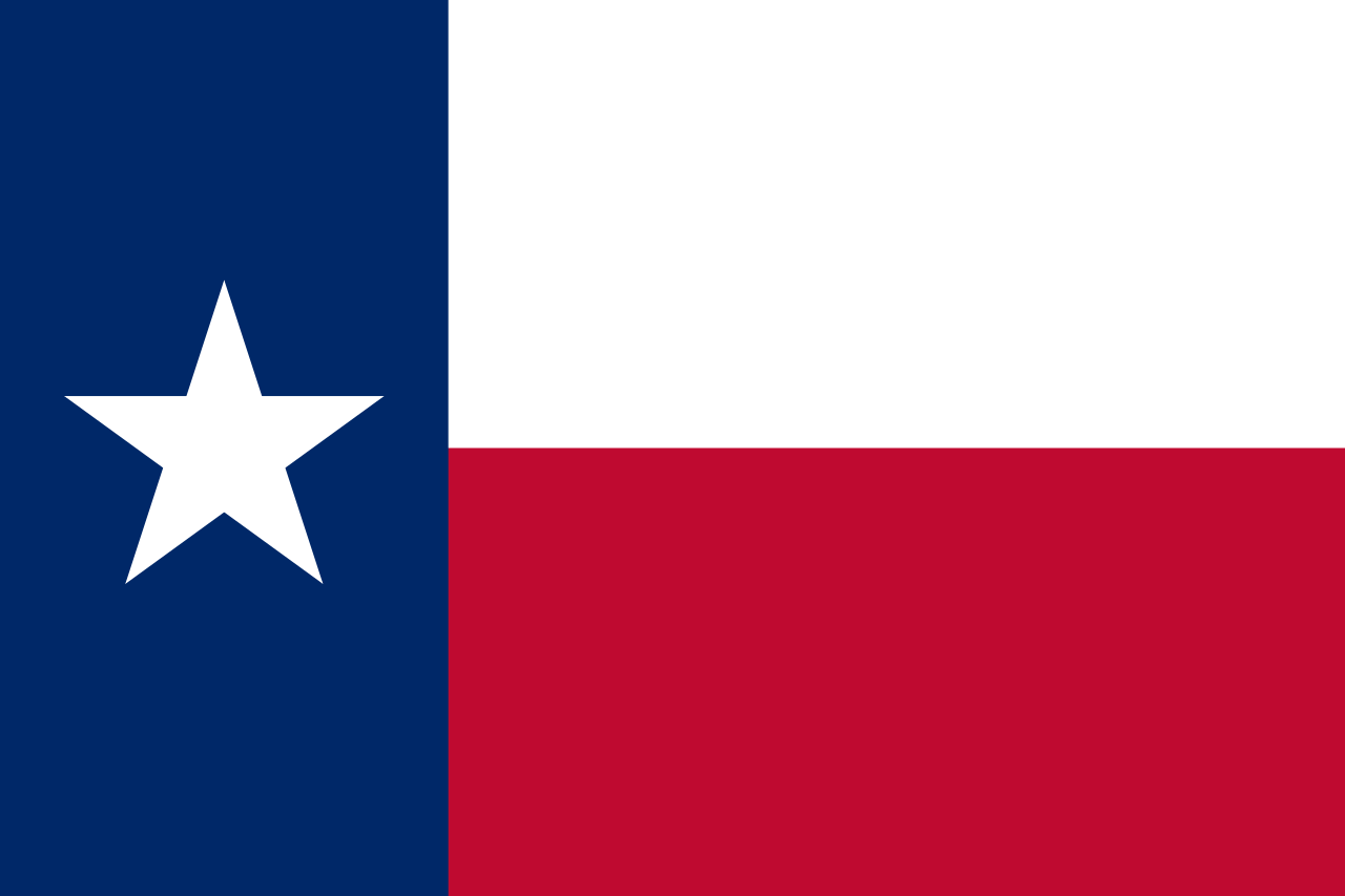 Texas-TX
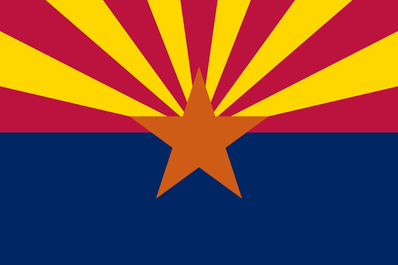 Arizona-AZ
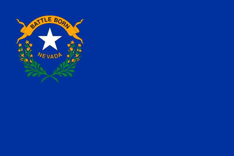 Nevada-NV
 Animal world
 Utah-UT
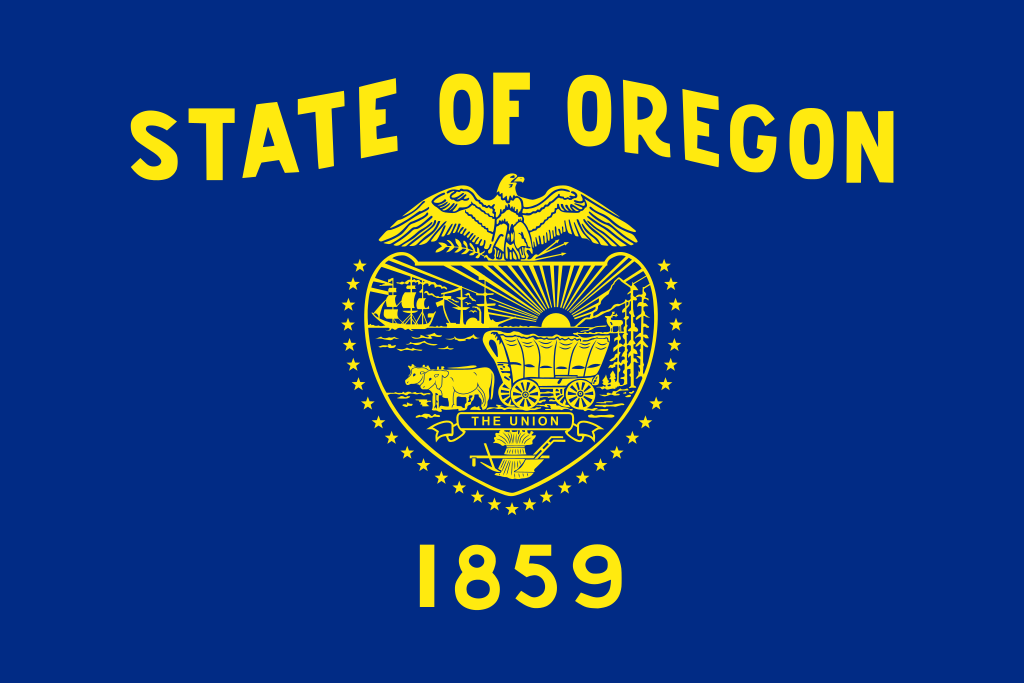 Oregon-OR
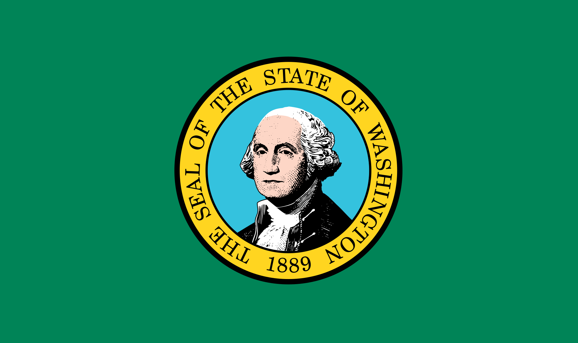 Washington-WA
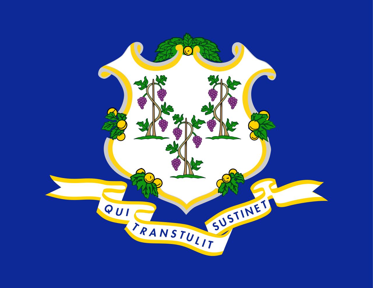 Connecticut-CT
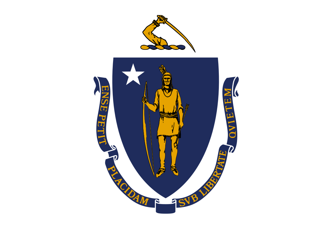 Massachusetts-MA
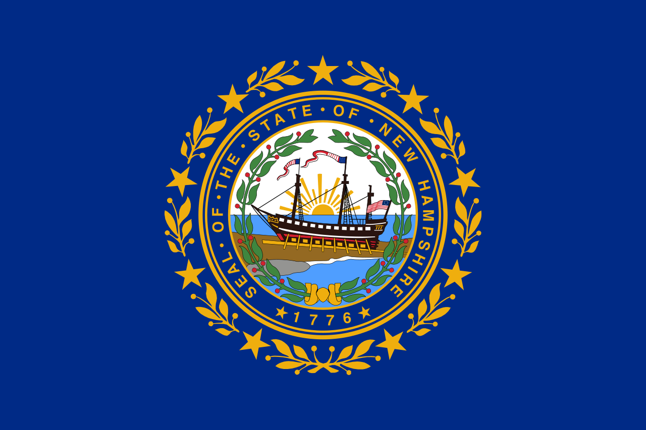 New hampshire-NH
 Vermont-VT
 New jersey-NJ
 New York-NY
 Maine-ME
 Quebec-QC