
Deutsch-Chinesische Enzyklopädie, 德汉百科

ウラル山脈東部を源流としマグニトゴルスクを経て南に流れる。ウラル山脈南部を回って、オルスクで南に流れるウラル川と南東から来るオリ川(露: Орь)とが合流し、ウラル川は西に流れを転じる。オレンブルクでサクマラ川が合流しカザフスタンに入る。オラルでまた流れを南に転じ、アティラウ近くの三角州でカスピ海に流れ込む。
The Ural (Russian: Урал, pronounced [ʊˈraɫ]), known as Yaik (Russian: Яик, Bashkir: Яйыҡ, romanized: Yayıq, pronounced [jɑˈjɯq]; Kazakh: Жайық, romanized: Jayıq, جايىق, pronounced [ʑɑˈjəq]) before 1775, is a river flowing through Russia and Kazakhstan in the continent border between Europe and Asia. It originates in the southern Ural Mountains and discharges into the Caspian Sea. At 2,428 kilometres (1,509 mi), it is the third-longest river in Europe after the Volga and the Danube, and the 18th-longest river in Asia. The Ural is conventionally considered part of the boundary between the continents of Europe and Asia.
The Ural arises near Mount Kruglaya in the Ural Mountains, flows south parallel and west of the north-flowing Tobol, through Magnitogorsk, and around the southern end of the Urals, through Orsk where it turns west for about 300 kilometres (190 mi), to Orenburg, where the river Sakmara joins. From Orenburg it continues west, passing into Kazakhstan, then turning south again at Oral, and meandering through a broad flat plain until it reaches the Caspian a few miles below Atyrau, where it forms a fine digitate delta.[2]
L'Oural (en russe : Урал, en bachkir : Яйыҡ, en kazakh : Жайық, Jayıq) est un fleuve de Russie et du Kazakhstan.
L'Oural s'est longtemps appelé Iaïk en russe1 (Яик). C'est Catherine II de Russie qui le renomme en 1775. L'Encyclopédie de Diderot et D'Alembert l'orthographie Jaïk2.
Il prend sa source dans le sud des monts Oural et se jette dans la mer Caspienne. D’une longueur de 2 428 km, il forme, depuis Tatichtchev (1686-1750), une partie de la frontière conventionnelle entre l’Europe et l’Asie3,4.
La source de l’Oural se trouve à environ 150 km au nord de la ville de Magnitogorsk. Le fleuve se dirige vers le sud, arrose Magnitogorsk, contourne l'extrémité méridionale des monts Oural et se dirige vers l'ouest sur 300 km, passant à Orsk, où il reçoit les eaux de la rivière Or (rg) et à Orenbourg, où il reçoit celles de la Sakmara (rd). Après Orenbourg, le fleuve pénètre au Kazakhstan, où il se dirige à nouveau vers le sud, traversant une large plaine en décrivant des méandres jusqu'à son embouchure sur la mer Caspienne, à quelques kilomètres au sud de la ville d'Atyraou. En se jetant dans la mer Caspienne, il forme un très fin delta en forme de « patte d’oie ».
L'Ural (in kazako Жайык, Žajyq), conosciuto come Jaik prima del 1775, è un fiume della Russia europea sudorientale (Oblast' di Orenburg e Repubblica Autonoma del Baškortostan), Siberia occidentale (Oblast' di Čeljabinsk) e Kazakistan (Regione di Atyrau e del Kazakistan Occidentale). Insieme ai Monti Urali, al Mar Caspio, alla Depressione del Kuma-Manyč, al Mar Nero e allo stretto del Bosforo e dei Dardanelli, segna il confine comunemente accettato tra Europa e Asia.
El río Ural (en ruso: Урал, Ural; en kazajo: Жайық, Zhayyq) es un río del extremo este de Europa o extremo oeste de Asia que nace al sur de los montes Urales y fluye en dirección sur-oeste-sur a través de Rusia y Kazajistán, hasta desembocar en el mar Caspio. Tradicionalmente se considera la frontera entre Europa y Asia. Con 2428 km es el tercero más largo de Europa, tras el Volga y el Danubio, y drena una cuenca de 231 000 km².
Administrativamente, discurre por el óblast de Oremburgo, el óblast de Cheliábinsk y la República Autónoma de Baskortostán, en la Federación Rusa, y por el oblys de Atyrau en Kazajistán.
Ура́л (до 1775 года — Яи́к; ног. Яйык; башк. Яйыҡ ![]() слушать, каз. Жайық) — река в Восточной Европе, протекает по территории России и Казахстана, впадает в Каспийское море. Является третьей по протяжённости рекой Европы, уступает по этому показателю только Волге и Дунаю[2]. Длина — 2428[3] км. Площадь водосборного бассейна — 231 000[3] км². Средний расход воды у с. Кушум — 400 м³/с[4].
слушать, каз. Жайық) — река в Восточной Европе, протекает по территории России и Казахстана, впадает в Каспийское море. Является третьей по протяжённости рекой Европы, уступает по этому показателю только Волге и Дунаю[2]. Длина — 2428[3] км. Площадь водосборного бассейна — 231 000[3] км². Средний расход воды у с. Кушум — 400 м³/с[4].
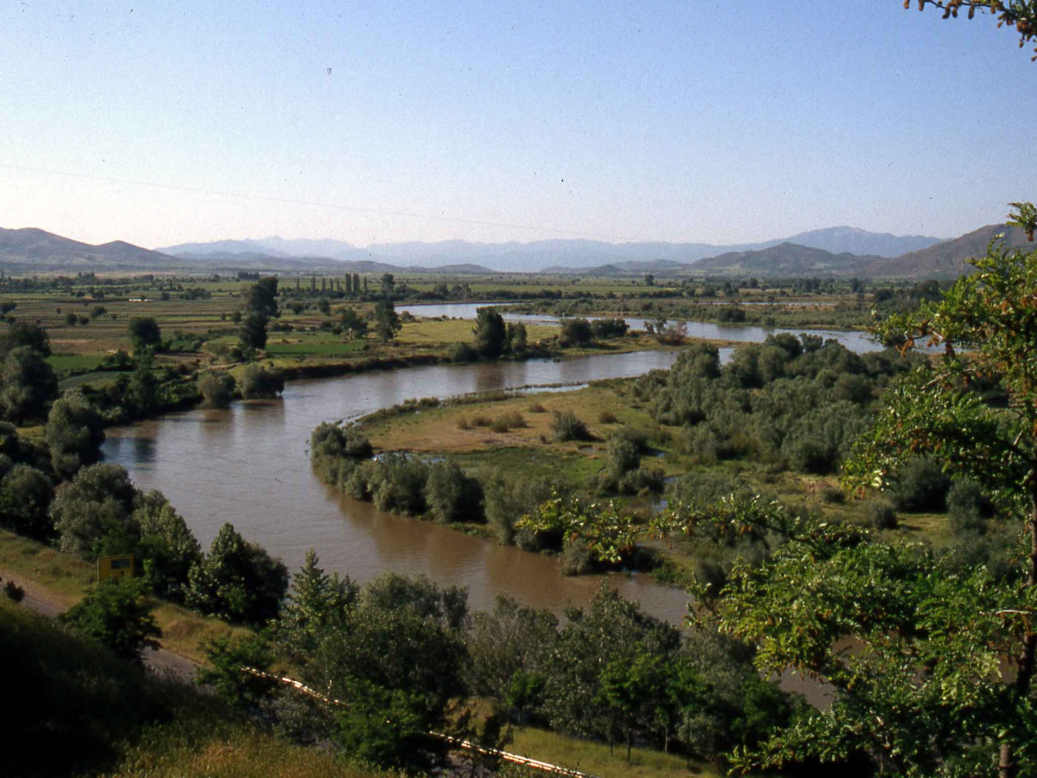
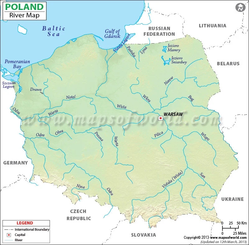
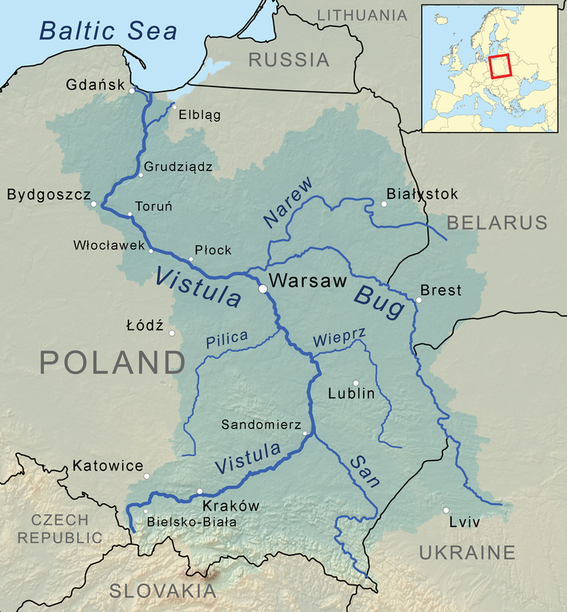
维斯瓦河(波兰语:Wisła,波兰语:[ˈvʲiswa](![]() 听)),又依英语译作维斯图拉河(英语:Vistula),是波兰最长的河流。全长1,047公里;流域面积194,424平方公里,占波兰国土面积的三分之二。
听)),又依英语译作维斯图拉河(英语:Vistula),是波兰最长的河流。全长1,047公里;流域面积194,424平方公里,占波兰国土面积的三分之二。
发源于波兰南部的喀尔巴阡山脉,维斯瓦河曲向北流,流经克拉科夫、华沙、托伦,在河口形成三角洲,最后注入波罗的海格但斯克湾。
Die Weichsel (polnisch Wisła ([ˈvʲiswa] ![]()
![]() ), tschechisch Visla, lateinisch Vistula) ist ein 1048 Kilometer langer und für europäische Verhältnisse weitgehend unregulierter und naturbelassener Strom und der längste Fluss in Polen. Das Einzugsgebiet umfasst auch Teile der Slowakei, Belarus’ und der Ukraine. Der längste Gewässerlauf in ihrem Flusssystem sind die 1213 Flusskilometer von der Quelle des Westlichen Bug bis zur Ostsee.
), tschechisch Visla, lateinisch Vistula) ist ein 1048 Kilometer langer und für europäische Verhältnisse weitgehend unregulierter und naturbelassener Strom und der längste Fluss in Polen. Das Einzugsgebiet umfasst auch Teile der Slowakei, Belarus’ und der Ukraine. Der längste Gewässerlauf in ihrem Flusssystem sind die 1213 Flusskilometer von der Quelle des Westlichen Bug bis zur Ostsee.
Auf alten Landkarten findet man auch die Schreibweisen W(e)ixel oder Wissel.


是只流经德国境内的河流中第二长的,仅次于美因河。其余更长的河流,如多瑙河、莱茵河、易北河、奥德河和摩泽尔河都有源头或者入海口在德国之外。威悉河流经黑森、北威、下萨克森和不来梅州。如果不以较短的从黑森州发源的富尔达河,而以更长的韦拉河作为正源的话,威悉河还流经图林根州。452km长的威悉河加上韦拉河共744km。


 Geography

 Emilia-Romagna
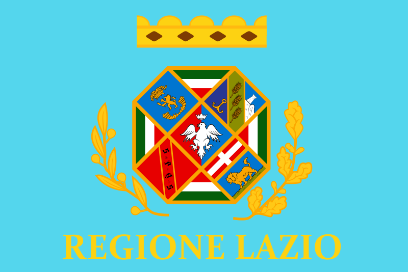 Lazio
Lazio
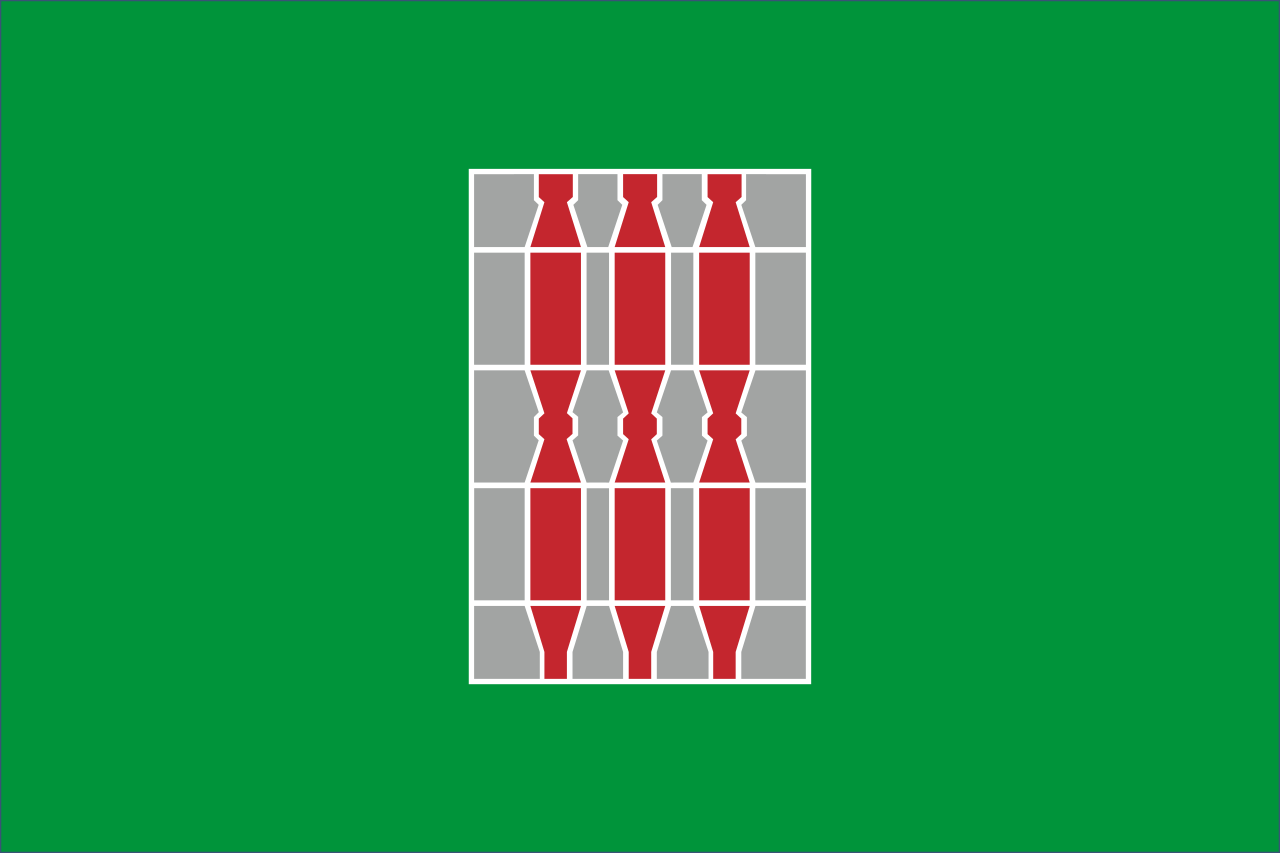 Umbria
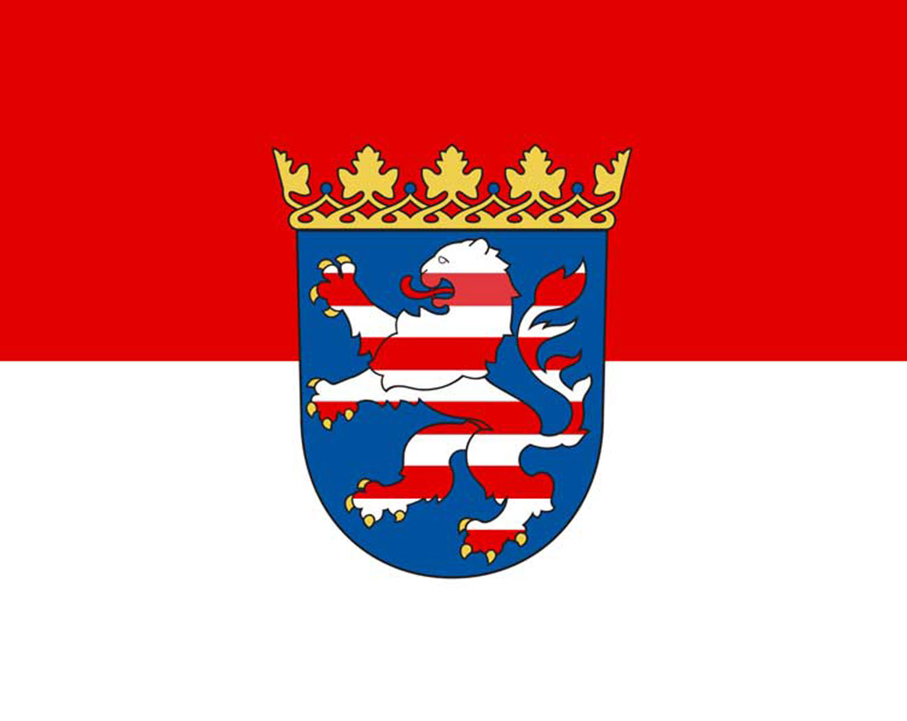 Hessen
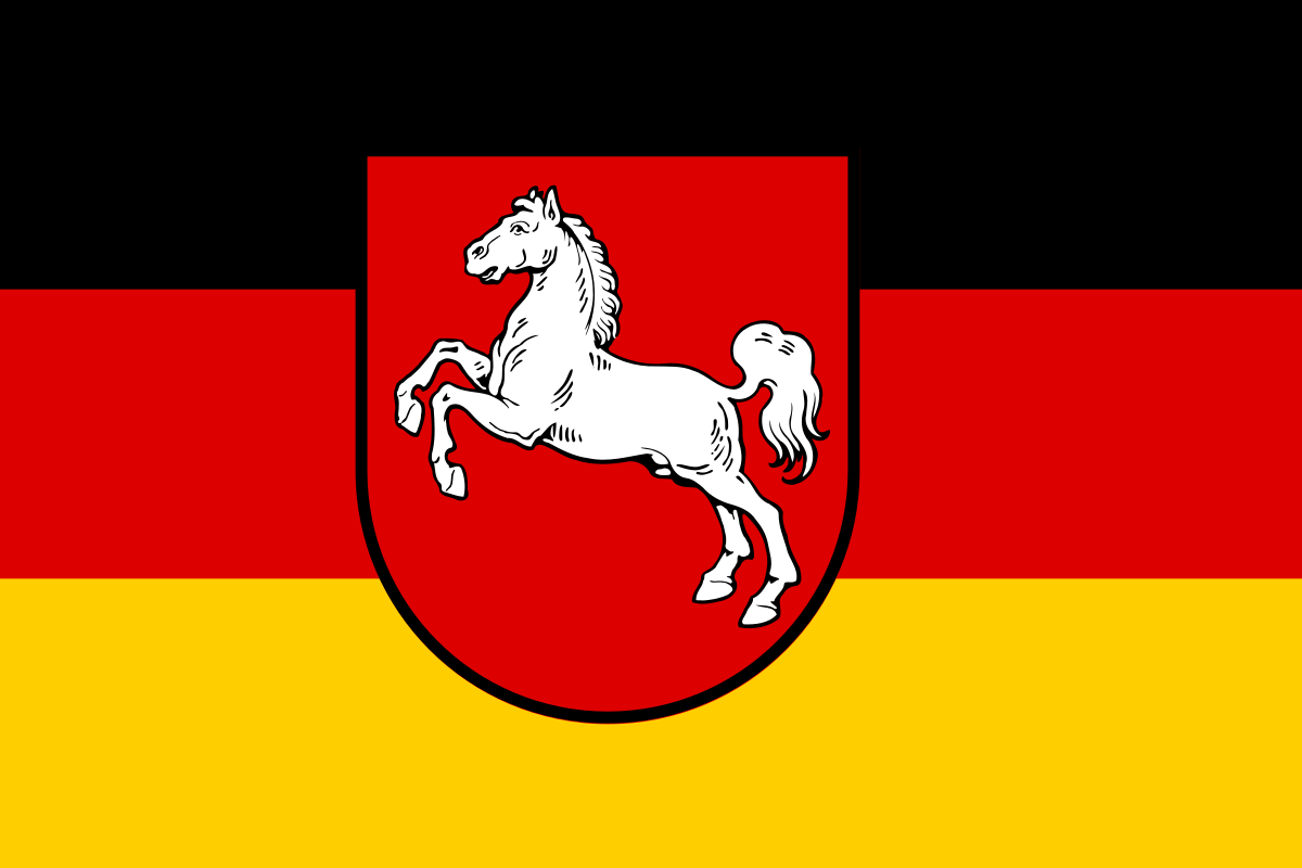 Lower Saxony
 Thuringia
 Vacation and Travel
 Bremen
 North Rhine-Westphalia
 Bourgogne-Franche-Comté
 Ile-de-France