Deutsch-Chinesische Enzyklopädie, 德汉百科

       
German — Chinese
Geography Mountains in Asia

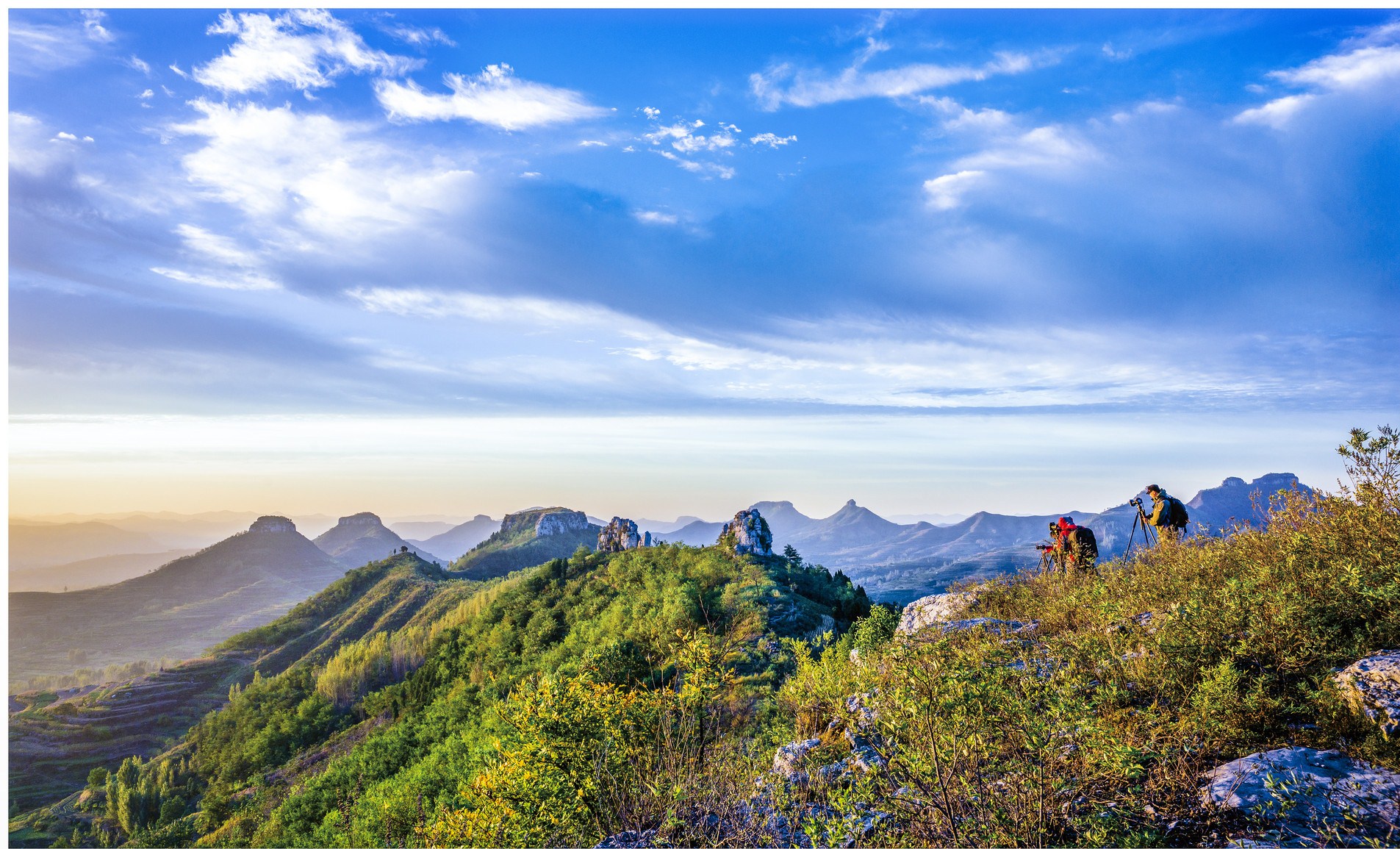
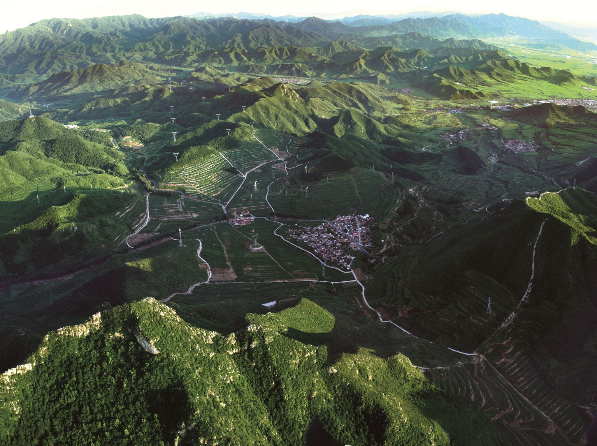
燕山
 http://www.net4info.de/photos/cpg/albums/userpics/10002/Yan20Shan20.jpg
中国北部著名山脉之一。战略要地。西起洋河,东至山海关,北接坝上高原,七老图山、努鲁儿虎山,西南以关沟与太行山相隔。南侧为河北平原,高差大。滦河切断此山,形成峡口——喜峰口,潮河切割形成古北口等,自古为南北交通孔道。在军事中也很有地位,古代与近代战争中,常常是兵家必争之地
东西长约420千米,南北最宽处近200千米,海拔600~1500米,主峰东猴顶,海拔2292.6米。其范围有广义与狭义之分。
广义燕山系指坝上高原以南,河北平原以北,白河谷地以东,山海关以西的山地,狭义则指上述范围内窄岭、波罗诺、中关、大仗子一线以南的山地。
山区有密云潘家口燕下都1号建筑基址水库。主峰东猴顶,海拔2292.6米;雾灵山,海拔2116米;八仙桌子,海拔1052米;都山,海拔1846米;大青山,海拔1224米。矿藏丰富。


This image, video or audio may be copyrighted. It is used for educational purposes only. If you find it, please notify us byand we will remove it immediately.
雁荡山
/assets/contentimages/Yan20Dang20Shan20.JPG
雁荡山以山水奇秀闻名,素有“海上名山、寰中绝胜”之誉,史称中国“东南第一山”  ,主体位于浙江省温州市东北部海滨,小部在台州市温岭南境。雁荡山形成于一亿二千万年以前,是环太平洋大陆边缘火山带中一座日至纪流纹质破火地。《载敬堂集》载:“雁荡山以瓯江自然断裂,分北雁荡山南雁荡山。以景观区位分有北雁荡山、南雁荡山、西雁荡山东雁荡山中雁荡山之称。”其开山凿胜始于南北朝,兴于唐,盛于宋。历代文人墨客纷至沓来,谢灵运、沈括、徐霞客张大千郭沫若等都留下了诗篇和墨迹。
This image, video or audio may be copyrighted. It is used for educational purposes only. If you find it, please notify us byand we will remove it immediately.
叶斗峰
http://www.net4info.de/photos/cpg/albums/userpics/10001/Xie20Dou20Feng20.jpg
This image, video or audio may be copyrighted. It is used for educational purposes only. If you find it, please notify us byand we will remove it immediately.
沂山
http://www.net4info.de/photos/cpg/albums/userpics/10001/Yi20Shan20.jpg
This image, video or audio may be copyrighted. It is used for educational purposes only. If you find it, please notify us byand we will remove it immediately.
沂蒙山
This image, video or audio may be copyrighted. It is used for educational purposes only. If you find it, please notify us byand we will remove it immediately.
鹦哥岭山脉

This image, video or audio may be copyrighted. It is used for educational purposes only. If you find it, please notify us byand we will remove it immediately.
陰山山脈 阴山山脉
阴山山脉,蒙古语名即“达兰喀喇”(蒙古语:ᠳᠠᠯᠤ ᠶᠢᠨ ᠬᠠᠷ᠎ᠠ,西里尔字母:Далын Хар),位于中华人民共和国北部,东起河北省西北部的桦山,西止于内蒙古巴彦淖尔盟中部的狼山,东西长1200多公里,南北宽50至100公里,横亘于内蒙古自治区中部,是黄河流域的北部天然界线,亦是河套地区的北部屏障,是古代汉族地区的北缘。山脉的平均海拔高度在1500至2300米,呼和浩特以西相对高差较大,地势高峻,脉络分明,主峰巴什喀,海拔2365米,母峰为贺兰山。南坡山势陡峭,北坡较为平缓。

阴山山脉蒙古语名即“达兰喀喇”(蒙古语:ᠳᠠᠯᠤ ᠶᠢᠨ
ᠬᠠᠷ᠎ᠠ,西里尔字母:Далын Хар)[1],位于中华人民共和国北部,东起河北省西北部的桦山,西止于内蒙古巴彦淖尔盟中部的狼山,东西长1200多公里,南北宽50至100公里,横亘于内蒙古自治区中部,是黄河流域的北部天然界线,亦是河套地区的北部屏障,是古代汉族地区的北缘。山脉的平均海拔高度在1500至2300呼和浩特以西相对高差较大,地势高峻,脉络分明,主峰巴什喀,海拔2365米,母峰贺兰山。南坡山势陡峭,北坡较为平缓。

This image, video or audio may be copyrighted. It is used for educational purposes only. If you find it, please notify us byand we will remove it immediately.
醫巫閭山 医巫闾山

This image, video or audio may be copyrighted. It is used for educational purposes only. If you find it, please notify us byand we will remove it immediately.
月亮山
http://www.net4info.de/photos/cpg/albums/userpics/10002/Gui20Zhou20Yue20Liang20Shan20.jpg
This image, video or audio may be copyrighted. It is used for educational purposes only. If you find it, please notify us byand we will remove it immediately.
玉龙雪山

 /assets/contentimages/Yu20Long20Xue20Shan20~0.jpg

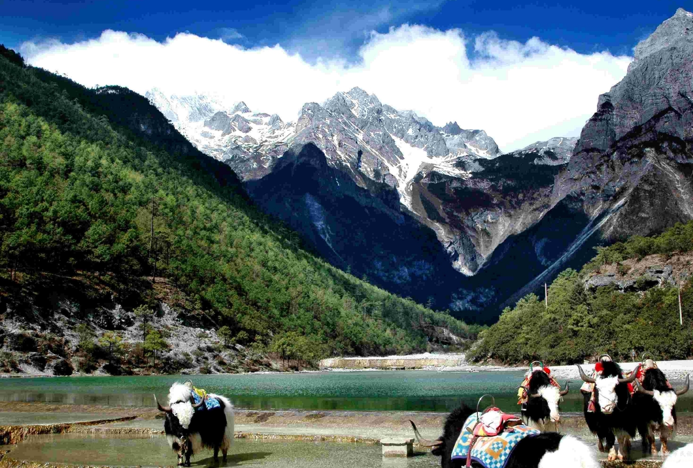
玉龙雪山位于云南丽江玉龙纳西族自治县境内,丽江市区北面15公里外,玉龙雪山海拔5596米,是国家5A级风景名胜区、云南省级自然保护区[1]北半球最南的大雪山。南北长35公里,东西宽13公里,面积960Km²,高山雪域风景位于海拔4000米以上,以险、奇、美、秀著称于世,随着时令和阴晴的变化,有时云蒸霞蔚、玉龙时隐时现;有时碧空如水,群峰晶莹耀眼;有时云带束腰,云中雪峰皎洁,云下岗峦碧翠;有时霞光辉映,雪峰如披红纱,娇艳无比。整个玉龙雪山集亚热带温带寒带的各种自然景观于一身,构成独特的“阳春白雪”主体景观。雨雪新晴之后,雪格外的白,松格外的绿,掩映生态,移步换形,很像是白雪和绿松在捉迷藏,蔚为奇观

This image, video or audio may be copyrighted. It is used for educational purposes only. If you find it, please notify us byand we will remove it immediately.
玉龙雪山
/assets/contentimages/Yu20Long20Xue20Shan20~0.jpg

Das Yulong Xueshan (chinesisch 玉龍雪山 / 玉龙雪山Pinyin Yùlóngxuě Shān ‚Jadedrachen-Schneegebirge‘) ist ein Bergmassiv unweit von Lijiang im Nordwesten der Provinz Yunnan in der Volksrepublik China. Der höchste Gipfel ist der 5596 m hohe Shanzidou (扇子陡). Die eine Seite des Massivs formt die eine Kante der Tiger-Sprung-Schlucht (虎跳峡).

This image, video or audio may be copyrighted. It is used for educational purposes only. If you find it, please notify us byand we will remove it immediately.
云台山
http://www.net4info.de/photos/cpg/albums/userpics/10002/Lian20Yun20Gang20Shi20Yun20Tai20Shan20.jpg
This image, video or audio may be copyrighted. It is used for educational purposes only. If you find it, please notify us byand we will remove it immediately.