
Deutsch-Chinesische Enzyklopädie, 德汉百科
 England
 Vacation and Travel
Belgium
Amber Road
Vacation and Travel
Belgium
Amber Road
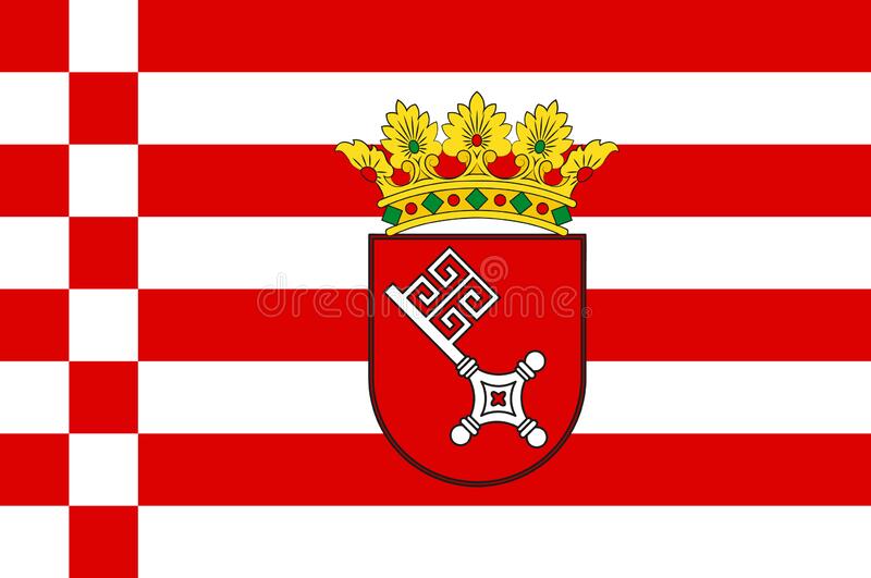 Bremen
Denmark
Germany
England
France
Bremen
Denmark
Germany
England
France
 Geography
Netherlands
Geography
Netherlands
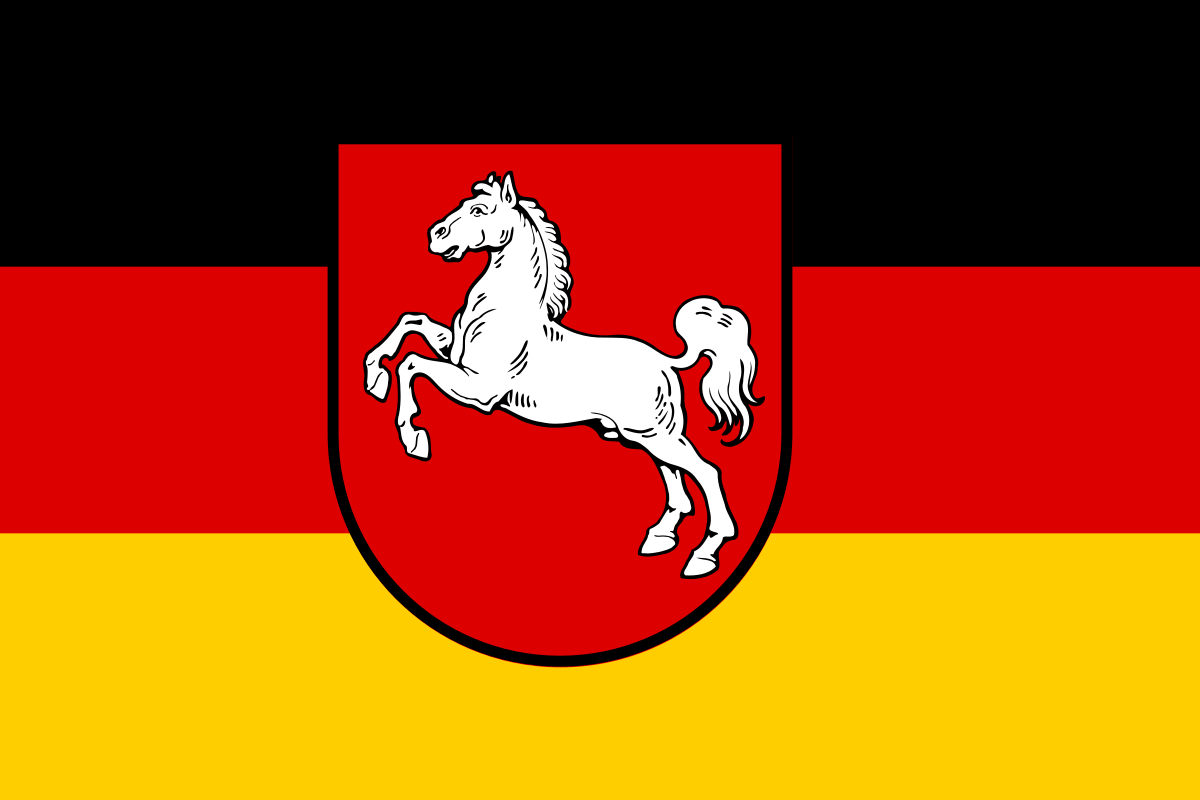 Lower Saxony
Kiel Canal
Norwegen
Lower Saxony
Kiel Canal
Norwegen
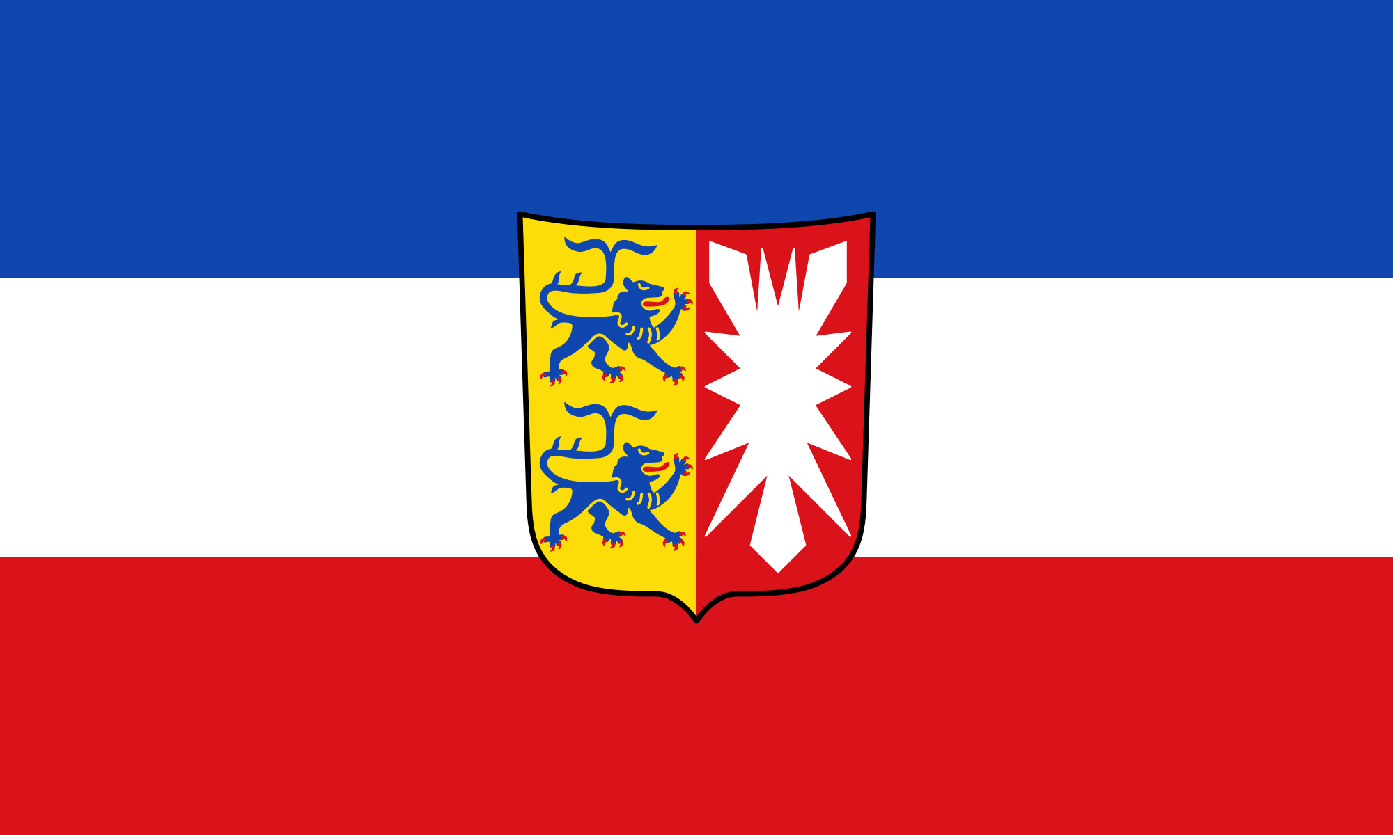 Schleswig-Holstein
Sweden
United Kingdom
Schleswig-Holstein
Sweden
United Kingdom

北海(挪威语:Nordsjøen;瑞典语:Nordsjön;丹麦语:Nordsøen或Vesterhavet;德语:Nordsee;荷兰语:Noordzee;法语:Mer du Nord;英语:North Sea)是北大西洋的一部分,位于大不列颠岛以东,斯堪的纳维亚半岛西南和欧洲大陆以北。北海海底有丰富的石油储藏,作为布兰特原油指数的基础。
北海向西南通过多佛尔海峡(法国称加来海峡)和英吉利海峡(法国称拉芒什海峡)与凯尔特海相通,向东通过斯卡格拉克海峡和卡特加特海峡与波罗的海相连,向北是挪威海。
斯凯尔特河、默兹河、莱茵河、威悉河、易北河和泰晤士河是注入北海的主要河流。重要的岛屿或群岛有北弗里西亚群岛、黑尔戈兰岛、东弗里西亚群岛和西弗里西亚群岛。
北海周边的国家有英国、挪威、瑞典、丹麦、德国、荷兰、比利时和法国。重要城市有阿伯丁、爱丁堡、加来、奥斯坦、鹿特丹、海牙、哈勒姆、威廉港、不来梅哈芬、库克斯港、埃斯比约、卑尔根、哥德堡等等。此外伦敦、不来梅哈芬和汉堡是北海重要的内陆港城。
Die Nordsee (veraltet Westsee, Deutsches Meer[2]) ist ein Randmeer des Atlantischen Ozeans. Sie ist ein Schelfmeer und liegt im nordwestlichen Europa. Bis auf die Meerengen beim Ärmelkanal und beim Skagerrak ist sie auf drei Seiten von Land begrenzt und öffnet sich trichterförmig zum nordöstlichen Atlantik. In einem 150-Kilometer-Bereich an der Küste leben rund 80 Millionen Menschen.
Die Nordsee selbst ist ein wichtiger Handelsweg und dient als Weg Mittel- und Nordeuropas zu den Weltmärkten. Die südliche Nordsee ist zusammen mit dem angrenzenden Ärmelkanal die am dichtesten befahrene Schifffahrtsregion der Welt. Unter dem Meeresboden befinden sich größere Erdöl- und Erdgasreserven, die seit den 1970er Jahren gefördert werden. Kommerzielle Fischerei hat den Fischbestand des Meeres in den letzten Jahrzehnten vermindert. Umweltveränderungen entstehen auch dadurch, dass die Abwässer aus Nordeuropa und Teilen Mitteleuropas direkt oder über die angrenzende Ostsee in das Meer fließen.
北海(ほっかい、英語 North Sea、ドイツ語 Nordsee、フランス語 Mer du Nord、オランダ語 Noordzee、デンマーク語 Nordsøen、ノルウェー語 Nordsjøen)は、大西洋の付属海。古名はゲルマン海(ラテン語 Mare Germanicum、英語 German Ocean)。
東はノルウェー、デンマーク、南はドイツ、オランダ、ベルギー、フランス、西はイギリス、北はオークニー諸島・シェトランド諸島に囲まれている。東はスカゲラク海峡・カテガット海峡およびキール運河でバルト海に、北はノルウェー海に、南はドーバー海峡・イギリス海峡で大西洋に繋がっている。南北の長さは970km、東西は580km、面積は75万km2、水量は94000km3である[1]。
北海に流れ込む主な川はエルベ川、ヴェーザー川、エムス川、ライン川などがある。なかでも、最も北海に影響を及ぼす河川はエルベ川とライン川・ムーズ川である[2]。北海の集水域にはおよそ1億8500万人が暮らしており、また世界で最も工業化された地方のうちのひとつが含まれている[3]。
北海油田と総称される油田・ガス田が多数あり、ヨーロッパの貴重なエネルギー源である。
The North Sea is a sea of the Atlantic Ocean located between Great Britain (England and Scotland), Denmark, Norway, Germany, the Netherlands, Belgium and France. An epeiric (or "shelf") sea on the European continental shelf, it connects to the ocean through the English Channel in the south and the Norwegian Sea in the north. It is more than 970 kilometres (600 mi) long and 580 kilometres (360 mi) wide, with an area of 570,000 square kilometres (220,000 sq mi).
The North Sea has long been the site of important European shipping lanes as well as a major fishery. The coast is a popular destination for recreation and tourism in bordering countries, and more recently the sea has developed into a rich source of energy resources, including fossil fuels, wind, and early efforts in wave power.
Historically, the North Sea has featured prominently in geopolitical and military affairs, particularly in Northern Europe. It was also important globally through the power northern Europeans projected worldwide during much of the Middle Ages and into the modern era. The North Sea was the centre of the Vikings' rise. Subsequently, the Hanseatic League, the Dutch Republic, and the British each sought to gain command of the North Sea and thus access to the world's markets and resources. As Germany's only outlet to the ocean, the North Sea continued to be strategically important through both World Wars.
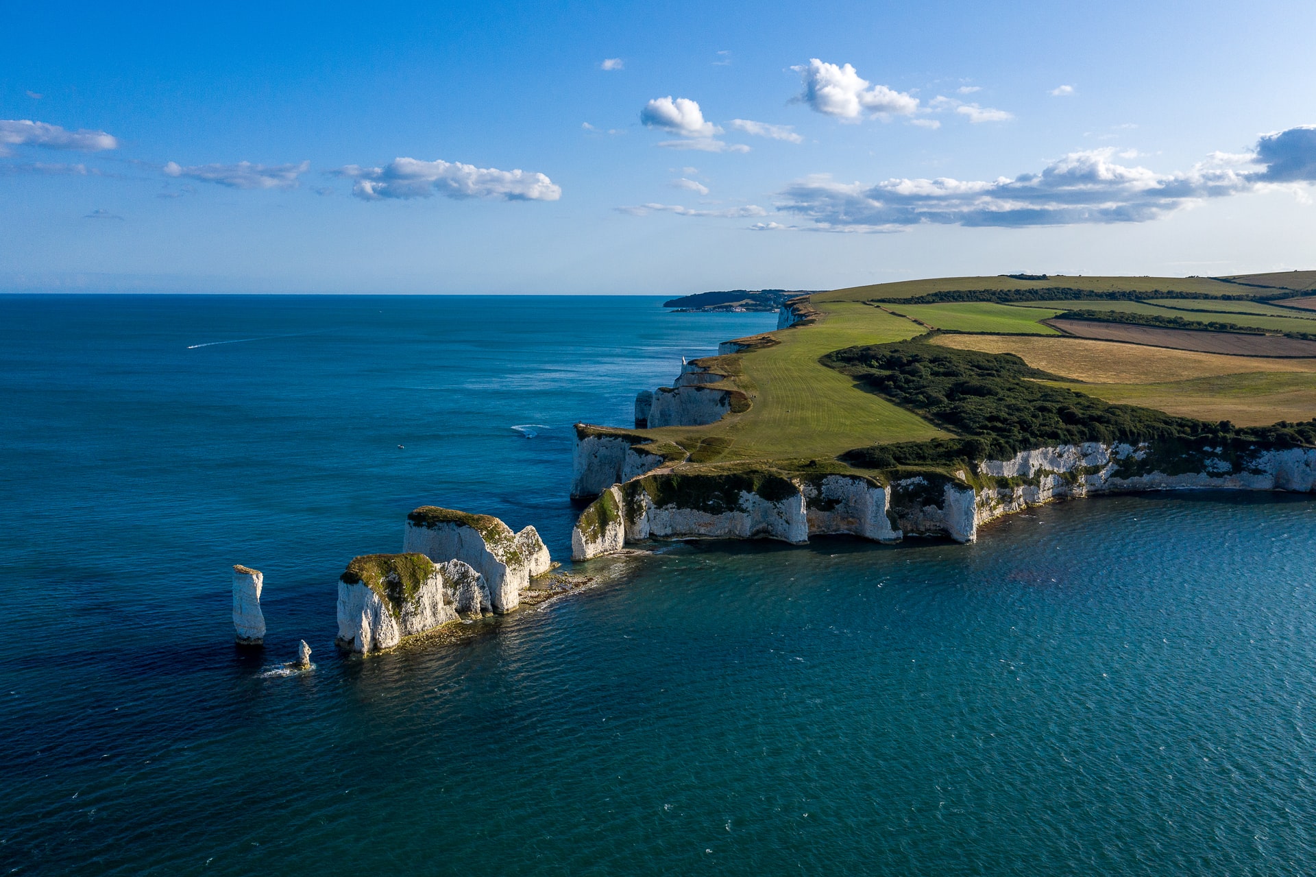
The coast of the North Sea presents a diversity of geological and geographical features. In the north, deep fjords and sheer cliffs mark the Norwegian and Scottish coastlines, whereas in the south, the coast consists primarily of sandy beaches and wide mudflats. Due to the dense population, heavy industrialization, and intense use of the sea and area surrounding it, there have been various environmental issues affecting the sea's ecosystems. Adverse environmental issues – commonly including overfishing, industrial and agricultural runoff, dredging, and dumping, among others – have led to a number of efforts to prevent degradation of the sea while still making use of its economic potential.
La mer du Nord est une mer épicontinentale de l'océan Atlantique, située au nord-ouest de l'Europe, et qui s'étend sur une superficie d'environ 575 000 km2.
Les pays qui bordent la mer du Nord sont le Royaume-Uni (île de Grande-Bretagne) à l'ouest ; les îles Shetland et Orcades au nord-ouest ; la Norvège au nord-est; le Danemark à l'est ; l'Allemagne au sud-est ; enfin les Pays-Bas, la Belgique et la France (pour 50 km de littoral entre Calais et la frontière belge) au sud. Elle communique avec la Manche par le pas de Calais au sud-sud-ouest ; avec l'océan Atlantique au nord-ouest et la mer de Norvège au nord ; avec le Skagerrak à l'est. Le canal de Kiel permet aux navires de rejoindre la mer Baltique.
Elle constitue une zone de fort transit maritime, d'exploitation pétrolière et de pêche. La mer du Nord et son littoral forment un milieu naturel très riche, mais la pollution marine, la surpêche, l'industrie pétrolière (plates-formes offshore) et le tourisme sont sources de menaces pour l'avenir. Elle est en aval du centre de l'Europe industrielle, de l'estuaire du Rhin aux fjords norvégiens et aux falaises du nord de la Grande-Bretagne. Le secteur Manche/Sud-mer du Nord, incluant le pas de Calais est considéré comme représentatif de mers mégatidales peu profondes, caractérisées par un fort courant et une eau très turbide (en raison des courants et phénomènes de renversement de marées), ce qui en fait une zone écologiquement particulière, mais également vulnérable au risque maritime en raison d'un intense trafic maritime (marchand et passager).
Il mare del Nord (in danese Nordsøen; in francese Mer du Nord; in inglese North Sea; in norvegese Nordsjøen;in olandese Noordzee; in svedese Nordsjön; in tedesco Nordsee) è un mare epicontinentale dell'Europa nord-occidentale che comunica con l'oceano Atlantico tramite il mare di Norvegia a nord e la Manica a sud; suo tributario è il Mar Baltico, ad esso collegato tramite gli stretti scandinavi di Skagerrak e Kattegat. Si estende per circa 970 km di lunghezza in direzione nord-sud e 560 km di larghezza in direzione est-ovest, e ha una superficie totale di circa 570000 km²[1]. Accoglie una considerevole parte dei bacini idrografici dell'Unione europea.
El mar del Norte es un mar marginal del océano Atlántico, situado entre las costas de Noruega y Dinamarca en el este, las de las islas británicas al oeste y las de Alemania, los Países Bajos, Bélgica y Francia al sur. El Skagerrak constituye una especie de bahía al este del mar, la cual lo conecta con el Báltico a través del Kattegat; también está conectado con el Báltico mediante el canal de Kiel. El canal de la Mancha lo conecta al resto del Atlántico por el sur, mientras que por el norte conecta en través del mar de Noruega, que es el nombre que adopta el mar al norte de las islas Shetland.
Las mareas son bastante irregulares ya que confluyen en él una corriente proveniente del norte y otra del sur. Hay mucha lluvia y niebla durante todo el año, y del noroeste vienen violentas tormentas que hacen la navegación peligrosa.
Tiene una superficie de unos 750 000 km²,1 una longitud aproximada de 960 km y una anchura máxima de 480 km. Es un mar muy poco profundo, con una profundidad media de 95 metros: el hecho que en el banco Dogger, en medio del mar y a una profundidad de unos 25 metros, se hayan encontrado restos de mamuts prueba que durante la última glaciación o bien estaba cubierto de hielo o bien estaba emergido. Con el deshielo, el banco se convirtió en una especie de último reducto en forma de isla.
Durante la Edad Antigua este mar se conocía como Oceanum o Mare Germanicum. El nombre actual se cree que surgió desde el punto de vista de las islas Frisias, desde donde quedaba totalmente al norte, y por oposición al mar del Sur (el mar de Frisia y el Zuiderzee, en los Países Bajos). A la larga, el nombre actual se acabó imponiendo, de manera que ya era predominante durante la Edad Moderna. En la citada Edad Moderna fue común llamar Mar del Norte o Mar del Nord a todo el océano Atlántico, siendo por contrapartida llamado «Mar del Sur» o «Mar del Sud» todo el océano Pacífico.
Según las lenguas oficiales de los estados que lo rodean, se denomina Mer du Nord, en francés; Noordzee, en neerlandés; Nordsee, en alemán; Nordsjön, en sueco; Nordsøen, en danés; Nordsjøen, en noruego; y North Sea en inglés. En frisón se dice Noardsee y en gaélico escocés A' Mhuir en Tuath.
Tiene importantes yacimientos de petróleo y gas natural, los cuales comenzaron a explotarse en los años 1970.
Се́верное мо́ре (ранее также Немецкое море[3]; фр. Mer du Nord, нем. Nordsee, нидерл. Noordzee, з.-фриз. Noardsee, англ. North Sea, норв. Nordsjøen, дат. Nordsøen или Vesterhavet) — мелководное шельфовое море Атлантического океана, омывающее берега северной Европы. Расположено между Британскими островами на западе, Ютландским, Скандинавским полуостровами на востоке и континентальной Европой на юге. Омывает берега Норвегии, Дании, Германии, Нидерландов, Бельгии, Франции и Великобритании.
Площадь — 750 тыс. км²[1]. Наибольшая глубина 725 м[2]. Более 2/3 моря имеет глубину менее 100 м; в южной части — отмели (банка Доггер и др.). Впадают крупные реки: Эльба, Везер, Рейн, Темза. Основные порты: Роттердам, Амстердам, Антверпен, Лондон, Гамбург, Осло, Берген[2].
Прибрежная мелководная часть на юге иногда выделяется под названием Ваттового моря.


 Automobile

 Companies

 International cities


 IT-Times
 Media and press

通信管理局(英语:Office of Communications,威尔士语:Y Swyddfa Gyfathrebiadau),通称Ofcom,是英国的一个政府机构,主要监管英国的广播、电讯和邮政行业[1][2],其权责类似美国的FCC。Ofcom成立于2003年通信法案通过之后。现在英国的大部分广播电视事务由Ofcom管理。
Das Office of Communications (Ofcom) ist die britische Medienaufsichtsbehörde in Form einer Körperschaft des öffentlichen Rechts. Sie wurde als „Oberbehörde“ für die neuen Anforderungen durch die immer stärkere Überlappung der verschiedenen Massenmedien 2002 durch den Office of Communications Act begründet. Volle Autorität erhielt sie durch den Communications Act von 2003. Am 29. Dezember 2003 wurden Ofcom die Aufgaben übertragen, die zuvor im Zuständigkeitsbereich von fünf anderen Aufsichtsbehörden lagen. Der Sitz der Behörde ist in London.


Der Old Course in St Andrews, Schottland, ist laut Royal and Ancient Golf Club of St Andrews der älteste noch existierende Golfplatz der Welt.
 Architecture

Veranstaltungen Fußball-Weltmeisterschaft 1966 Fußball-Europameisterschaft 1996 Endspiel UEFA Champions League 2002/03 Spiele der englischen Fußball-Nationalmannschaft Endspiele der Super League (Rugby League) Fußballturnier der Olympischen Sommerspiele 2012 Endspiel Rugby-League-Weltmeisterschaft 2000 und 2013 Endspiele der Rugby-League-Weltmeisterschaft 2021 Fußball-Europameisterschaft der Frauen 2022

 History
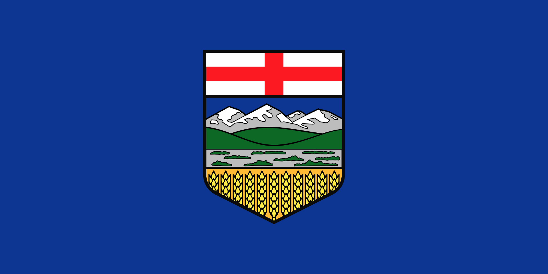 Alberta-AB
Australia
Alberta-AB
Australia
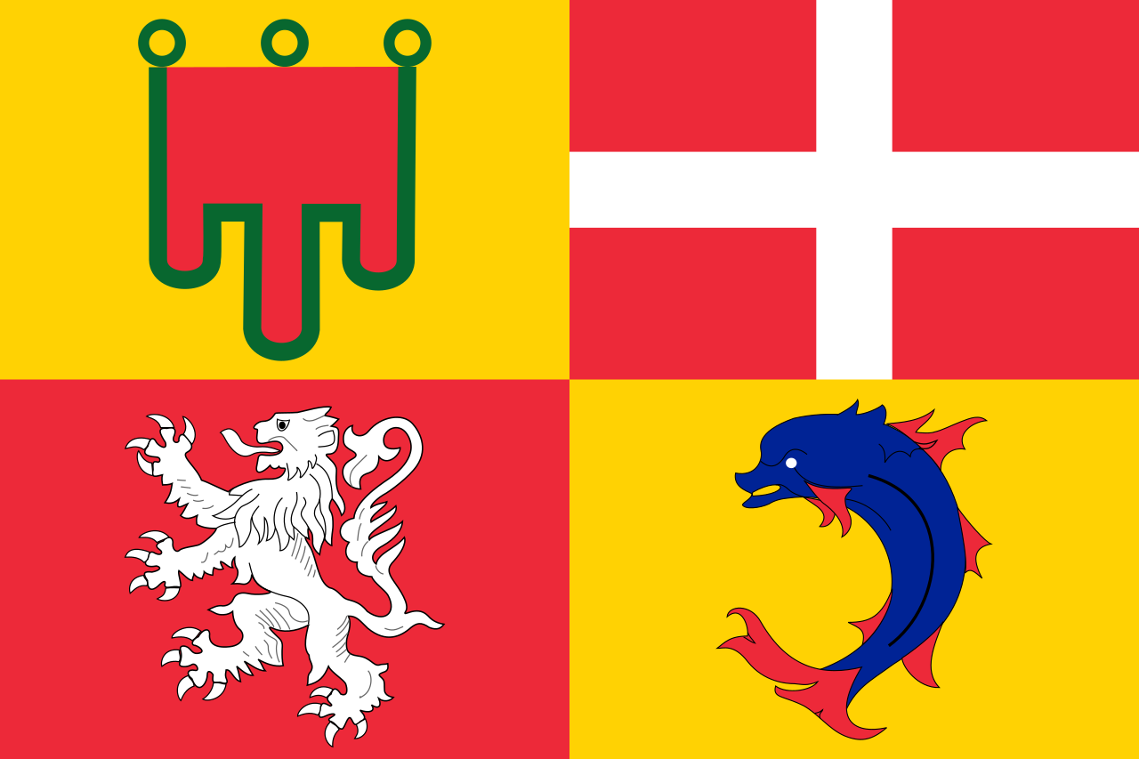 Auvergne-Rhône-Alpes
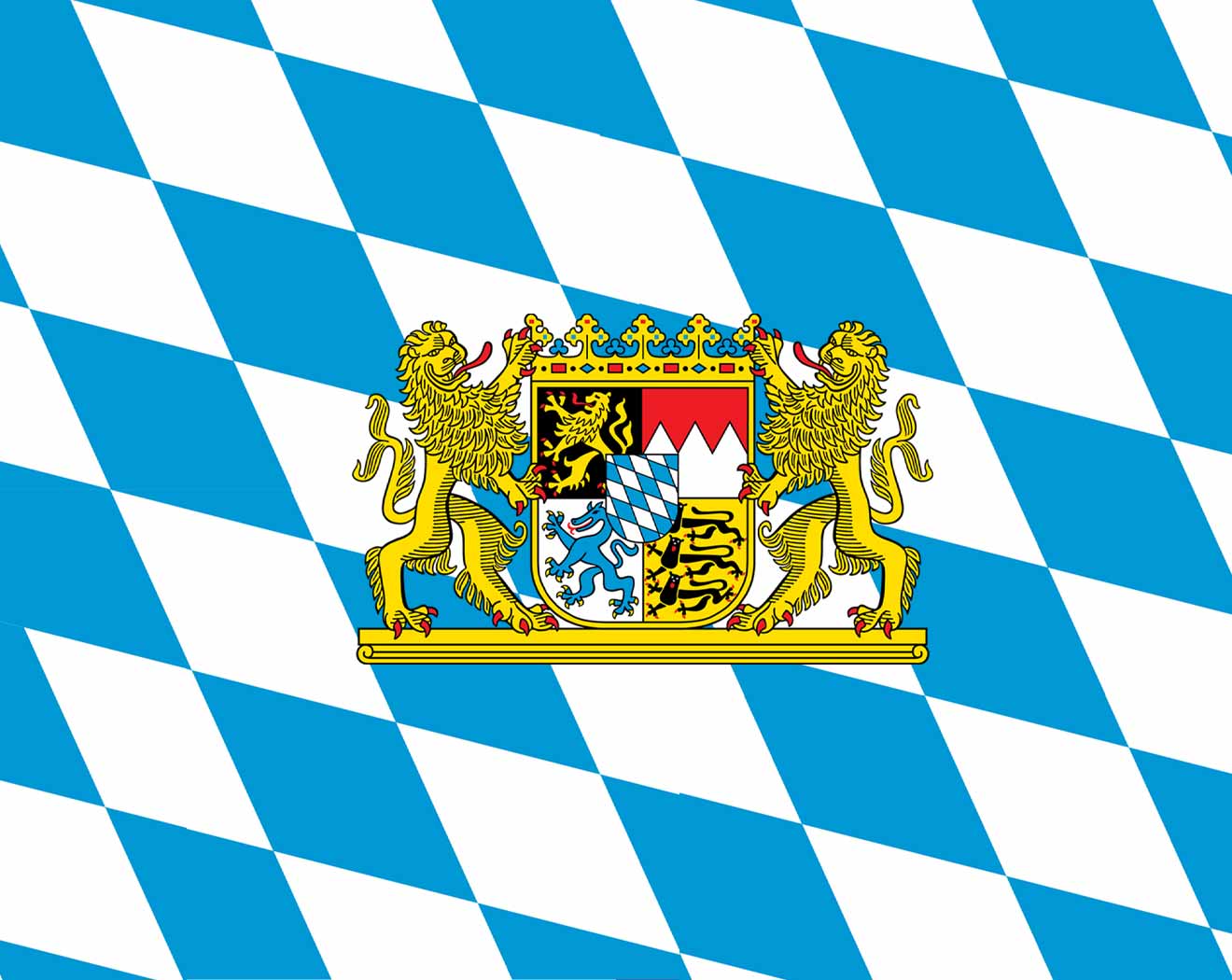 Bavaria
Beijing Shi-BJ
Belgium
Bavaria
Beijing Shi-BJ
Belgium
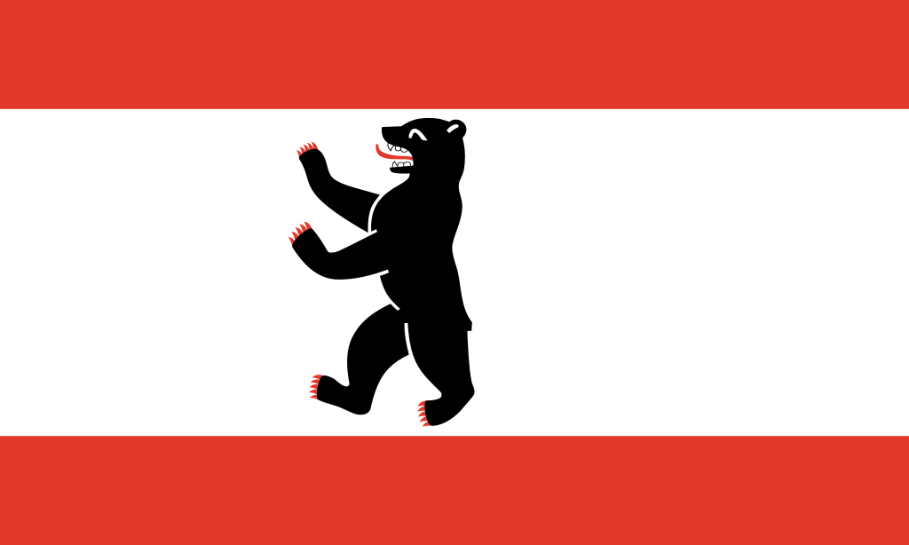 Berlin
Bosnia Herzegovina
Brazil
Berlin
Bosnia Herzegovina
Brazil
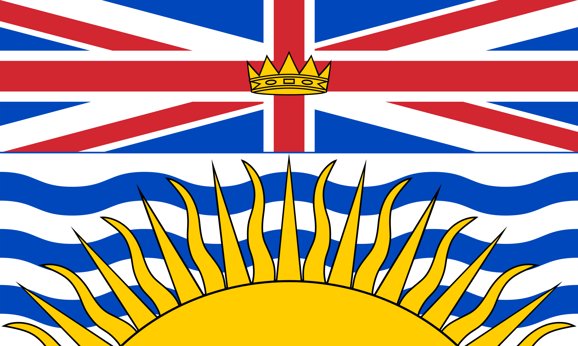 British Columbia-BC
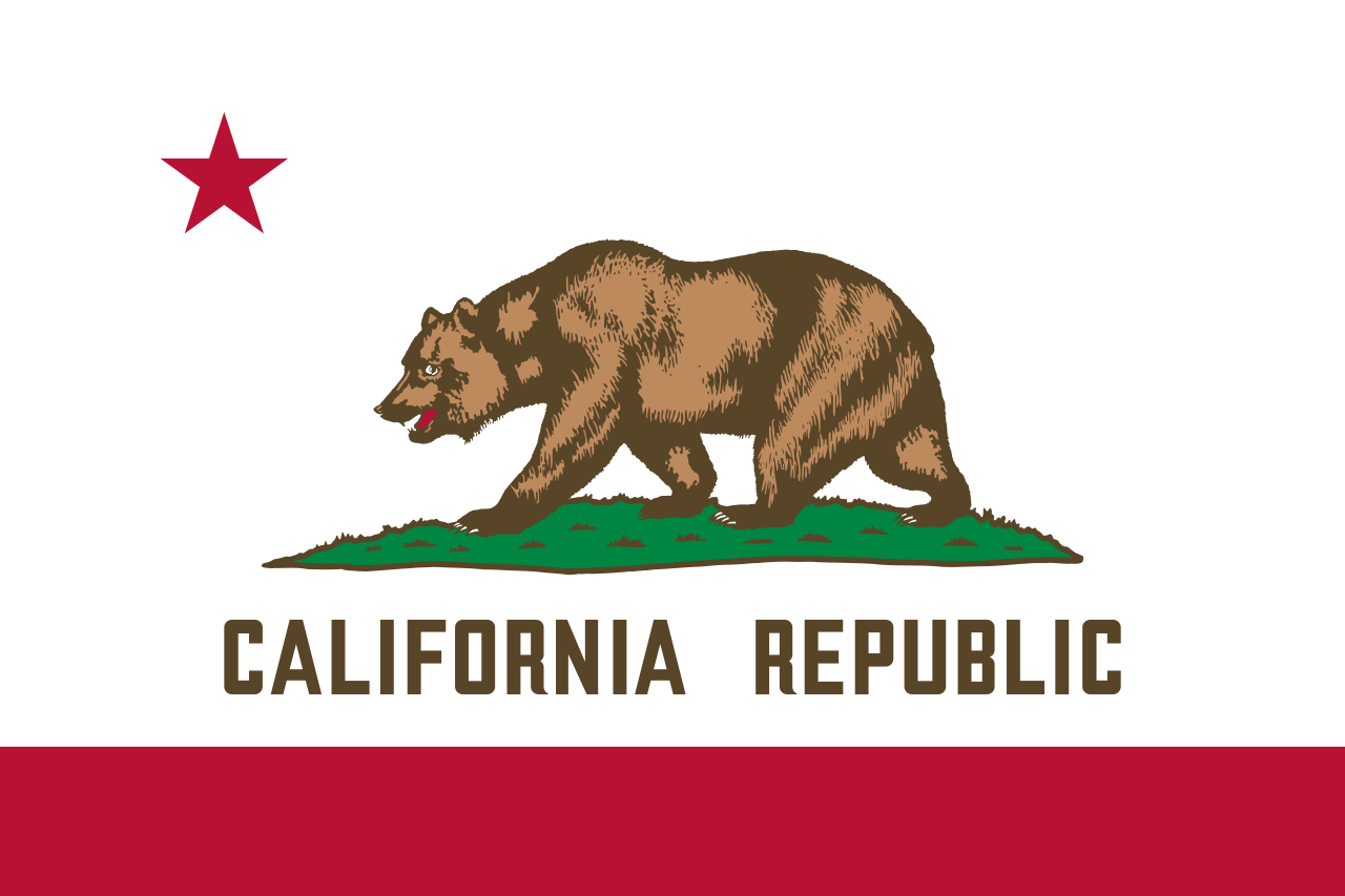 California-CA
 Cataluña
China
Chūbu
Germany
England
Finland
France
Cataluña
China
Chūbu
Germany
England
Finland
France
 Georgia-GA
Greece
Hebei Sheng-HE
Hokkaidō
Georgia-GA
Greece
Hebei Sheng-HE
Hokkaidō
 Ile-de-France
Italy
Japan
Canada
Kantō
Ile-de-France
Italy
Japan
Canada
Kantō
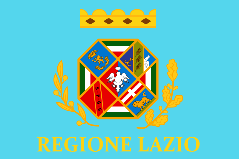 Lazio
Mexico
Lazio
Mexico
 Missouri-MO
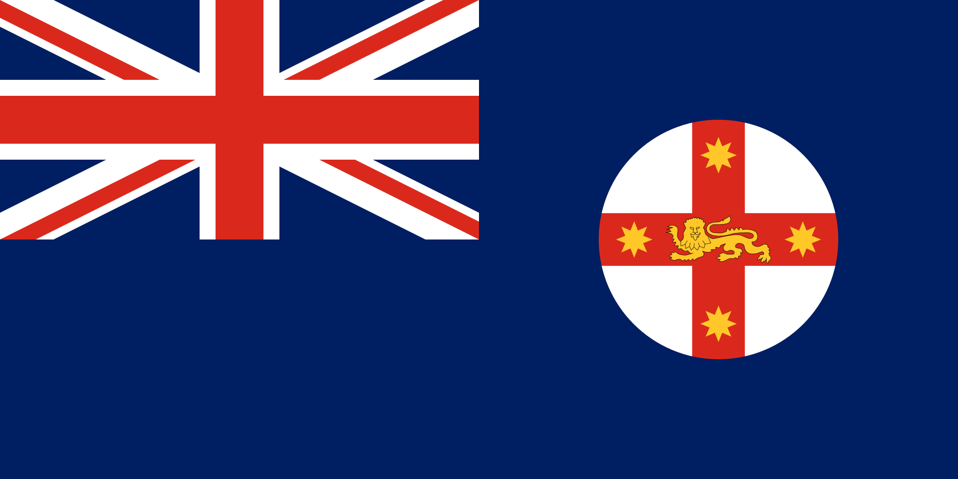 New South Wales-NSW
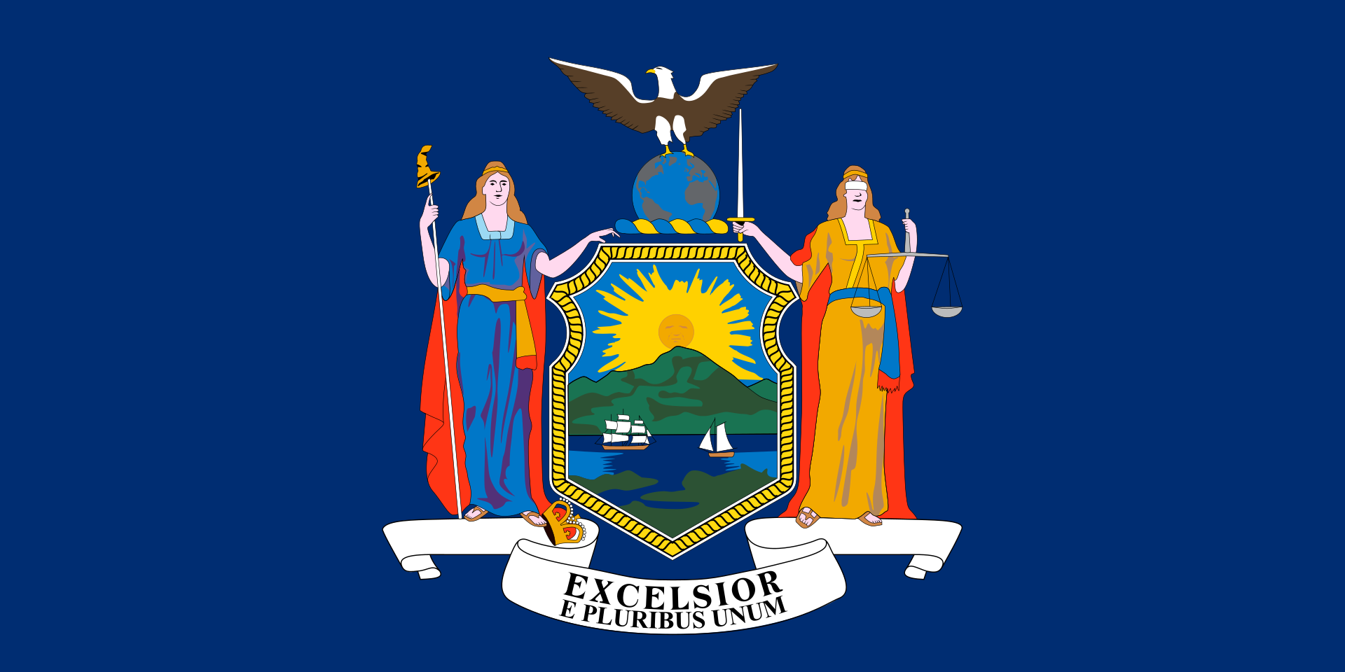 New York-NY
Netherlands
Norwegen
2002 Winter Olympics
2006 Winter Olympics
2010 Winter Olympics
2014 Winter Olympics
2018 Winter Olympics
2022 Winter Olympics
Austria
New York-NY
Netherlands
Norwegen
2002 Winter Olympics
2006 Winter Olympics
2010 Winter Olympics
2014 Winter Olympics
2018 Winter Olympics
2022 Winter Olympics
Austria
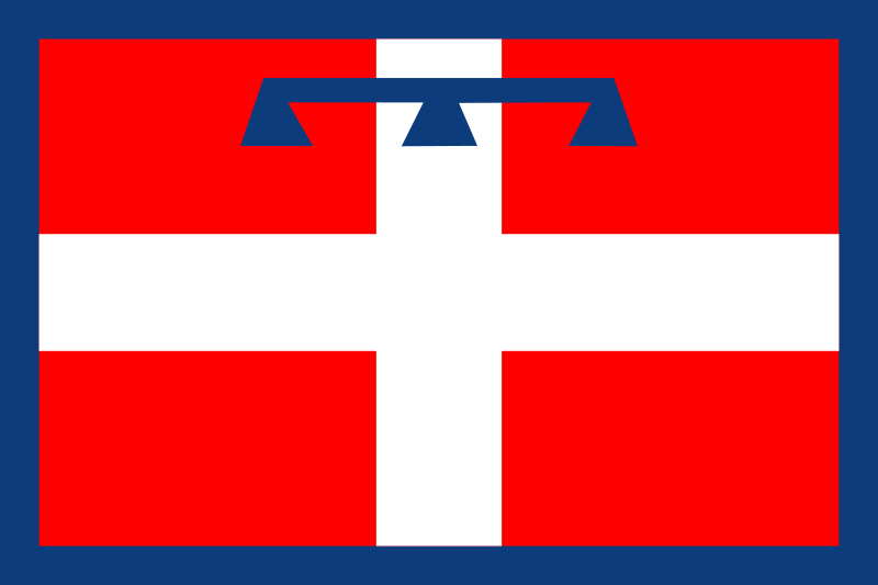 Piemonte
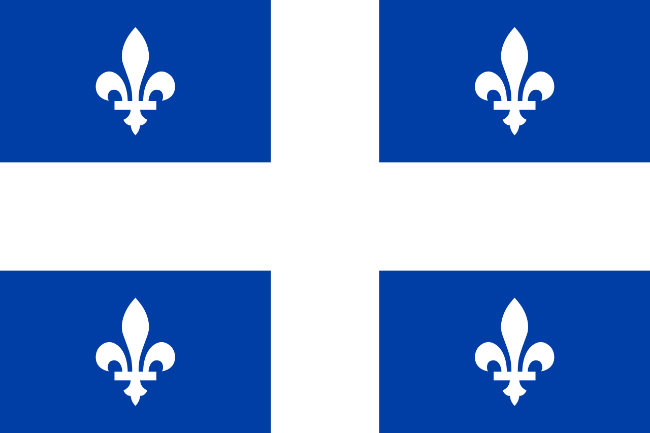 Quebec-QC
Republic of Korea
Rio de Janeiro
Russia
Schleswig-Holstein
Sweden
Switzerland
Spain
Quebec-QC
Republic of Korea
Rio de Janeiro
Russia
Schleswig-Holstein
Sweden
Switzerland
Spain
 Sport
Sport
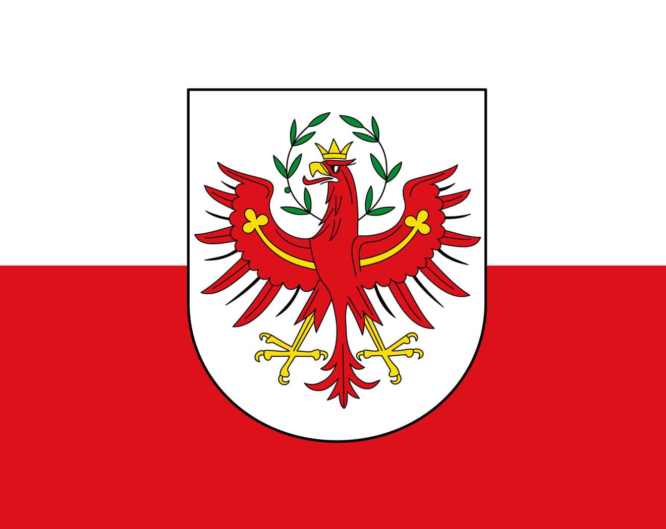 Tyrol
Tyrol
 Utah-UT
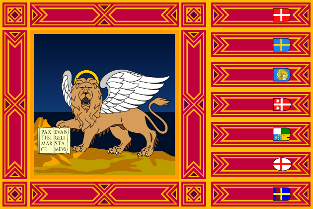 Veneto
United States
United Kingdom
Veneto
United States
United Kingdom
 Victoria-VIC

奥林匹克圣火(英语:Olympic Flame)是奥林匹克运动会的标志。它在古代奥运会上燃烧以纪念古希腊神话中,普罗米修斯从宙斯手中偷来的火。从1928年开始,奥林匹克圣火又重新成为了奥运会的一部分。从1936年柏林奥运会开始出现了圣火传递。它有着传承火焰,生生不息的意义。
Das olympische Feuer ist ein Symbol der olympischen Bewegung. Es ist auch ein Symbol der Kontinuität zwischen den antiken und den modernen Spielen.[1] Das olympische Feuer wird einige Monate vor den Olympischen Spielen in Olympia, Griechenland, entzündet. Mit dieser Zeremonie beginnt der olympische Fackellauf, der offiziell mit dem Entzünden des olympischen Kessels während der Eröffnungsfeier der Olympischen Spiele endet. Die Flamme brennt dann während der gesamten Dauer der Spiele im Kessel weiter, bis sie bei der Abschlusszeremonie gelöscht wird.
Alberta-AB
Argentina
Australia
Auvergne-Rhône-Alpes
Bavaria
Beijing Shi-BJ
Berlin
Bosnia Herzegovina
Brazil
British Columbia-BC
California-CA
Cataluña
China
Chūbu
Germany
England
France
Georgia-GA
Greece
Hokkaidō
Ile-de-France
Italy
Japan
Jiangsu Sheng-JS
Canada
Kantō
Lazio
 Lombardia
Mexico
New South Wales-NSW
New York-NY
Norwegen
Austria
Piemonte
Quebec-QC
Lombardia
Mexico
New South Wales-NSW
New York-NY
Norwegen
Austria
Piemonte
Quebec-QC
 Queensland-QLD
Republic of Korea
Rio de Janeiro
Russia
Switzerland
Senegal
Singapore
Spain
Tyrol
Utah-UT
United States
United Kingdom
Queensland-QLD
Republic of Korea
Rio de Janeiro
Russia
Switzerland
Senegal
Singapore
Spain
Tyrol
Utah-UT
United States
United Kingdom

| 奥林匹克圣歌 | ||
|---|---|---|
| 希腊文歌词 | 英文歌词 | 中文歌词 |
| Αρχαίο Πνεύμ' αθάνατο, αγνέ πατέρα του ωραίου, του μεγάλου και τ'αληθινού, κατέβα, φανερώσου κι άστραψ'εδώ πέρα στην δόξα της δικής σου γης και τ'ουρανού. |
Immortal spirit of antiquity, Father of the true, beautiful and good, Descend, appear, shed over us thy light Upon this ground and under this sky Which has first witnessed thy unperishable fame. |
古代不朽之神, 美丽、伟大而正直的圣洁之父。 祈求降临尘世以彰显自己, 让受人瞩目的英雄在这大地苍穹之中, 作为你荣耀的见证。 |
| Στο δρόμο και στο πάλεμα και στο λιθάρι, στων ευγενών Αγώνων λάμψε την ορμή, και με τ' αμάραντο στεφάνωσε κλωνάρι και σιδερένιο πλάσε κι άξιο το κορμί. |
Give life and animation to those noble games! Throw wreaths of fadeless flowers to the victors In the race and in the strife! Create in our breasts, hearts of steel! |
请照亮跑步、角力与投掷项目, 这些全力以赴的崇高竞赛。 把用橄榄枝编成的花冠颁赠给优胜者, 塑造出钢铁般的躯干。 |
| Κάμποι, βουνά και θάλασσες φέγγουν μαζί σου σαν ένας λευκοπόρφυρος μέγας ναός, και τρέχει στο ναό εδώ, προσκυνητής σου, Αρχαίο Πνεύμ' αθάνατο, Kάθε λαός. |
In thy light, plains, mountains and seas Shine in a roseate hue and form a vast temple To which all nations throng to adore thee, Oh immortal spirit of antiquity! |
溪谷、山岳、海洋与你相映生辉, 犹如以色彩斑斓的岩石建成的神殿。 这巨大的神殿, 世界各地的人们都来膜拜, 啊!永远不朽的古代之神。 |