Deutsch-Chinesische Enzyklopädie, 德汉百科
 路易斯安那州

Heimspielbetrieb New Orleans Saints (NFL, seit 1975) Tulane Green Wave (NCAA-College-Football, seit 1975) New Orleans Jazz (NBA, 1975–1979) New Orleans Breakers (USFL, 1984) Veranstaltungen Sugar Bowl (NCAA, seit 1975) Super Bowl XII (1978) Super Bowl XV (1981) Super Bowl XX (1986) Super Bowl XXIV (1990) Super Bowl XXXI (1997) Super Bowl XXXVI (2002) Super Bowl XLVII (2013) WrestleMania XXX (2014) WrestleMania 34 (2018) Final Four der NCAA Division I Basketball Championship 1982, 1987, 1993, 2002, 2012 Konzerte Ausstellungen Messen

墨西哥湾是北美洲南部大西洋的一海湾,以佛罗里达半岛-古巴-犹加敦半岛一线与外海分割。北为美国,南、西为墨西哥,东南为古巴,东经佛罗里达海峡与大西洋相连,经尤卡坦海峡与加勒比海相接,是著名的墨西哥湾暖流的起点。墨西哥湾形成于3亿年前的地球板块运动。[1]
Der Golf von Mexiko (englisch Gulf of Mexico, spanisch Golfo de México; veraltet: Meerbusen von Mexiko[1]) ist eine nahezu vollständig von Nordamerika eingeschlossene Meeresbucht. Der Golf ist ein Randmeer des Atlantischen Ozeans und der nordwestliche Teil des Amerikanischen Mittelmeers.
湾の東部、北部、および北西部の海岸線はアメリカ合衆国(フロリダ州、アラバマ州、ミシシッピ州、ルイジアナ州、テキサス州)に接し、南西部と南部の海岸線はメキシコ(タマウリパス州、ベラクルス州、タバスコ州、カンペーチェ州、ユカタン州およびキンタナ・ロー州)に接している。また南東部はキューバとの海岸線をもつ。
アメリカとキューバの間にあるフロリダ海峡を経て大西洋に通じており、メキシコとキューバの間にあるユカタン海峡を経てカリブ海へと通じている。支湾として北東部にアパラチー湾、南西部にカンペチェ湾などがある。
メキシコ湾は東西の幅が約1,500km、総面積は約160万 km²で、南の3分の1は熱帯に入る。最大水深はSigsbee Deepでの4,384m。二大海流として黒潮と共に知られるメキシコ湾流はここを起源とし、巨大ハリケーンが頻繁に訪れることでも有名である。
The Gulf of Mexico (Spanish: Golfo de México) is an ocean basin and a marginal sea of the Atlantic Ocean,[1] largely surrounded by the North American continent.[2] It is bounded on the northeast, north and northwest by the Gulf Coast of the United States, on the southwest and south by the Mexican states of Tamaulipas, Veracruz, Tabasco, Campeche, Yucatan, and Quintana Roo, and on the southeast by Cuba. The US states of Texas, Louisiana, Mississippi, Alabama, and Florida border the Gulf on the north, which are often referred to as the "Third Coast", in comparison with the U.S. Atlantic and Pacific coasts.
The Gulf of Mexico formed approximately 300 million years ago as a result of plate tectonics.[3] The Gulf of Mexico basin is roughly oval and is approximately 810 nautical miles (1,500 km; 930 mi) wide and floored by sedimentary rocks and recent sediments. It is connected to part of the Atlantic Ocean through the Florida Straits between the U.S. and Cuba, and with the Caribbean Sea via the Yucatán Channel between Mexico and Cuba. With the narrow connection to the Atlantic, the Gulf experiences very small tidal ranges. The size of the Gulf basin is approximately 1.6 million km2 (615,000 sq mi). Almost half of the basin is shallow continental shelf waters. The basin contains a volume of roughly 2,500 quadrillion liters (550 quadrillion Imperial gallons, 660 quadrillion US gallons, 2.5 million km3 or 600,000 cu mi).[4] The Gulf of Mexico is one of the most important offshore petroleum production regions in the world, comprising one-sixth of the United States' total production.[5]
Le golfe du Mexique est un golfe de l'océan Atlantique, situé au sud-sud-est de l'Amérique du Nord. Il s'étend sur une superficie de 1 550 000 km2. Il baigne la péninsule de Floride, la Louisiane , le Sud-Est du Texas, la côte orientale du Mexique et une partie du littoral nord de Cuba.
Il golfo del Messico è uno dei golfi più grandi del mondo[1], situato nell'Oceano Atlantico, tra la costa dell'America settentrionale e centrale ad ovest e il mar dei Caraibi ad est.
Situato a Sud degli Stati Uniti e a Nord del Messico, e delimitato da due grandi penisole, lo Yucatán e la Florida, rispettivamente in Messico e negli Stati Uniti, comprende i litorali di undici stati: Florida, Alabama, Mississippi, Louisiana e Texas (per gli Stati Uniti) e Tamaulipas, Veracruz, Tabasco, Campeche, Yucatán e Quintana Roo (per gli Stati del Messico). Sul golfo si affaccia anche lo Stato di Cuba ed è collegato ad est al Mar dei Caraibi.
L'ampia sezione del golfo compresa tra la penisola dello Yucatán e la costa messicana assume la denominazione di baia di Campeche, mentre insieme al Mar dei Caraibi, forma il Mediterraneo Americano, espressione non riportata normalmente nelle carte, ma usata in oceanografia, geologia e biologia marina[2]. In esso viene generata la famosa Corrente del Golfo che rende abitabili la maggior parte delle coste atlantiche dell'Europa ed è inoltre luogo di formazione e transito di cicloni tropicali che qui prendono il nome di uragani a partire da tempeste tropicali che impattano poi sovente sulla costa messicana e statunitense o sulle isole caraibiche.
El golfo de México es una cuenca oceánica contenida entre los litorales de México, Estados Unidos y Cuba. Los estados mexicanos que tienen costa en este golfo son: Tamaulipas, Veracruz, Tabasco, Campeche, Yucatán; los estadounidenses son: Florida, Alabama, Misisipi, Luisiana y Texas. La península de Florida y la isla de Cuba ocupan la parte oriental del golfo, donde se encuentra la salida de este hacia el océano Atlántico, en tanto que la península de Yucatán, también al oriente, separa al golfo del mar Caribe.1
Мексика́нский зали́в (исп. Golfo de México, англ. Gulf of Mexico, фр. Golfe de Mexique) — внутреннее море западной части Атлантического океана. Ограничен с северо-запада, севера и востока побережьем США (штаты Флорида, Алабама, Миссисипи, Луизиана и Техас), на юге и юго-западе — побережьем Мексики (штаты Тамаулипас, Веракрус, Табаско, Кампече, Юкатан), а также островом Кубой[1]. Внешне напоминает овал. Площадь залива — 1543 тыс. км², объём воды — около 2332 тыс. км³[2]. Энергия вод, которые сильно нагреваются в летний период, служит основой для формирования сильных тропических штормов и мощных ураганов, крупнейшие из которых (Катрина, Густав, Иван и др.) практически ежегодно приводят к разрушительным последствиям в прибрежных регионах залива. Имеет важное хозяйственное значение для государств, омываемых им. Является одним из самых тёплых водоёмов в мире[3].
Мексиканский залив образовался примерно 300 миллионов лет назад в результате тектоники литосферных плит[4]. Поверхность залива по форме напоминает овал шириной около 1,5 тысяч километров. Дно залива составлено из осадочных пород и недавних отложений. Сообщается с Атлантическим океаном через Флоридский пролив между США и Кубой, и с Карибским морем через Юкатанский пролив между Кубой и Мексикой. Мексиканский залив и Карибское море иногда объединяют под названием Американское Средиземное море. Из-за слабой связи с Атлантическим океаном, залив испытывает лишь небольшие приливы и отливы. Площадь залива составляет 1,5—1,6 млн км², около половины составляют континентальные шельфовые воды. Объём воды в заливе оценивается в 2.5 миллиона кубических километров[3].

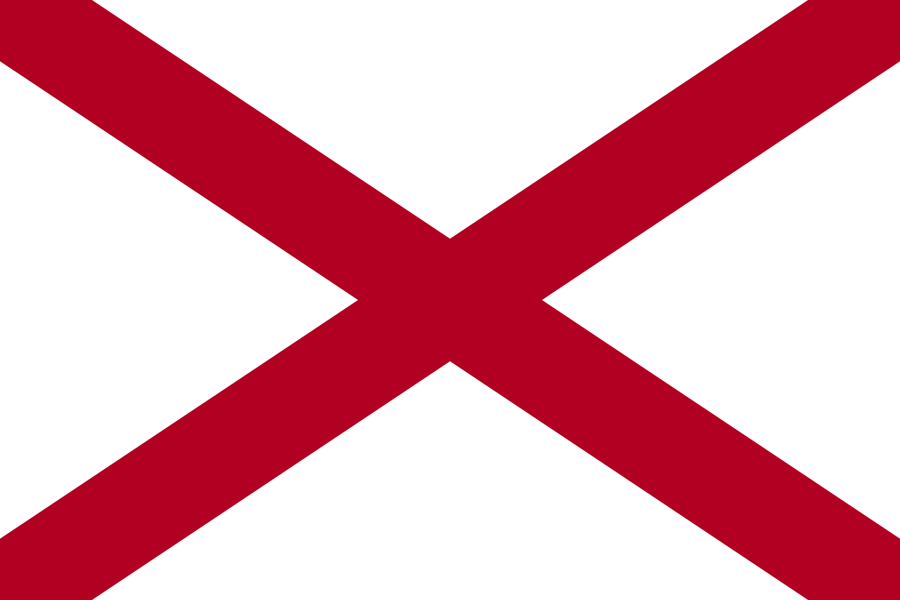 阿拉巴马州
阿拉巴马州

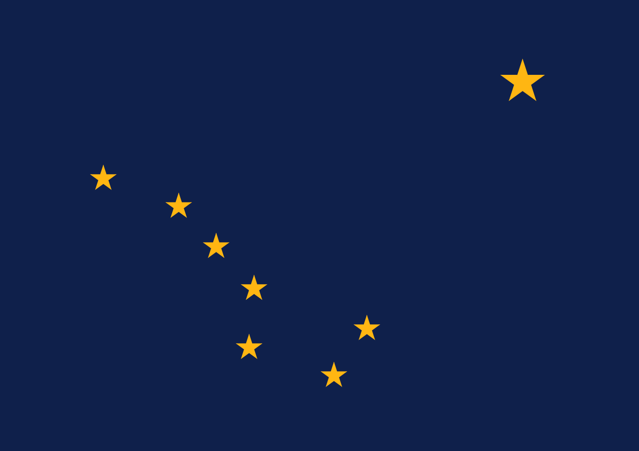 阿拉斯加州
阿拉斯加州

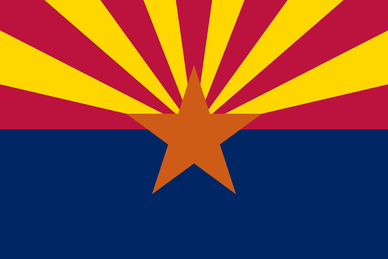 阿利桑那州
阿利桑那州

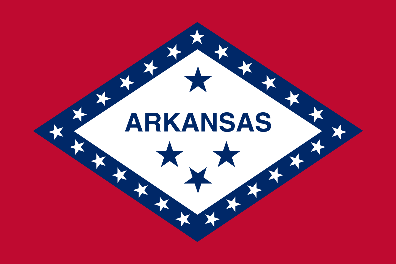 阿肯色州
阿肯色州

 教育和研究
教育和研究
 美国的高等院校

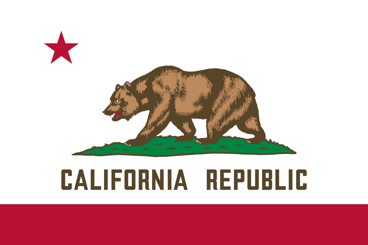 加利福尼亚州

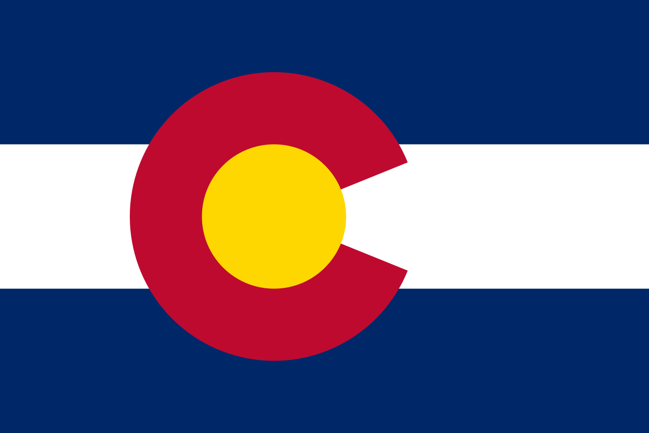 科罗拉多州
科罗拉多州

 康涅狄格州
康涅狄格州

 特拉华州
特拉华州

 佛罗里达州
佛罗里达州

 乔治亚州
乔治亚州

 夏威夷州
夏威夷州

 爱达荷州
爱达荷州

 伊利诺斯州
伊利诺斯州

 印第安纳州
印第安纳州

 爱荷华州
爱荷华州

 堪萨斯州
堪萨斯州

 肯塔基州
肯塔基州

 路易斯安那州

 缅因州
缅因州

 马里兰州
马里兰州

 马萨诸塞州
马萨诸塞州

 密歇根州
密歇根州

 明尼苏达州
明尼苏达州

 密西西比州
密西西比州

 密苏里州
密苏里州

 蒙大拿州
蒙大拿州

 内布拉斯加州

 内华达州
内华达州

 新罕布什尔州

 新泽西州
新泽西州

 新墨西哥州
新墨西哥州

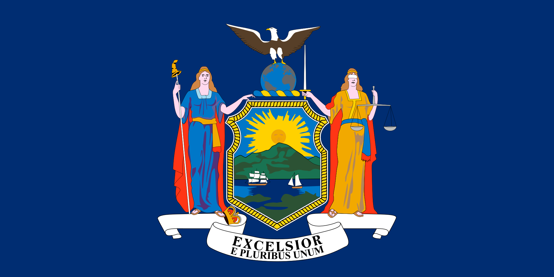 纽约州
纽约州

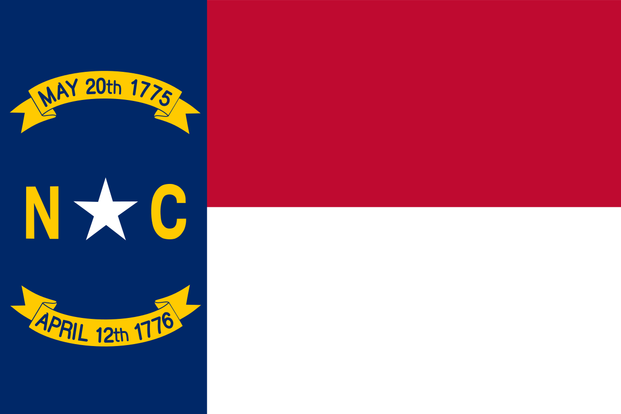 北卡罗来纳州

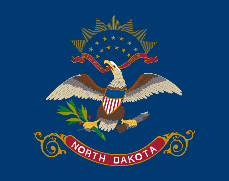 北达科他州
北达科他州

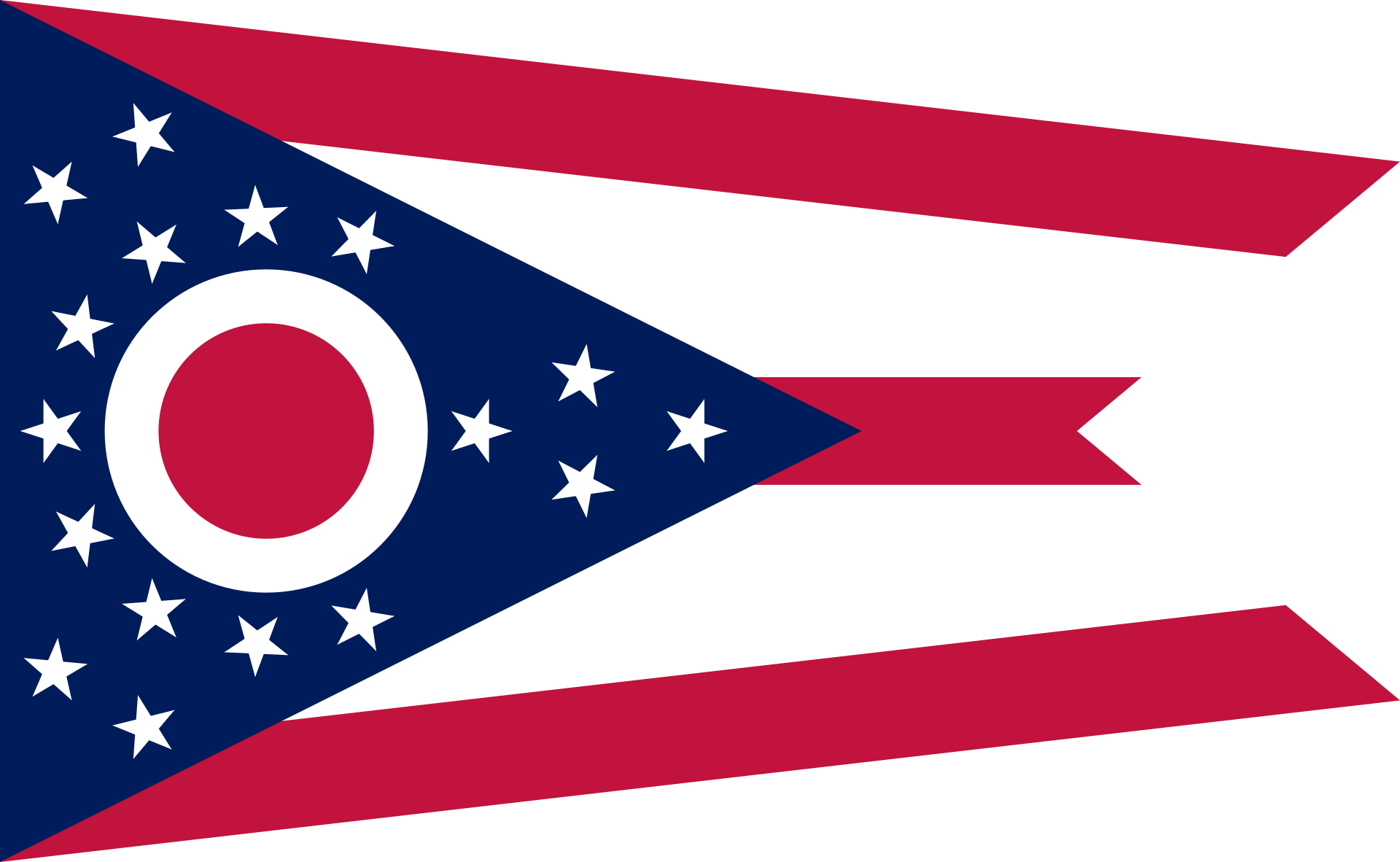 俄亥俄州
俄亥俄州

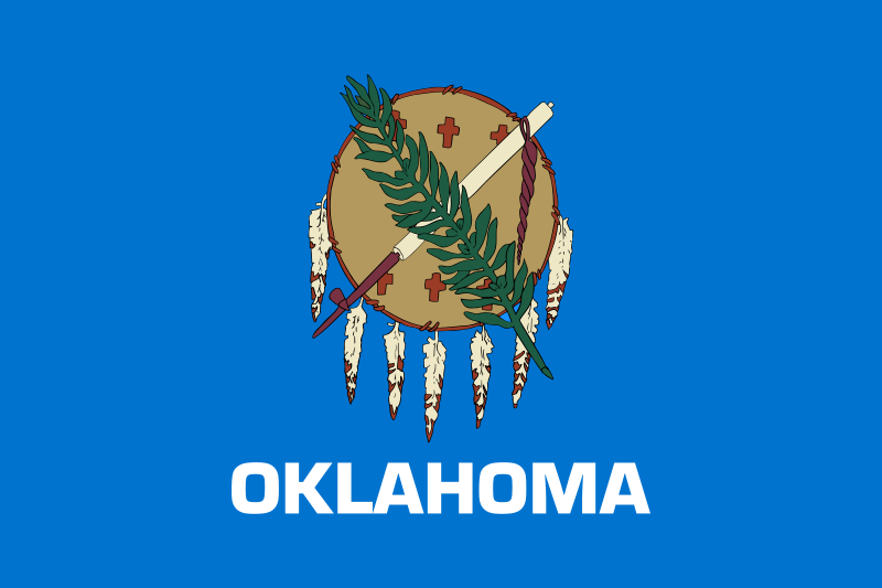 俄克拉荷马州

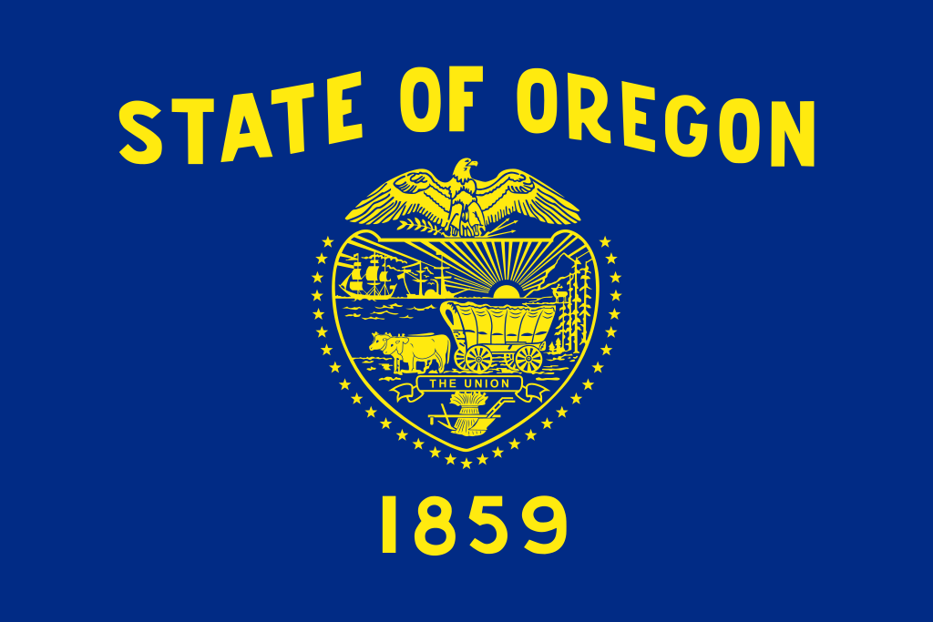 俄勒冈州
俄勒冈州

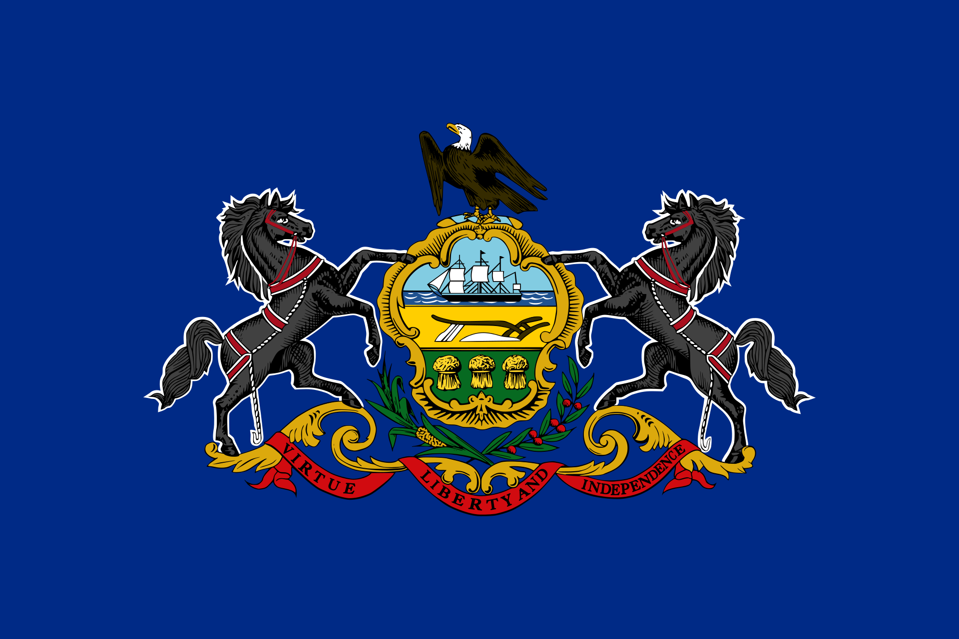 宾夕法尼亚州

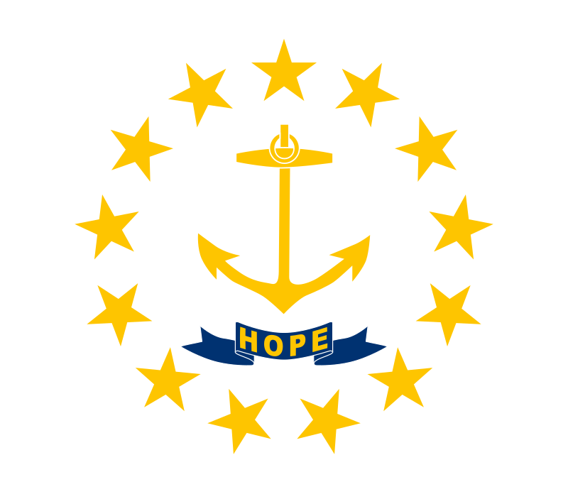 罗得岛州
罗得岛州

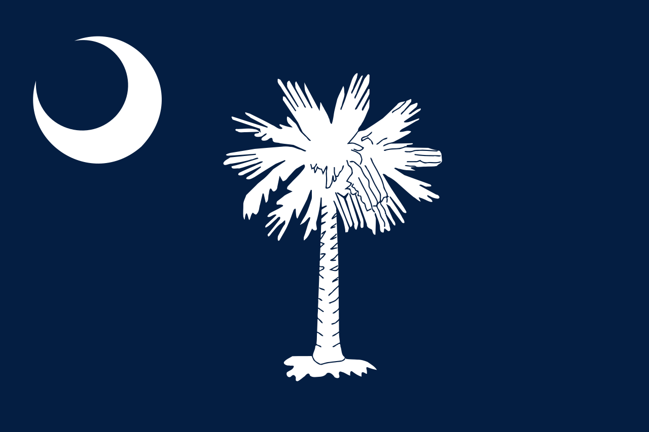 南卡罗来纳州

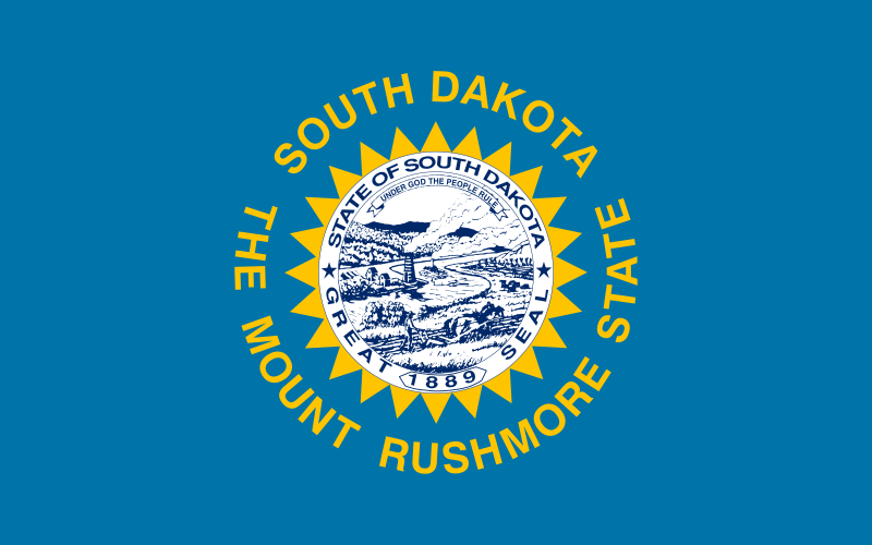 南达科他州
南达科他州

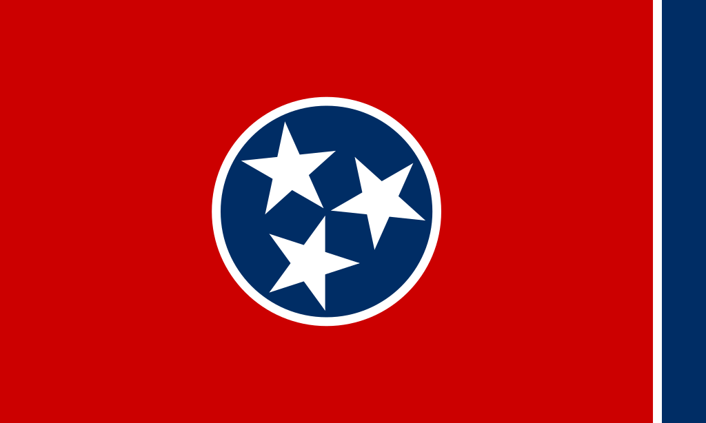 田纳西州
田纳西州

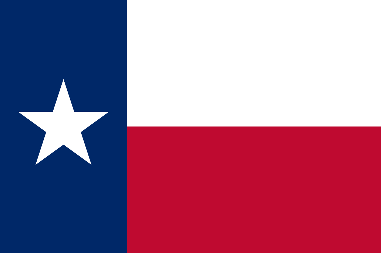 得克萨斯州
得克萨斯州

 美国的大学
美国的大学

 犹他州
犹他州
 美国
美国

 佛蒙特州
佛蒙特州

 弗吉尼亚州
弗吉尼亚州

 华盛顿州
华盛顿州

 华盛顿哥伦比亚特区

 西弗吉尼亚州

 威斯康辛州
威斯康辛州

 怀俄明州
怀俄明州
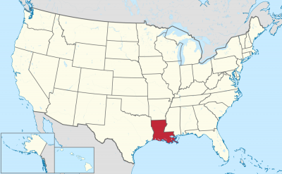
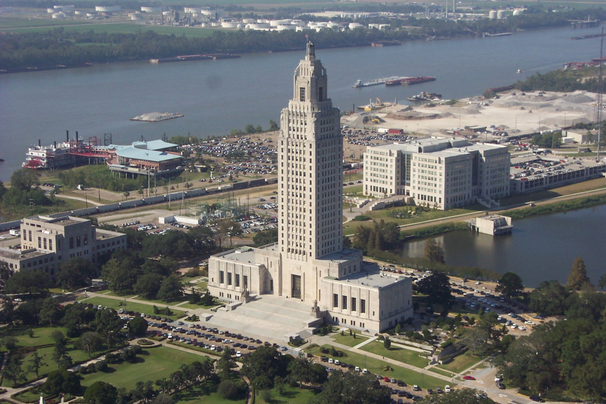
ルイジアナ州(英: State of Louisiana)は、アメリカ合衆国南部の州である。アメリカ合衆国50州の中で、陸地面積では第31位、人口では第25位である。 州都はバトンルージュ市、最大の都市はニューオーリンズ市である。元フランス領であったが、1812年、アメリカ合衆国の州になった。民法には大陸法の影響が色濃く残っている。また州の下の行政区画として、他州で用いられるカウンティ(county、郡)のかわりにパリッシュ(parish、キリスト教の小教区を意味したが、現在は行政小教区 civil parishで、日本語ではカウンティ相当として「郡」と訳している)が用いられるのもフランス植民地時代の影響である。パリッシュがカウンティ相当として使われるのはアメリカではルイジアナ州のみである。
州内幾つかの都市圏では、多文化、多言語の遺産が残っており、18世紀に領域を支配したフランス(本国およびアカディア)やスペイン(ヌエバ・エスパーニャ)の混合文化に強く影響され、また先住民であるインディアンや、西アフリカから奴隷として連れてこられたアフリカ系アメリカ人の文化の影響も見られる。19世紀初めにアメリカ合衆国の領土となり、アングロサクソン系のアメリカ人が流入して州に昇格する前に、アメリカ合衆国の他州とは幾分異なった文化が形成され、今日に繋がっている。
Louisiana (/luˌiːziˈænə/ (![]() listen), /ˌluːzi-/ (
listen), /ˌluːzi-/ (![]() listen))[a] is a state in the Deep South region of the South Central United States. It is the 19th-smallest by area and the 25th most populous of the 50 U.S. states. Louisiana is bordered by the state of Texas to the west, Arkansas to the north, Mississippi to the east, and the Gulf of Mexico to the south. A large part of its eastern boundary is demarcated by the Mississippi River. Louisiana is the only U.S. state with political subdivisions termed parishes, which are equivalent to counties. The state's capital is Baton Rouge, and its largest city is New Orleans.
listen))[a] is a state in the Deep South region of the South Central United States. It is the 19th-smallest by area and the 25th most populous of the 50 U.S. states. Louisiana is bordered by the state of Texas to the west, Arkansas to the north, Mississippi to the east, and the Gulf of Mexico to the south. A large part of its eastern boundary is demarcated by the Mississippi River. Louisiana is the only U.S. state with political subdivisions termed parishes, which are equivalent to counties. The state's capital is Baton Rouge, and its largest city is New Orleans.
Much of the state's lands were formed from sediment washed down the Mississippi River, leaving enormous deltas and vast areas of coastal marsh and swamp.[citation needed] These contain a rich southern biota; typical examples include birds such as ibis and egrets. There are also many species of tree frogs, and fish such as sturgeon and paddlefish. In more elevated areas, fire is a natural process in the landscape and has produced extensive areas of longleaf pine forest and wet savannas. These support an exceptionally large number of plant species, including many species of terrestrial orchids and carnivorous plants.[citation needed] Louisiana has more Native American tribes than any other southern state, including four that are federally recognized, ten that are state recognized, and four that have not received recognition.[9]
Some Louisiana urban environments have a multicultural, multilingual heritage, being so strongly influenced by a mixture of 18th-century French, Italian, Haitian, Spanish, French Canadian, Native American, and African cultures that they are considered to be exceptional in the U.S. Before the American purchase of the territory in 1803, the present-day State of Louisiana had been both a French colony and for a brief period a Spanish one. In addition, colonists imported numerous African people as slaves in the 18th century. Many came from peoples of the same region of West Africa, thus concentrating their culture. In the post-Civil War environment, Anglo-Americans increased the pressure for Anglicization, and in 1921, English was for a time made the sole language of instruction in Louisiana schools before a policy of multilingualism was revived in 1974.[10][11] There has never been an official language in Louisiana, and the state constitution enumerates "the right of the people to preserve, foster, and promote their respective historic, linguistic, and cultural origins".[10]
Like other states in the Deep South region, Louisiana frequently ranks low in terms of health, education, and development, and high in measures of poverty.[12][13][14] In 2018, Louisiana was ranked as the least healthy state in the country, with high levels of drug-related deaths and excessive alcohol consumption, while it has had the highest homicide rate in the United States since at least the 1990s.[15][16][17]
La Louisiane (en anglais : Louisiana, /luˌi.ziˈæ.nə/4 Écouter ; en créole louisianais : Lwizyàn) est un État du Sud des États-Unis, entouré à l'ouest par le Texas, au nord par l'Arkansas, à l'est par le Mississippi et au sud par le golfe du Mexique. C'est le 31e État américain par sa superficie et le 25e par sa population. Sa capitale est Baton Rouge et sa plus grande ville est La Nouvelle-Orléans.
En 2019, sa population s'élève à 4 648 794 habitants5.
C'est le seul État américain dont les subdivisions politiques sont dénommées paroisses et non comtés ou boroughs (en Alaska).
La Louisiana (in italiano Luisiana[2][3], anticamente Lugiana) è uno stato federato degli Stati Uniti d'America. Confina con Texas, Arkansas e Mississippi, mentre a sud è bagnata dal Golfo del Messico. La capitale è Baton Rouge, mentre la città più grande e famosa è New Orleans. Lo Stato ha due lingue ufficiali: inglese e francese.
Luisiana5 (en inglés: Louisiana) es uno de los cincuenta estados que, junto con Washington D. C., forman los Estados Unidos de América. Su capital es Baton Rouge y su ciudad más poblada, Nueva Orleans. Está ubicado en la región Sur del país, división Centro Suroeste. Limita al norte con Arkansas, al este con los ríos Misisipi y Pearl, que lo separan de Misisipi, al sur con el golfo de México (océano Atlántico) y al oeste con Texas (la mayor parte de esta frontera la forma el río Sabine). Fue admitido en la Unión el 30 de abril de 1812, como el estado número 18.
Otras ciudades importantes son Lafayette y Shreveport. Luisiana es el único estado del país cuyas subdivisiones políticas se denominan parroquias, que son los gobiernos locales equivalentes a los condados de los demás estados. La parroquia más poblada es la parroquia de East Baton Rouge, y la más grande por área es la parroquia de Plaquemines.
Algunos entornos urbanos de Luisiana ostentan un patrimonio multicultural y multilingüe, mostrando una intensa mezcla de la cultura francesa (especialmente del s. XVIII), la española, la indoamericana (como la nación Caddo) y culturas africanas; todo este mosaico étnico está considerado como algo excepcional en los EE. UU.
El actual estado de Luisiana fue un territorio bajo dominio español (Luisiana española) y luego una colonia francesa (Luisiana francesa).
Su patrón de desarrollo incluyó la importación de numerosos esclavos africanos en el siglo XVII, muchos de ellos capturados y llevados a la Luisiana desde la misma región del África Occidental, concentrando así su cultura. Después de la Guerra de secesión, los angloamericanos aumentaron la presión para la anglificación, y en 1915 el idioma inglés se hizo el único idioma oficial del estado. Pese a todo, el estado de Luisiana tiene más tribus indoamericanas que cualquier otro estado del sur, entre ellas, cuatro que son reconocidas por el gobierno federal, diez reconocidas por el estado y cuatro que aún no han recibido reconocimiento.
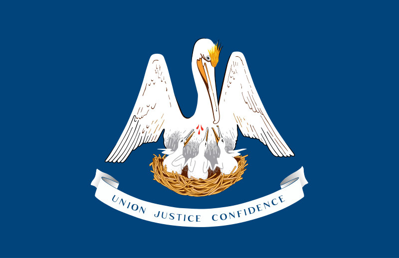
Луизиа́на[1][2] (англ. Louisiana; фр. Louisiane; исп. Luisiana) — штат[3] на юге США, 18-й штат, вошедший в Союз. Столица — Батон-Руж, крупнейший город — Новый Орлеан. Общая площадь 135 382 км² (31 место в США), в том числе на сушу приходится 113 721 км². Население 4 574 836 человек (25 место в США). Официальное прозвище Луизианы — «Штат пеликанов». Названа в честь французского короля Людовика XIV (во французском произношении Луи).
В прошлом Луизианой называлась обширная территория вблизи побережья Мексиканского залива, контролировавшаяся французами (см. Новая Франция). После Луизианской покупки южная часть этой территории составила штат с одноименным названием.
 能源
能源

 国际城市
国际城市
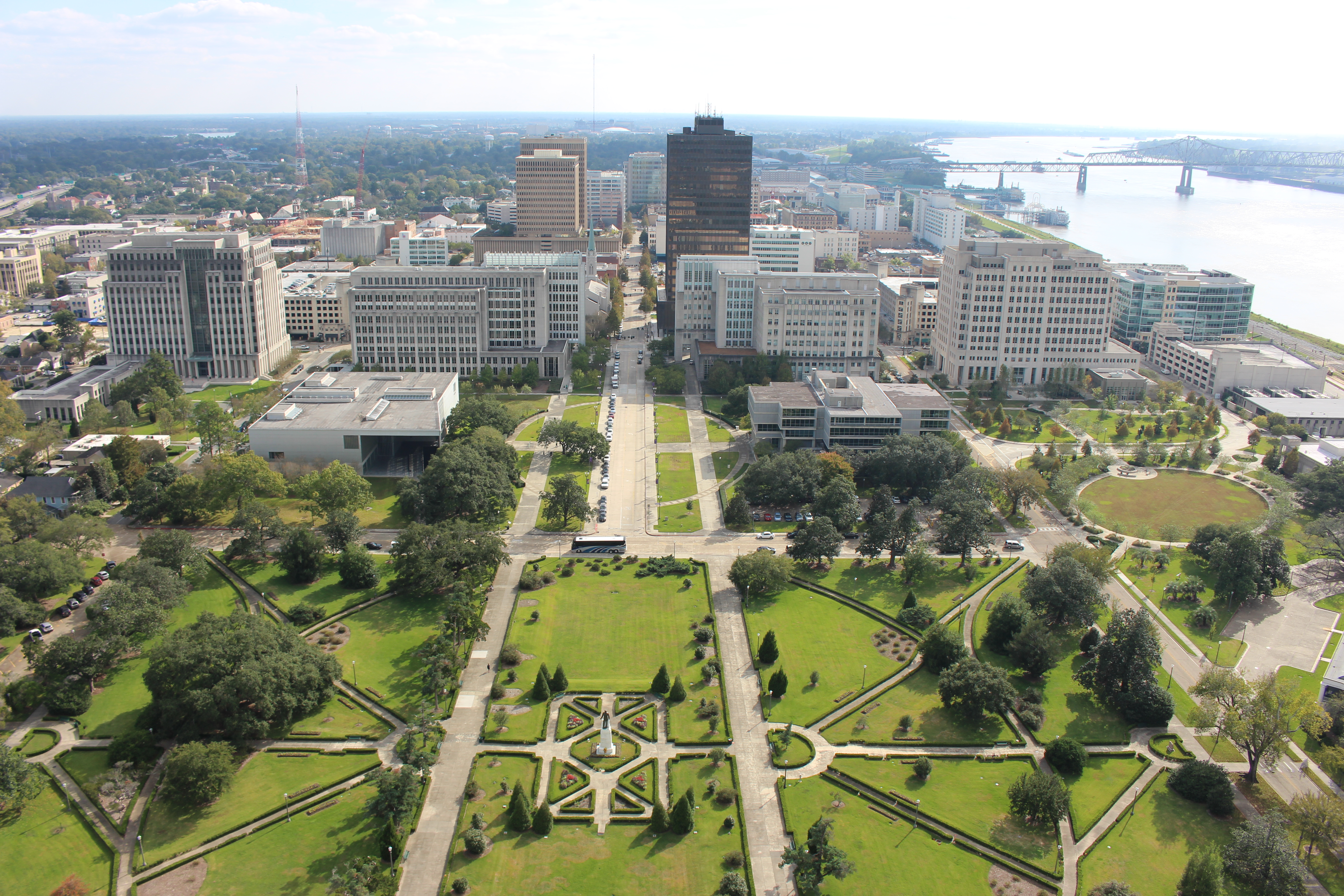
 建筑艺术
建筑艺术
 体育
体育
 展览会
展览会


 地理
地理


